


Leica Infinity
Infinitely connected survey office software.







.jpg?sc_lang=el-gr&hash=BCD6749A27EA821563CFEDBF5664D986)
Introducing a new dimension in reality capture and a new way of working for 3D laser scanning.

Introducing a new dimension in reality capture and a new way of working for 3D laser scanning.

Software fácil de utilizar con la habitual tecnología táctil

Intuitive Bürosoftware zur Verwaltung und Verarbeitung von Vermessungsdaten.

Flexible automatic deformation monitoring software solution.

Analyse & visualise monitoring data from everywhere.
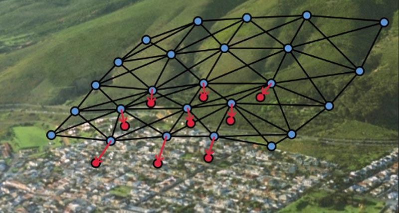
Automatic adjustment and deformation analysis for monitoring.

Field software for any application.

Surveying and engineering office software for field to finish.


