


A Message from the President
"A digital reality must mirror the real world so results can be precisely imported back to improve the current situation."






.jpg?sc_lang=bg-bg&hash=C761A6EEA5381CE2933B80E0D1CEBA22)
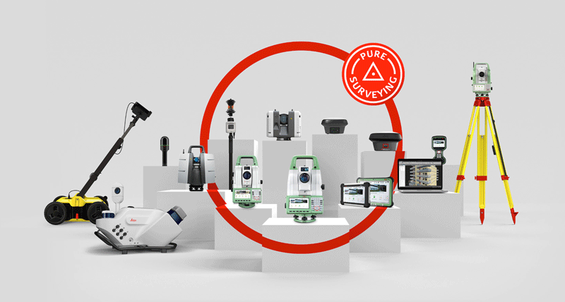
Introducing a new dimension in reality capture and a new way of working for 3D laser scanning.

Introducing a new dimension in reality capture and a new way of working for 3D laser scanning.
INTERGEO Edition - October 2016
A Message from the President
At Hexagon Geosystems, we focus on creating digital realities so professionals can work within current and accurate environments to produce the best possible results. What is a digital reality? When Russian technicians are trained to face dangerous events, like fires caused by faulty electrical connections, in a video game made with the aid of laser scanning technology, he learns critical safety measures in a digital reality so he can apply them in the real world. When Swiss researchers capture precise imagery of snow properties from airborne sensors, they operate in a digital reality to discover new methods to improve avalanche warnings.
A digital reality must mirror the real world so results can be precisely imported back to improve the current situation. To build better rail tracks and keep workers safe, Dutch surveyors provided the reality capture of rail yards with the help of our mobile mapping solutions. Contractors on a new expressway project in New Zealand needed to have a clear understanding of the dimensions of the land so they could lay a smooth path, so they turned to our MS60 MultiStation and machine control guidance.
Digital realities not only recreate today’s reality, but they also show us what can be. Space exploration from the United States with our new LiDAR technologies is helping scientists to comprehend global ice melt and better protect the Earth. Miners in Ghana now see where weak points are in the walls of a mine with our monitoring solutions, preventing catastrophic accidents. From above the earth to below the surface, digital realities are critical for safety and effective planning for the future.
Digital realities ensure we are shaping smart change in an rapidly evolving world. I’m proud our solutions are a part of this change. Enjoy your read.
Juergen Dold
President, Hexagon Geosystems
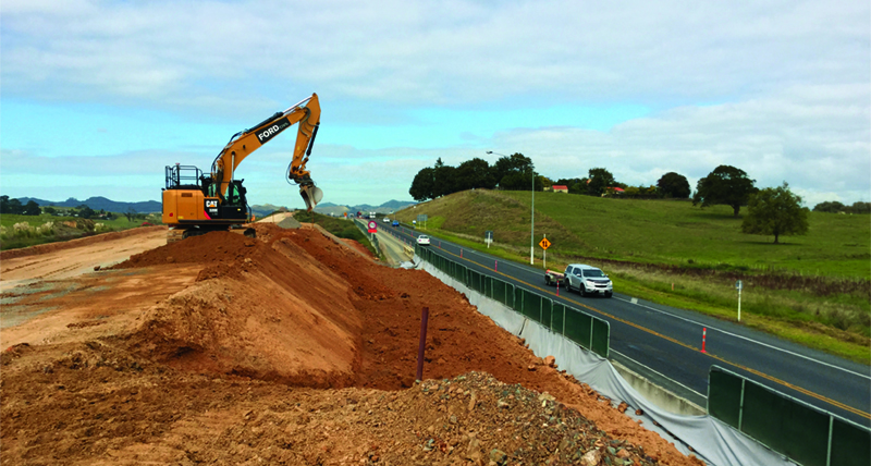
Using Leica Geosystems solutions to construct a new expressway safely and efficiently.

Controlling Norway’s largest infrastructure project with the Aibot X6.
Making mines more efficient with Hexagon Mining and MineSight.

Unravelling the mysteries of Sweden’s Sandby borg using Leica Zeno 20 and Ersi’s ArcGIS.

Ensuring safety in a rail yard project with the Leica Pegasus:Backpack.

3D scanning solutions help restore the Bonner Münster for generations to come.

Improving avalanche warnings with the Leica ADS100 airborne sensor.
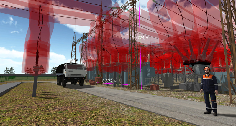
Creating video games to improve safety with the Leica ScanStation.

Documenting climate changes over long periods of time using Leica Cyclone.

Significantly improving the availability of GNSS positions under difficult conditions with Leica Geosystems' future-proof technology.

Measuring athletes’ performance with the Leica TS16 total station.

Using Leica Geosystems products to monitor a tunnel's progression.
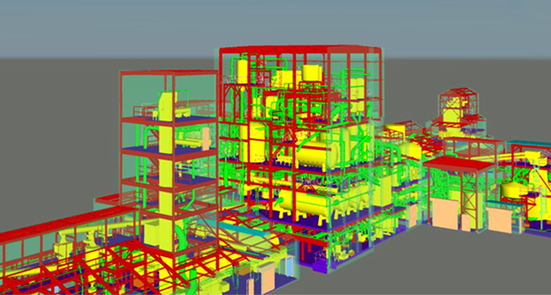
Increasing efficiency and safety in a plant with laser scanning.
