Leica DMC-5 airborne imaging system

For more efficient large-format airborne mapping

Hero-image

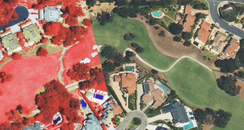
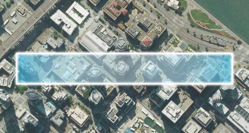
The Leica DMC-5 is the next generation of airborne imaging, designed to maximise efficiency for large-area mapping. The system captures over 30% more data compared to previous generations, with configurations up to 68,800 pixels across-track for greater area coverage and fewer flight lines. The DMC-5 offers field-of-view options from 36° to 71°, allowing operators to optimise image swath and ground resolution for different project and airspace requirements.


Enhanced operational flexibility

The DMC-5 offers flexible configurations to meet various project needs. The standard configuration adapts field of view and resolution for efficient, high-quality image capture, while the X configuration maximises efficiency at higher altitudes for large-area mapping projects.

Consistent end-to-end quality

The DMC-5 combines mechanical forward-motion compensation (FMC) with the Leica PAV gyro-stabilised mount to deliver sharp, consistent imagery at high aircraft speeds. Integration with Leica HxMap provides a scalable workflow from data ingest and radiometric normalisation to final deliverables.

Proven image performance

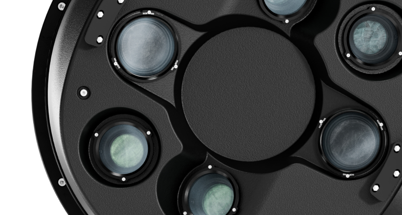
Built around the MFC250 optical system and a configurable camera architecture, the DMC-5 delivers superior image quality while giving operators the flexibility to adapt to evolving mapping needs and complex operational requirements.


Contact us


Get in contact with us for more information about the Leica DMC-5

Tech Update Webinar

Discover the latest innovations and technologies in airborne mapping, including the new Leica DMC-5.

Contact Us

Get in touch with Leica Geosystems' sales and support team for airborne sensors.