

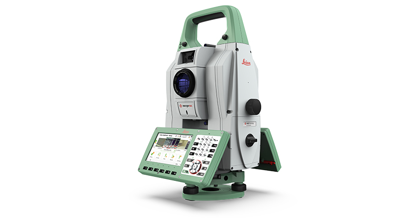
Leica серии RTC
Новый уровень технологий захвата реальности.






.jpg?sc_lang=ru-ru&hash=4CD86478982FB67ABA5615CA3D9427CD)
Introducing a new dimension in reality capture and a new way of working for 3D laser scanning.

Introducing a new dimension in reality capture and a new way of working for 3D laser scanning.

Новый уровень технологий захвата реальности.

Share, manage, and analyse your geodata projects in one intelligent cloud solution.

It's about pole position.

Measure what you see using this versatile, survey-grade GNSS RTK rover with Visual Positioning.

The latest technology Smart Antenna for customers who want to have it all and do not compromise between flexibility, quality and return on investment.

First upgradable lasers

Discover the new Leica CountryMapper hybrid airborne sensor.


.png?h=1080&iar=0&w=1920&sc_lang=ru-ru&hash=ED3958CAF13DED5EA4C319D5B826E53B)

