Accelerate Your Construction Workflows with the Leica AP20 AutoPole
Expert insight on Leica AP20 AutoPole, the world's smartest pole.
To introduce the AP20 AutoPole and its many benefits to construction professionals, we interviewed Shane O’Regan, Product Manager at Leica Geosystems. With expert knowledge on iCON total stations and iCON field software, he provides insight on how construction crews can increase productivity by integrating the AP20 AutoPole to their current robotic total station workflows.
Shane, thank you for taking the time to help us get to know this new product. Could you start by describing the Leica AP20 AutoPole?
The Leica AP20 AutoPole is a smart system that allows you to work faster while reducing mistakes across all construction related tasks. The combination of an intelligent sensor module with the new AP Reflector Pole enables three distinct, powerful possibilities to anyone working with our robotic total stations and field controllers: the ability to identify individual targets, automatic pole height readings and measuring with a tilted pole.
How exactly does the AP20 AutoPole work?
To answer this, let’s take a closer look at those three powerful possibilities I mentioned.
Our robotic total stations and MultiStations already detect what is (and what is not) a target, but with the AP20 AutoPole’s TargetID feature, they can detect if the target – moving or fixed – is your target. The prism target is uniquely identified, preventing the total station from locking onto other targets. This increases your productivity and is especially beneficial, for example, when using your Leica iCON iCR80 on a busy construction site with multiple sensors operating in the same area.
Thanks to a feature called PoleHeight, the AP Reflector Pole automatically measures its own height, checks for changes and applies them in Leica iCON or Leica Captivate field software. This means you will no longer need to read, check and enter height changes in the field, removing potential errors for elevation layout and measurements when working with 3D data.
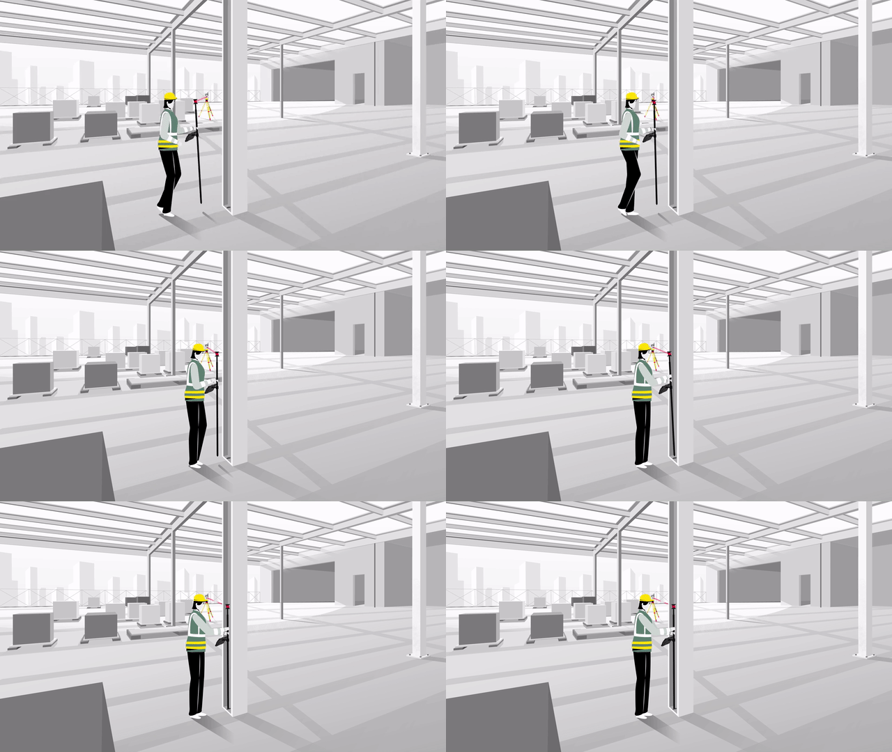
Finally, Tilt Compensation enables you to perform point layout measurements with a tilted pole. With no need to level the pole and hold it stable when measuring, you can speed up the process and be confident in your measurements. For even more accuracy, simply flip the pole to have the prism and AP20 AutoPole closer to the surface, making the pole solution even more versatile that before. Then we add the possibility to easily measure obstructed or hidden points, that previously required the user to move the total station to be able to measure the, and with the confidence that the tip of the pole is always the point measured.
The really unique thing about the AP20 AutoPole is that these three features are available in one single smart system, meaning that by adding it to your line-up, you can get these benefits on your existing high-end total stations, MultiStation, controllers and targets. It fits right into and streamlines the workflow you already have.
Do users need a special target to use the AP20 AutoPole?
The simple answer is no. With the AP20 AutoPole, we wanted you to be able to use all the pole-based targets that we offer and to have the flexibility and choice to swap these targets when needed. The AP20 AutoPole also supports all existing Leica iCON pole tip accessories, such as the centre punch for quick parking of layout points on concrete or the tilt plate when working in soft material, such as wet concrete, dry dirt and sand.
Can you describe applications where the Leica AP20 AutoPole will benefit construction professionals?
Digital workflows in construction are essential to drive efficiency and productivity. The AP20 AutoPole removes the last analogue steps in the robotic total station workflow, bringing benefits to nearly all areas of both building and heavy construction. Construction sites are busy and dynamic. When working in environments with multiple sensors, the AP20 AutoPole’s TargetID builds on our industry leading ATR tracking technology to ensure that the instrument only locks onto your target. This applies whether you are working on a busy deck for building or a road project in heavy construction.

When working with 3D data, height is just as important as 2D positional accuracy. Yet, given site conditions, you may need to change the pole height several times to ensure the TPS has a clear view to your prism. This is where simple mistakes and recording errors can occur, along with additional time spent to manually enter height data. However, from slab elevation checks to slope layout for earthworks, the AP20 AutoPole’s PoleHeight functionality automatically updates your pole height in the field software to the correct value, leaving you to focus on what’s important despite on-site obstacles.

The ability to measure with a tilted pole also has many applications. For example, when working on uneven surfaces, such as laying out on a pan deck or measuring volumes on a stockpile, you can measure faster without levelling and stabilising at every point. Additionally, you can measure more difficult positions, like concrete column edges or utility pipes in a trench. Accuracy is always visible in the field software, and you can set tolerances to ensure you maintain your standards.

Do you want to know more about the Leica AP20 AutoPole for surveying applications with the Leica Captivate software? Read our Surveying Expert Insight or visit the respective Leica AP20 AutoPole page.
Shane O'Regan,
Product Manager
Leica Geosystems AG
Свяжитесь с нами для получения дополнительной информации о Leica AP20 AutoPole для строительства
Опыт применения
Свяжитесь с Leica Geosystems
- Тахеометры
- GNSS cистемы
- Сети базовых станций ГНСС
- Лазерные сканеры
- Лазерные Трекеры
- Мобильные Лазерные Сканеры
- Системы воздушного картографирования
- Системы автоматизации спецтехники
- Construction TPS & GNSS
- Системы обнаружения
- Лазерные нивелиры
- Нивелиры
- Устройства сбора данных ГИС
- 3D Imager
- DISTO™ & Lino
- Программное обеспечение
- Решения для обеспечения безопасности
- Экскаватор
- Бульдозер
- Грейдер
- Скрепер
- Катки
- Укладчики и дорожно-фрезерные машины
- Решение для управления снежным покровом Alpine
- How-to videos from LMC Academy
- Leica iCON iRD3 – решение для буровых установок
- Loaders
- Буровые и сваебойные машины
- Leica iCON Build Software
- Leica AP20 AutoPole
- Leica iCON Site Software
- Leica iCON Controllers
- Software
- Leica iCON GNSS Smart Antennas
- Leica iCON GNSS Receivers
- Leica iCON Robotic Total Stations
- Leica iCON Construction Sensors
- Accessories
- Leica iCON Manual Total Stations
- Content Hub
- Leica iCON Layout Tool
- Contact Us
- Contact Us
- icon-contact-us
- Leica iCON – Overview of Software Releases
- iCON Building Construction Solutions
Select Country
Corporate Website (global)
Europe

Americas
- United States
- Canada
- Brazil
- Central America
- South America


