Manage & Distribute Data

Leica Infinity

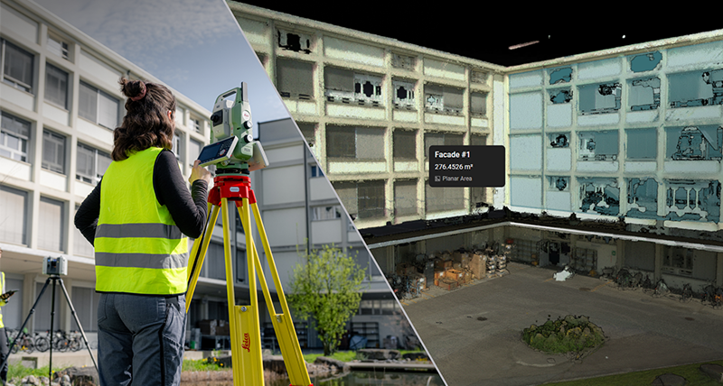
Leica Infinity geospatial office software suite is designed to manage, process, analyse and quality check field survey data from UAVs and terrestrial surveying equipment

Hexagon GeoCloud

 A secure, all‑in‑one cloud solution to store, visualise, analyse, and collaborate on surveying and reality capture data from anywhere.
 A secure, all‑in‑one cloud solution to store, visualise, analyse, and collaborate on surveying and reality capture data from anywhere.

Leica TruView Enterprise

Share & view point cloud data freely via the web or intranet.