


Leica Infinity
Infinitely connected survey office software.


.jpg?sc_lang=en-sg&hash=8E4D1BB7B7975A469AAF61B076BDEFA1)
Introducing a new dimension in reality capture and a new way of working for 3D laser scanning.

Immersive 3D field software to capture and manage data.

Leica Infinity geospatial office software suite is designed to manage, process, analyse and quality check field survey data from UAVs and terrestrial surveying equipment

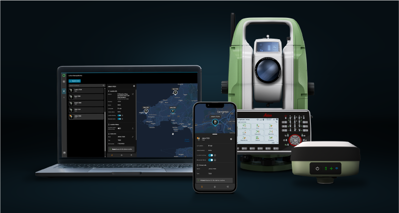
Manage your Leica field equipment from one central dashboard. GeoCloud Fleet provides visibility across your connected devices and serves as the foundation for expanding your workflows with additional cloud services.

Flexible automatic deformation monitoring software solution.
Monitoring software for autonomous sensor control and uninterrupted data logging in the field.

Analyse & visualise monitoring data from everywhere.

The integrated platform brining all sensor technology into one holistic view for mine monitoring
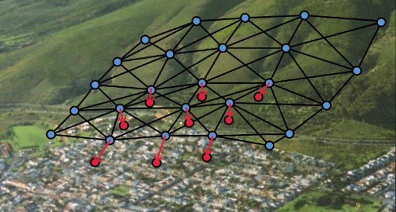
Automatic adjustment and deformation analysis for monitoring.

Surveying and engineering office software for field to finish.

Leading software suite for forensic investigation.

Evidence Recorder is the world's best-selling crash and crime scene data collection software used by reconstruction professionals using total stations or GNSS systems.


