


.jpg?sc_lang=fr-fr&hash=9A94E3D63E6A3D8EFA614E65B8130332)


Our advanced solutions in building construction have transformed work practices and processes industry-wide.
Building

Monitoring of a construction site
By using Leica Geosystems UAV, it was possible to carry out a complete and accurate condition survey of the construction project every week without entering the site.
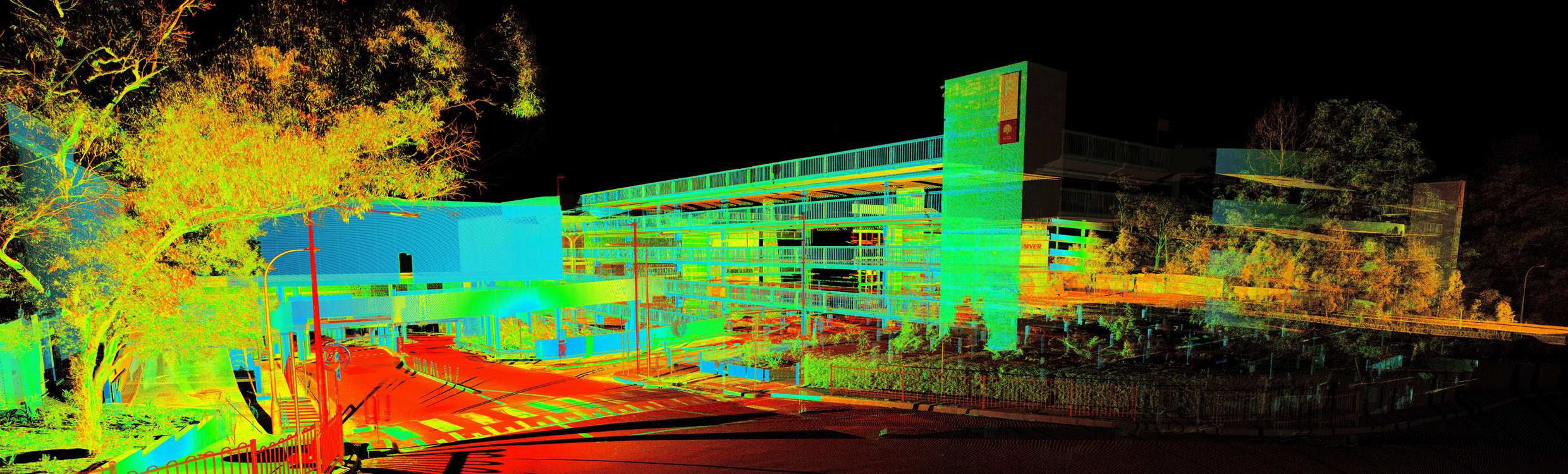
Scanner jusqu'à l'épuisement
Lorsqu'un groupe international de vente au détail a demandé à Project Surveyors, une société australienne de topographie, de créer un modèle Revit architectural et structurel précis pour le deuxième plus grand centre commercial du pays, la société a été ravie de participer.

Establishing positions with speed
Verifying construction in the USA with the iCON robot.

Expanding easily and accurately into the field of construction layout
Conducting building layouts in France with the iCON robot.

Pourquoi passer à la technologie numérique ?
Commencez votre voyage de construction numérique avec des stations totales manuelles.

Contactez Leica Geosystems
Trouvez un interlocuteur Leica Geosystems pour la vente, l’assistance et les services techniques.
Trouvez un interlocuteur Leica Geosystems pour la vente, l’assistance et les services techniques.