


Innovations to the Leica Nova MS60 Scanning Total Station
Expert Insight

When Leica Geosystems released the world’s first MultiStation – the Leica Nova MS50 – in 2013, it was unique to combine robotic total station technology with GNSS, high resolution imagery and 3D laser scanning. Continuing with this history of innovation, the new Leica Nova MS60 MultiStation, released in 2020, integrates the latest technologies to improve measurement potential across a broad range of applications. This includes enhanced scanning capabilities, increased speed and versatility and the addition of AutoHeight, ATRplus and other productivity focused features.
In this expert insight, Falko Henning, Senior Product Manager, answers questions about the MS60’s latest innovations and explains the MultiStation’s powerful potential across applications.
What are the MS60’s key features and how do they benefit surveyors?
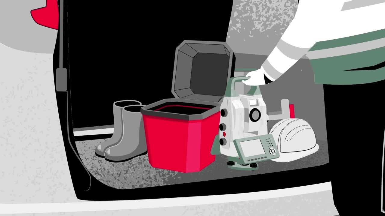
The MS60 is a versatile, adaptive instrument that provides full flexibility in the field. This is important because even with the best preparation, on-site conditions are unique and variable. A surveyor might arrive at a site to find materials stored in the planned station setup area or intended sighting lines blocked, for example, by vehicles. Other crews might be finalising their work, creating the need for coordination. Additionally, surveyors move from site to site throughout their workday, requiring equipment applicable to different measurement tasks
Combining the functions of the highest-end robotic total station for single point surveys with 3D laser scanning capabilities, the MS60 offers solutions through a range of functionalities so that surveyors are prepared for anything on a new site and across the workflow. Digital imaging from two cameras, GNSS connectivity and integration with field and office software further empower success across tasks.
This combination results in increased productivity, enabling single point measurements and the collection of area-wide surface data along with a range of onsite analysis tasks and deliverable creation directly in the field. Additionally, its versatility allows businesses to extend into more diverse project opportunities while retaining core surveying competencies, providing protection against lost contracts for projects that require 3D laser scanning technology.

What innovations were added to the MS60?
The configuration of capabilities offered in the MS60 is at the centre of its innovation. The MS60 is a self-learning, highest-end robotic total station with a 1” angular accuracy, a 2,000-metre range for distance measurements to any surface and a 10,000-metre range to a prism. Additionally, productivity features like ATRplus, Dynamic Lock and AutoHeight, work together to enhance the versatility and adaptability of the MultiStation.
ATRplus learns about the instrument’s environment and adjusts its settings to achieve the best possible measurement performance. For example, ATRplus learns the weather conditions to evaluate visibility and can determine foreign reflections, ensuring the instrument stays on its target.
Dynamic Lock searches, aims and tracks the prism, including rapid relock to a lost prism, bringing clear benefits to the surveyor on busy construction sites or in dense traffic areas where frequent line of sight interruptions occur. The MS60 also features AutoHeight, which measures instrument height quickly and precisely with a single button press, eliminating common errors of reading and entering the station height properly. Together these features offer improved consistency and accuracy and reduced setup times, allowing more points to be measured or laid out over the day.

Improvements to the scanning capabilities of the MS60 offer increased scan speeds, new scan modes for more efficient point cloud generation and on-site point cloud analysis with Leica Captivate field software apps. Through the development of new scan modes based on a spiral scan pattern, the MS60 scans while rotating 360 degrees per second, allowing you to measure 30,000 points per second. In zenith the MS60 generates a regular point spacing, optimises the point cloud with less overlapping points, enables a faster scan performance and more consistent data – real benefits when measuring a ceiling or working inside a tunnel, for example. The MS60 also offers the option to start and stop a scan on demand and repeat previous scans without redefinitions, along with the ability to transfer prior scan definitions to different jobs or even instruments to make a colleague’s work simpler too.
Furthermore, the MS60 supports theft deterrence and fleet management with Leica LOC8, a tool that uses GPS or Wi-Fi tracking to help owners understand where their assets are located. With LOC8, owners can define geofenced areas and receive alerts if their instrument is moved beyond the boundaries. In the case of theft, LOC8 enables remote locking and recovery assistance through tracking links that can be shared with police for use in their investigation.
Can you describe some application scenarios for the MS60?
While traditionally envisioned as divergent fields, the gap between surveying and construction engineering is increasingly bridged by the survey engineer who performs a wide range of measurement tasks for construction projects. The MS60 is an ideal tool for the survey engineer who is often tasked with establishing a control network, performing survey, stakeout and layout tasks, calculating volumes and creating digital terrain models (DTMs), conducting monitoring, completing as-built verifications and surface analyses and more.
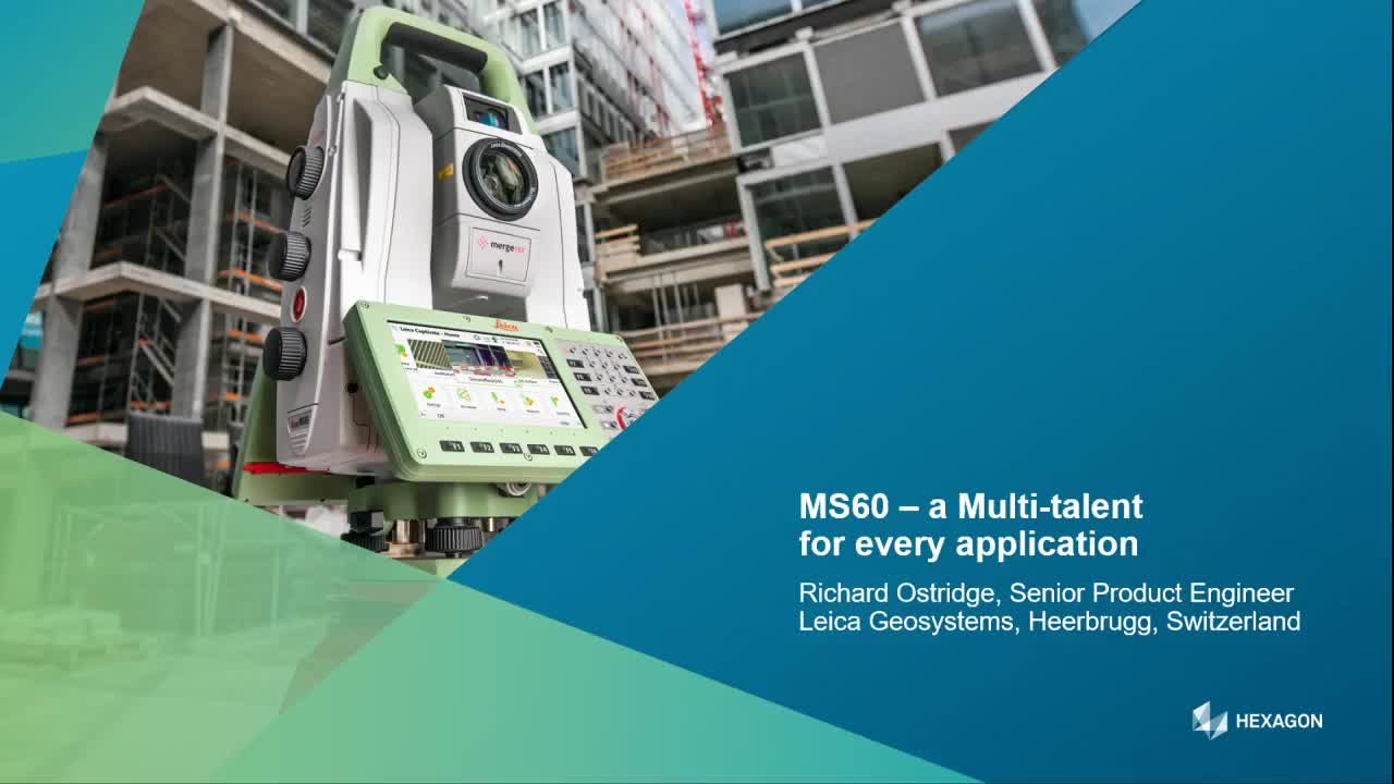
In the following video, Richard Ostridge, Senior Product Engineer, explains how the MS60, along with Captivate apps and Infinity office software, can perform the range of tasks required across the engineering surveyor’s workflow.
The MS60 collects more data to derive comprehensive information for decision making, extending to every survey-related task. For example, adding a 3D point cloud to traditional surveys creates better understanding through enhanced data, 3D visualisations and deliverables.
Additional application scenarios include measuring shotcrete application in tunnels, capturing documentation for collision investigations, monitoring railways under construction, measuring damage, checking groundwork, inspecting slopes and many more. The MS60 was even used in a theme park ride construction, showing the applications are many, varied and consistently expanding with our customers’ creativity.

Falko Henning,
Senior Product Manager
Leica Geosytems

Contact us about Total Stations
Get in contact with us for more information about our total station portfolio.
Get in contact with us for more information about our total station portfolio.