소프트웨어

리얼리티 캡처 소프트웨어 시장의 리더인 라이카지오시스템즈는 사용자가 리얼리티 캡처 데이터를 효율적이고 전문적으로 캡처, 준비, 관리 및 분석할 수 있는 제품을 선도해 왔습니다. 3D 데이터 캡처를 시작하는 순간부터 3D 모델 생성, 분석 및 고객과의 협업에 이르기까지 라이카지오시스템즈 소프트웨어는 모든 워크플로 단계에서 사용자에게 편리한 기능을 제공합니다.


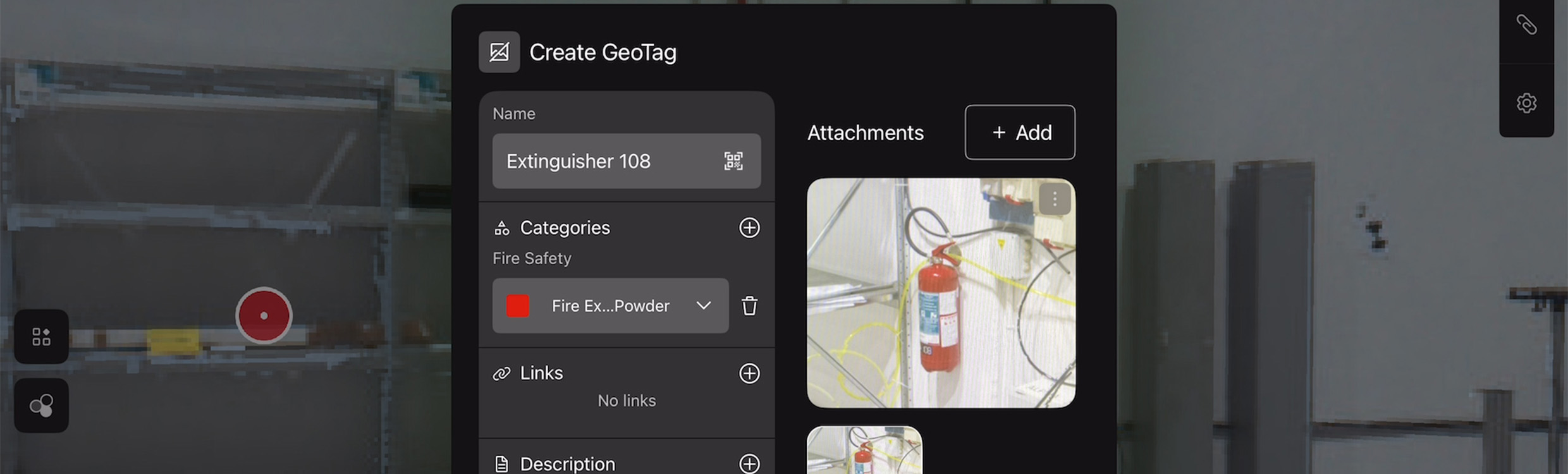
Leica Cyclone FIELD 360

Finish more in the field with Cyclone FIELD 360's real-time previews, alignment, measuring, data cleaning, and in-field deliverables you can export, share, and collaborate on in the cloud.

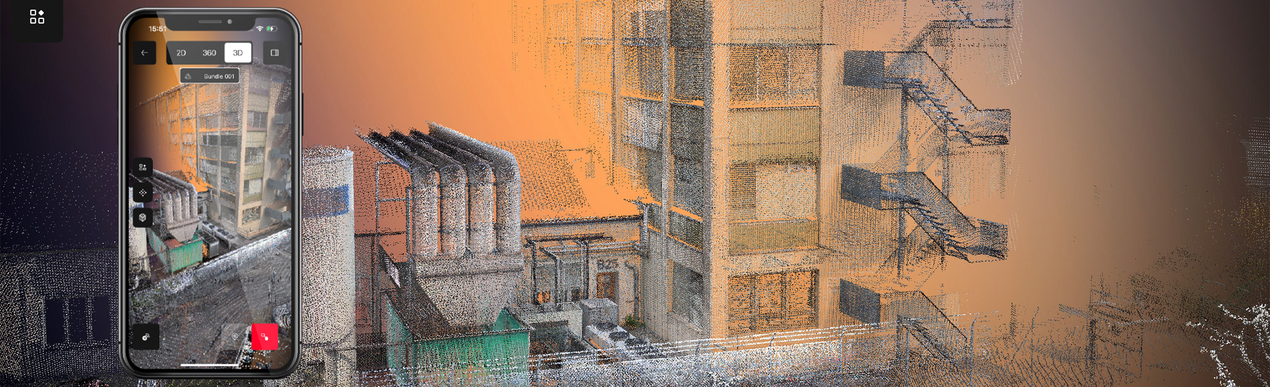
Leica BLK2FLY Live

An iPad app designed to assist surveyors in acquiring high-quality reality capture data from the air, performing in-field measurements, and managing and sharing scan data.

Office


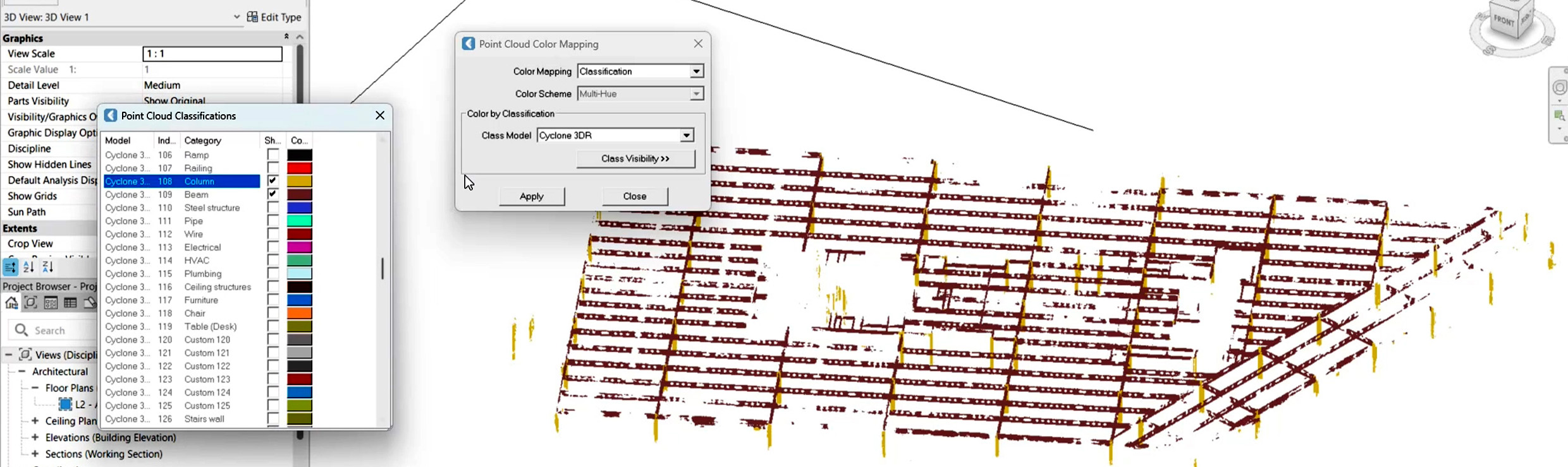
Transform field-captured data into actionable insights with laser scanning software tools to develop rich 3D models, BIM, CAD models, detailed reconstructions, and more.


Cloud


Laser Scanners


Hexagon GeoCloud

A secure, all‑in‑one cloud solution to store, visualise, analyse, and collaborate on surveying and reality capture data from anywhere.

Capture with confidence

Data capture is the foundation for your digital reality workflow and comprehensive data you can trust is crucial. Whether handheld, terrestrial, or flying, find confidence in your data foundation with our range of 3D laser scanners.


Can't find what you're looking for? Ask our experts a question.