.jpg?sc_lang=ko-kr&hash=5A380D418D403D88683EA1039550C56F)


통합솔루션
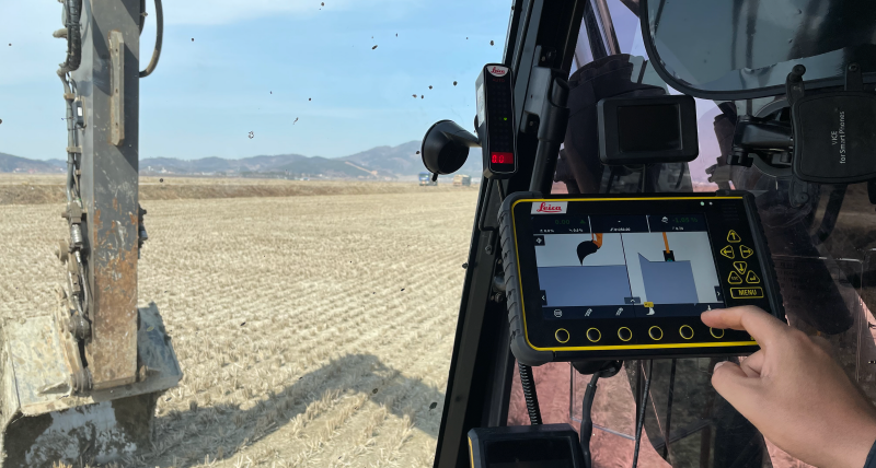
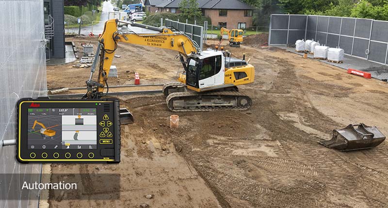
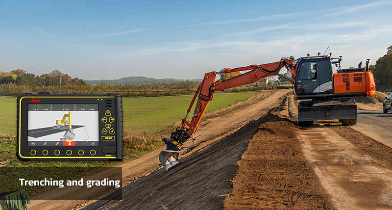
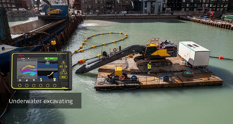
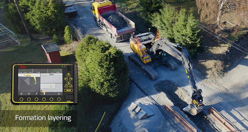
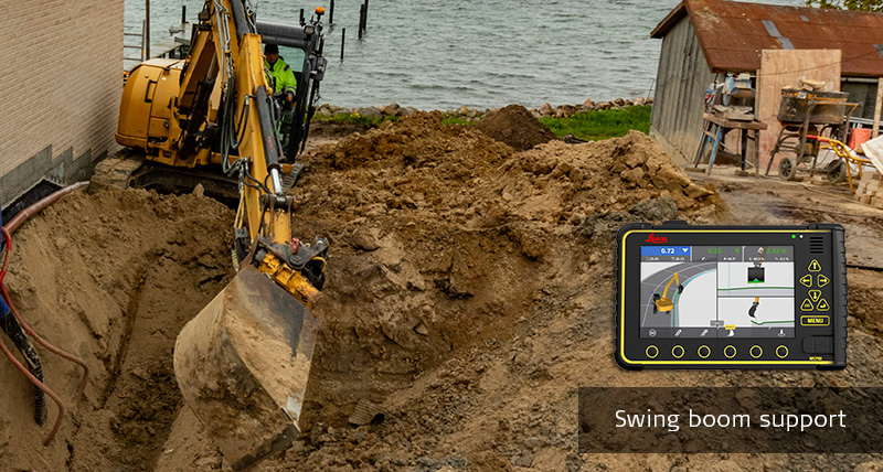
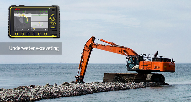
간단하고 직관적인 인터페이스를 갖춘 모든 건설장비를 위한 단 하나의 플랫폼. 작업자들은 무선 방식의패널을 장비에서 장비로 패널을 쉽게 교체 및 이동 할 수 있고, 작업자는 쉽게 작업을 시작합니다. 작업을 수행할 때 깔끔한 인터페이스와 아이콘화된 버튼을 이용하여 필요한 기능을 손쉽게 찾을 수 있습니다. 마법사 및 도움말 기능이 포함 된 보조 기술은 장비운용시 더 높은 품질과 더 적은 오류로 더 많은 작업을 수행하는 데 도움이 됩니다. 필요시에 도움말 기능을 확인하여 장비를 운용하는데 있어서 높은 정확도와 높은 품질 등을 유지하면서 작업생산성을 확보할 수 있습니다.