


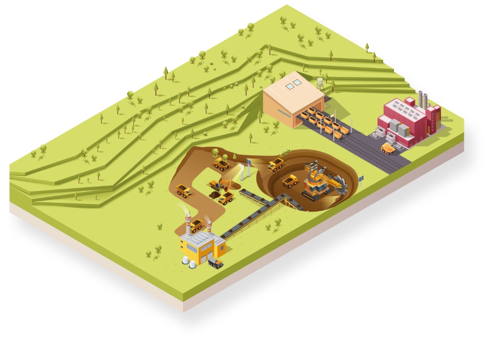
Mining
Boosting productivity by enhancing safety

When it comes to safety in mines it is not an either-or question of monitoring technologies

Accurate real-time monitoring of slope stability, waste and tailings dams, excavations, highwalls and underground work

Cutting-edge technology for the most complete portfolio of mine monitoring solutions
Leica Geosystems provides easy access to adaptable monitoring solutions that are tailored to your requirements.
Be it for real-time monitoring of slope stability, waste and tailing dams, excavations, highwalls and underground work or for subsidence or climate impact on your mine, we have the right solution for you enabling you to increase safety and productivity in your mine. With the ability to deliver a full solution, all from one reliable vendor, the HxGN GeoMonitoring hub software is developed to seamlessly combine data from all types of monitoring technology, including prism monitoring, radars and other geotechnical and environmental sensors, along with expert support and consultation. Monitor with real-time information and rely on reports generated automatically based on a customisable schedule.
“All of these instruments live up to their reputation for being extremely robust and precise instruments. Newmont is convinced there’s no better accuracy or durability on the geodetic market.”
Nana Yaw Quayson
Technical Services and Support at PDSA Ltd, authorised service partner of Leica Geosystems
Slope stability monitoring in open-pit mines
HxGN MineMonitoring is a comprehensive portfolio for monitoring in open-pit mines that integrates Hexagon monitoring technologies consisting of radar, geodetic and geotechnical sensors all aggregated into one software. Learn more about benefits of combined radar and geodetic monitoring in open pit mines.
Case Studies

Keeping a vigilant Eye
Continuous, extensive monitoring by geotechnical engineers must be done in order to keep open pit miners safe from falling rocks or collapsing walls.
Continuous, extensive monitoring by geotechnical engineers must be done in order to keep open pit miners safe from falling rocks or collapsing...

Slope Monitoring at Adaro Tutupan Coal Mine in Indonesia
Monitoring the open cut coal mining slopes.
Monitoring the open cut coal mining slopes.

Real-time Tailings Dam Monitoring
Improving safety and sustainability at mines in Brazil.
Improving safety and sustainability at mines in Brazil.

Monitoring of Excavation Slopes in an Open Pit Mine
The Polish Energy Group required a system for the automatic monitoring of slope stability.
The Polish Energy Group required a system for the automatic monitoring of slope stability.
Software Products

Leica GeoMoS
Flexible automatic deformation monitoring software solution.
Flexible automatic deformation monitoring software solution.

Leica GeoMoS Edge
Monitoring software for autonomous sensor control and uninterrupted data logging in the field.
Monitoring software for autonomous sensor control and uninterrupted data logging in the field.

Leica GeoMoS Now!
Analyse & visualise monitoring data from everywhere.
Analyse & visualise monitoring data from everywhere.

HxGN GeoMonitoring Hub
The integrated platform brining all sensor technology into one holistic view for mine monitoring
The integrated platform brining all sensor technology into one holistic view for mine monitoring

Leica GNSS Spider
The core of the continuously operating reference station network
The core of the continuously operating reference station network

Leica CrossCheck
A multi-purpose GNSS analysis tool for QC and monitoring.
A multi-purpose GNSS analysis tool for QC and monitoring.

IBIS Guardian
Monitoring for Slope Stability Risks with Powerful Software.
Monitoring for Slope Stability Risks with Powerful Software.

FPM360 TrueVector
Bringing stability and safety awareness to any mining pit
Bringing stability and safety awareness to any mining pit

IBIS Dispatch
User-friendly and intuitive alerting software for dispatchers
User-friendly and intuitive alerting software for dispatchers

Planning Tool
Defining key parameters in one intuitive interface
Defining key parameters in one intuitive interface
Hardware Products

Leica Nova TM60: Monitoring Total Station
Engineered for deformation monitoring
Engineered for deformation monitoring


Geotechnical Sensors
Automated geotechnical sensor measurement & data acquisition
Automated geotechnical sensor measurement & data acquisition

Leica ScanStation P50
The fastest and safest, long-range 3D laser scanner.
The fastest and safest, long-range 3D laser scanner.

Leica Nova MS60
The ultimate all-rounder, a scanning, self-learning total station with GNSS connectivity and digital imaging
The ultimate all-rounder, a scanning, self-learning total station with GNSS connectivity and digital imaging

Leica M-Com
Plug and play communication solutions for monitoring.
Plug and play communication solutions for monitoring.

RockSpot
RockSpot is an innovative radar system able to locate, track and alert on rockfalls, avalanches and debris flows in real time.
RockSpot is an innovative radar system able to locate, track and alert on rockfalls, avalanches and debris flows in real time.

IBIS-ArcSAR
3D SAR Radar for stunning 360° open-pit coverage
3D SAR Radar for stunning 360° open-pit coverage

IBIS-FM
Safely ahead of slope instability by reliably measuring mine movements
Safely ahead of slope instability by reliably measuring mine movements

Eagle-Vision
Visually understanding mine slope stability from a safe distance.
Visually understanding mine slope stability from a safe distance.

Hydra-U
High-resolution radar system for early warning and real time monitoring of ground fall hazards in underground mines
High-resolution radar system for early warning and real time monitoring of ground fall hazards in underground mines

Hydra-X
High-resolution radar system for early warning and real-time focus monitoring in open pits, quarries, strip coal mines and tailing dams.
High-resolution radar system for early warning and real-time focus monitoring in open pits, quarries, strip coal mines and tailing dams.
Downloads