Transforming ruins to 3D models
Case study

Author: Reka Vasszi
Heliopolis, the City of the Sun was inscribed in 1984 as an UNESCO World Heritage site. This ancient Roman city, today called Baalbek, in the Beqaa Valley in Lebanon has a complex of temples that is an outstanding example of ancient Roman architecture. The Temple of Bacchus, in the sanctuary complex of Baalbek, is among the largest, best preserved and most impressive of its kind.
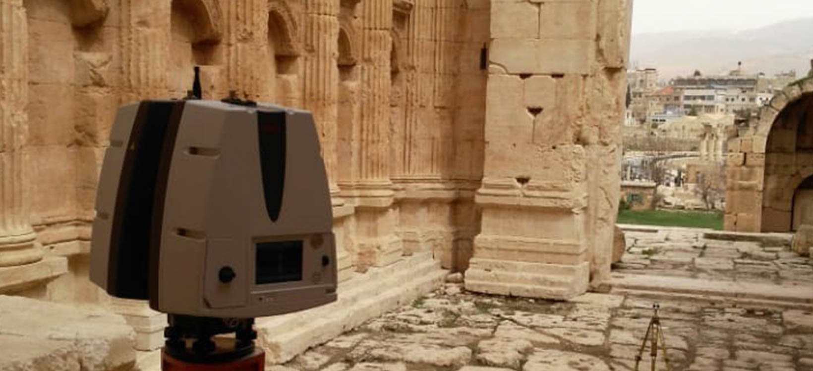
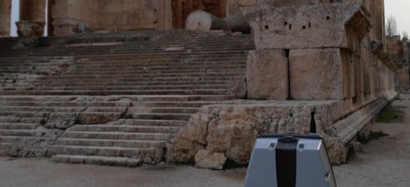
To digitally document and preserve the majesty of the Temple of Bacchus for further generations, master students of the Surveying Engineering Department at the Lebanese International University captured the temple in 3D.
“We used a new automatic digital 3D terrestrial laser scanning technique to create a 3D model of the Temple of Bacchus. Using the Leica ScanStation P30 enabled us to effectively and quickly capture the temple and develop 3D models that can be used for renovation and Virtual Reality (VR) applications,” said Professor Mohammad Abboud from the Lebanese International University.
Identifying layers of history

The Temple of Bacchus, built between 150 to 200 A.D, is the architectural manifestation of the myths and legends surrounding the god of wine, joy, drama and fertility. The Roman God Bacchus was the personification of the blessings of nature, which is gorgeously sculptured on the walls of the ancient temple.
From the 12th to 14th century, the sanctuary complex, including the Temple of Bacchus, was combined and converted into a large castle that became part of Baalbek's medieval fortification. Although subsequent layers of building helped to preserve the antique architecture, distinguishing the stages of this built-environment is a challenge. Archaeologists conduct a complex analysis with modern technology to reconstruct the ancient city and identify the different historical layers and materials that make up the ancient Roman settlement under the later medieval additions.
Despite the continuous reconstruction of the ancient city, the Temple of Bacchus suffered from theft, war and earthquakes through the centuries. An earthquake in 1759 greatly damaged the structure of the temple. Since the ancient Roman city is located in an area prone to earthquakes, it is important to monitor the structures and identify the possible movements to ensure the safety of visitors and preserve the temple.
Creating digital databases for heritage

Laser scanning conducted by surveying engineering students at Lebanese International University proved to be an accurate and effective solution to collect precise data in a limited amount of time and allowed researchers to present archaeology to the public in a unique way—through 3D models and interactive digital applications.
The team captured a point cloud using the Leica ScanStation P30. The engineering students then processed the data in the office with Leica Cyclone REGISTER 360 3D point cloud processing software to register and clean the data from which a surface mesh was extracted. The point clouds provided valuable metric data to produce a detailed 3D model of the Temple of Bacchus.
In addition to the laser scanning, to collect more detailed information, aerial photogrammetry was used to capture panoramic photos of the Temple of Bacchus and its surroundings.
With the help of geometric analysis, terrain modelling, photogrammetry, and 3D laser scanning, the traditional research methods of archaeologists and building researchers is supplemented with precise digital information.
Comparing traditional and modern technology

Traditional methods, such as GPS devices are more time-consuming and do not capture information in 3D. Traditional 2D drawings are limited in describing exact locations of geometries in a 3D space, and often present the ideal of a space, more so than the reality. Total stations are reliable and capable of collecting 3D data, however, lack the density of points to support 3D visualisation.
Reconstruction of archaeological sites, however, requires the density of data that laser scanning can provide. 3D data documentation can leverage traditional survey techniques to ensure data accuracy and accurate global positioning. This data lends itself to Building Information Modelling (BIM) and other visualisation techniques to create a complex digital database, which serves as a base for future restoration or reconstruction of the Temple of Bacchus if needed.
3D scanning the past for the future

Heritage preservation is a continuous process, that includes documentation, analysis, monitoring, restoration and protection. Our cultural heritage treasures, like the Temple of Bacchus, are fragile and vulnerable to environmental and human hazards. Digitising these majestic examples of the built environment can be used to preserve the original site as it exists today and create a digital record of the site that can be accessed long into the future.


