


Accurate single/dual slope and depth control
iCON iXE2 displays the bucket's actual position relative to design elevation and slope, allowing you to reach the design grade faster.






.jpg?sc_lang=cs-cz&hash=DA027349736A19C91746D42C83A37619)
Introducing a new dimension in reality capture and a new way of working for 3D laser scanning.

Introducing a new dimension in reality capture and a new way of working for 3D laser scanning.
The most flexible 2D excavator machine control solution

Key benefits of iCON iXE2
• High-accuracy automatic dual slope and level control
• Real time cut/fill indication on the graphic display
• No grade checking needed
• Maximize your machine utilization and return-on investment by getting right to grade the first time
• No more over excavations - dig to planned grade easily and accurately. Save material and fuel cost
• Use iCON excavate iXE2 on multiple machines in your fleet with PowerSnap for MCP80.
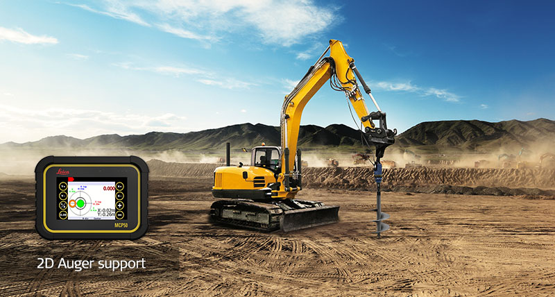
• Easy vertical positioning of an auger with the unique PowerDriller function
• Precise sculpting of edges, slopes and contours by support of tilt rotator attachments
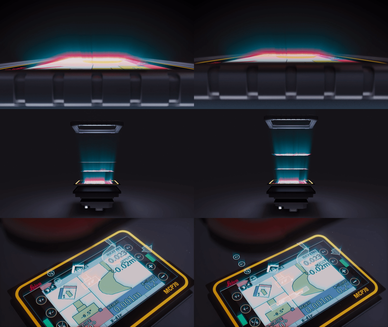
The new modern 5'' and 7'' Leica iCON MCP50 and MCP70 panels feature a very bright multi-touch screen display, providing great visibility throughout the day, night, and under every light condition. The Leica iCON iXE2 excavator software application runs inside our new Smart Junction Box - no longer directly from the panel – improving overall system performance and adding flexibility for feature solution developments.
iCON iXE2 displays the bucket's actual position relative to design elevation and slope, allowing you to reach the design grade faster.
Bezproblémové sdílení dat pomocí integrovaných řešení Leica Geosystems. Projektové soubory Leica ConX se automaticky synchronizují se softwarem Leica MC1 rypadla a s webovými softwarovými řešeními iCON. Použijte systém iCON excavate k protokolování naměřených bodů a sdílení dat s platformou Leica ConX pro výpočty postupu projektu a analýzy produktivity. Řešení iXE3 vám umožní sdílet protokolované body mezi jednotlivými stroji pro monitorování průběhu projektu a následnou kontrolu.
Společnost Leica Geosystems nabízí několik nástrojů ke zvýšení produktivity rypadel prostřednictvím automatizace stěžejních funkcí. Nová poloautomatická funkce rypadel nabízí částečnou nebo úplnou automatizaci výložníku, lopaty, sklopné lopaty nebo kyvné hlavice. Využitím poloautomatické funkce rypadla rychleji a přesněji zajistíte složité výkopové práce, jako je například formování svahů či hloubení výkopů. Další automatizační funkce (iXE CoPilot a Automatické rozpoznávání nástrojů) pomohou obsluze pracovat s nižší únavou a vyšším pracovním komfortem. Práce bude provedena přesněji – s příznivějšími provozními náklady.
Discover our complete directory of Leica Geosystems machine control assets—a central hub featuring the entire range of available resources..
Discover our complete directory of Leica Geosystems machine control assets—a central hub featuring the...


