.jpg?sc_lang=es-mx&hash=542220783FC94F5563FF5F4CD637CD54)

Nuestras últimas noticias

-
marzo, 2019
Leica Geosystems AG: Midiendo el mundo
Leica Geosystems, parte del grupo Hexagon, ha contado con el soporte de S-GE y la Cámara de Comercio Suizo Argentina para una Misión de...
22 marzo 2019 -
octubre, 2018

HxGN SmartNet, el mayor servicio de corrección GNSS, disponible en la Ciudad de México y alrededores
HxGN SmartNet, el mayor servicio de corrección GNSS en tiempo real del mundo construido sobre una red de 4.500 estaciones de referencia, llega a la...
04 octubre 2018 -
julio, 2018
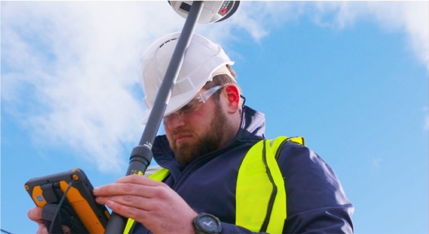
Leica Geosystems, GeoPal partner to add high accuracy to mobile operations, drive efficiency, productivity, ensure safety benefits for utility asset collection
Leica Geosystems announced its new partnership with GeoPal to support high accuracy asset data capture for utility professionals within the GeoPal...
26 julio 2018
Leica Geosystems introduces new detection solution for utility construction
Leica DD230/220 SMART utility locators and DX Shield software automatically locate, map buried utilities easier, faster, safer
17 julio 2018 -
abril, 2018

Costa Rica prueba la tecnología Leica Pegasus:Backpack para salvar vidas en caso de emergencias
Leica Pegasus:Backpack es un sistema portátil para captura de datos, que ha sido ampliamente galardonado. La herramienta cuenta con 5 cámaras y 2...
26 abril 2018
Leica Geosystems introduces latest GNSS technology smart antenna for construction
Leica Geosystems announced the new Leica iCON gps 70 T smart antenna as part of its Leica iCON gps 70 series for reliable and easy stake-out jobs...
26 abril 2018
Leica BLK360 3D scanner recognised for outstanding innovation at Irish Construction Excellence Awards
Leica Geosystems announces its BLK360 miniaturised 3D imaging laser scanner has been recognised at the Irish Construction Excellence (ICE) Awards...
05 abril 2018 -
febrero, 2018
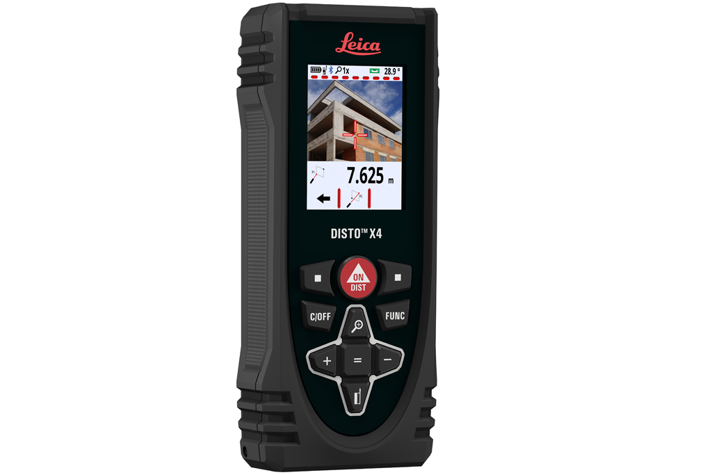
Leica Geosystems introduces new laser distance meters
Leica Geosystems announced the new Leica DISTO™ X3 and X4, the latest distance metres for construction sites.
27 febrero 2018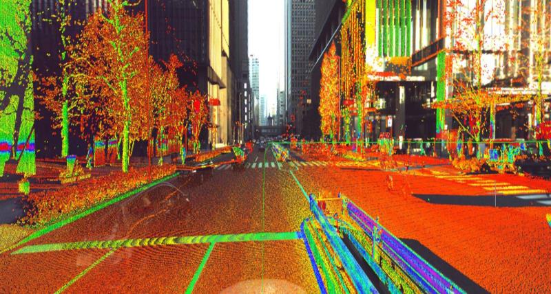
Leica Geosystems multipurpose mobile mapping platform increases Smart City applications
Leica Geosystems released the new Leica Pegasus:Two Ultimate, an upgrade to its current mobile mapping platform bringing higher quality digital...
06 febrero 2018 -
noviembre, 2017
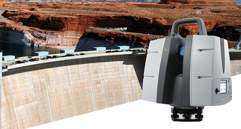
New laser scanner offers more than 1 km long range scanning capability
Leica Geosystems announced today the Leica ScanStation P50, the fastest and safest long-range 3D laser scanner, as the newest member of the 3D...
14 noviembre 2017