


.jpg?sc_lang=ko-kr&hash=5A380D418D403D88683EA1039550C56F)


고객의 측량 파트너
라이카 지오시스템즈는 유일하게 200년 동안 측량 업계에서 역사와 전통을 보유, 측량 프리미엄 품질의 측정 및 포지셔닝 솔루션과 서비스로 고객을 지원.
라이카 지오시스템즈는 유일하게 200년 동안 측량 업계에서 역사와 전통을 보유, 측량 프리미엄 품질의 측정 및 포지셔닝 솔루션과 서비스로 고객을 지원.


Land surveyors take precise measurements with specialised surveying equipment to measure objects on, above and below the Earth’s surface and have the authority to measure and establish land boundaries. The International Federation of Surveyors defines surveying as follows:
Surveyors determine the terrestrial or three-dimensional positions of points and the distances and angles between them. Geared with the right equipment, land surveyors can determine much more than property boundary lines and provide the measurements, positioning and data needed for a wide variety of services, including:
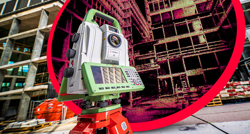
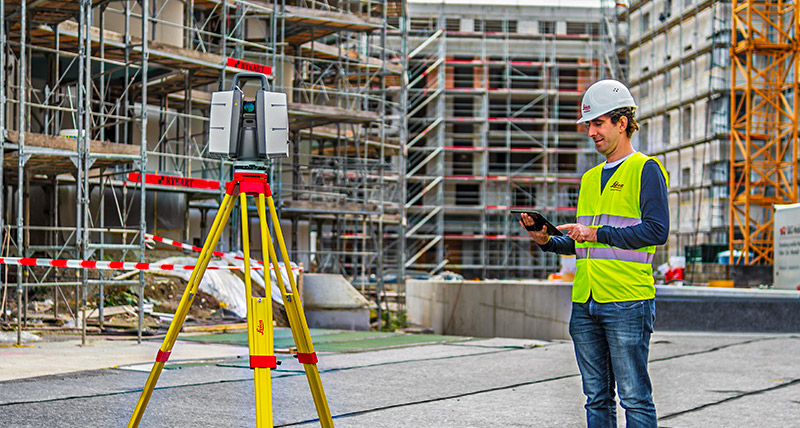
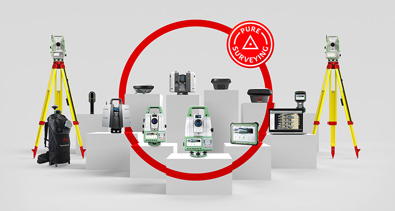
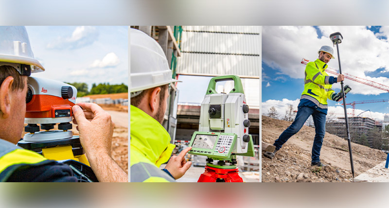
Surveyors rely on equipment and procedures that provide accurate measurements to deliver a wide range of services across many industries. The development of modern and easy-to-use surveying instruments has resulted in surveying technology being utilised by many non-surveyors in many application fields. Surveyors use equipment such as total stations, GNSS systems, 3D laser scanners, mobile mapping sensors, detection systems,digital lasers and levels, GIS collectors, and field and office surveying software to measure, create maps, 3D models and much more. Leica Geosystems leads the surveying industry with accurate instruments, sophisticated software, and trusted services, to help surveyors be faster and innovate workflows to meet clients’ needs with fewer resources and higher-quality deliverables. Leica Geosystems’ end-to-end workflow solutions help surveyors become more efficient and accurate on how they process, report and share information. Our positioning, measurement and reality capture technology can dramatically improve the way survey data is collected, processed, visualised and shared.
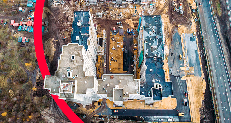
From roads to buildings, from bridges to industrial plants, and everything in between, surveying is a vital need in today’s modernised and globalised world. Besides defining legal boundaries, the planning construction and maintenance of most structures and construction require the service of a surveyor. Surveyors provide accurate measurements and up-to-date data to shape and build a better world.
To help individuals learn more about this exciting and noble profession, we created a booklet that provides information on the basics of surveying measurement, the most commonly used instruments and the most important everyday tasks employed by surveyors and other users. The booklet is divided into three sections: level measurement, total station and, surveying with GNSS satellite systems. Trainees, students, and professionals in the fields of surveying, civil engineering, architecture, and many other fields can find answers to these questions:
라이카 지오시스템즈는 유일하게 200년 동안 측량 업계에서 역사와 전통을 보유, 측량 프리미엄 품질의 측정 및 포지셔닝 솔루션과 서비스로 고객을 지원.
라이카 지오시스템즈는 유일하게 200년 동안 측량 업계에서 역사와 전통을 보유, 측량 프리미엄 품질의 측정 및 포지셔닝 솔루션과 서비스로 고객을 지원.
복잡한 작업도 얼마든지 다양한 측정, 포지셔닝, 시각화 및 협업 포트폴리오 내에서 솔루션을 사용해 성공과 효율성 향상
복잡한 작업도 얼마든지 다양한 측정, 포지셔닝, 시각화 및 협업 포트폴리오 내에서 솔루션을 사용해 성공과 효율성 향상


