Laser Scanners en Software

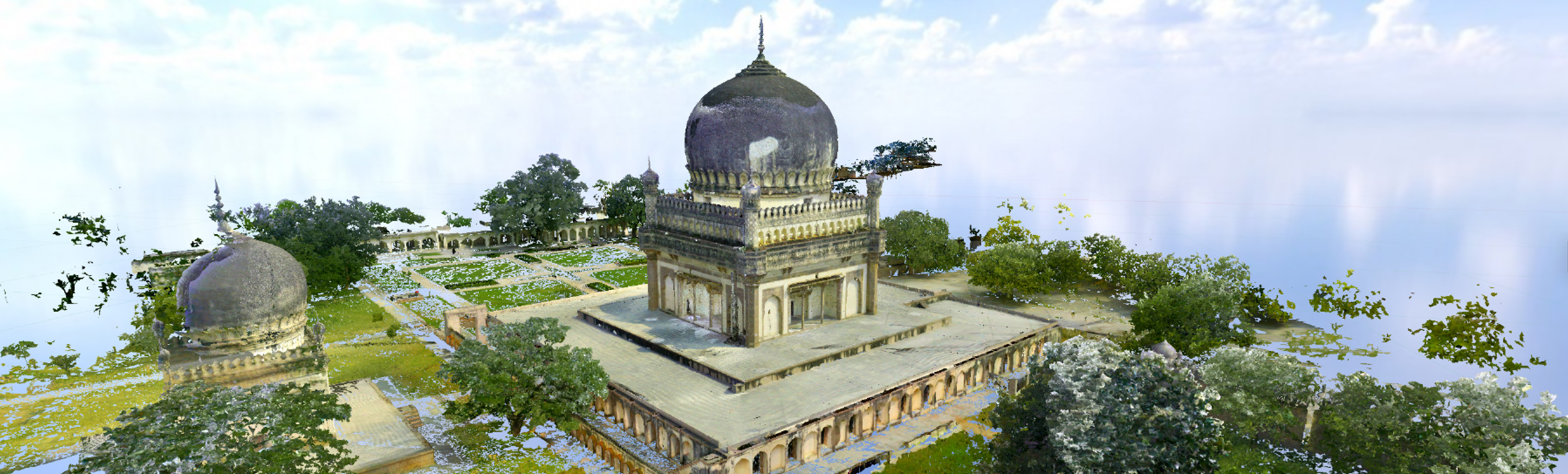
De field-office-cloud workflow herdefinieert het werken met 3D laserscanners en software. Het resultaat is een toegankelijke, datarijke en meeslepende digitale weergave van de werkelijkheid.

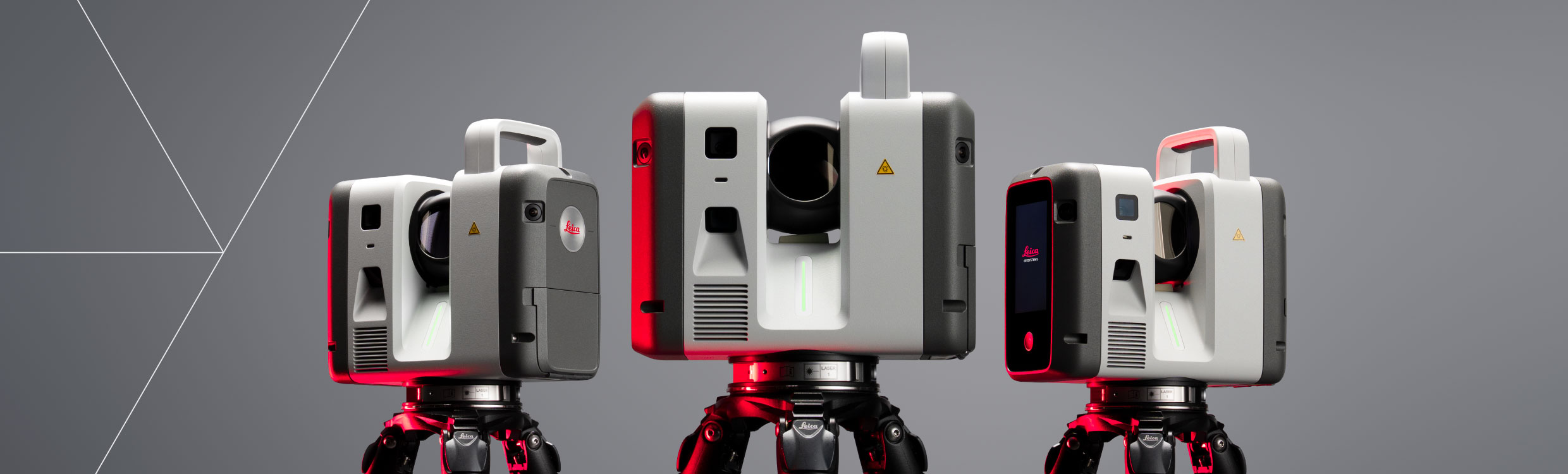
Leg in het veld de basis voor uw digitale werkelijkheid met sensoren die point cloud data vastleggen. Het portfolio varieert van uiterst nauwkeurige terrestrische laserscanners met hoge prestaties tot handheld scanners. Veldsoftware ondersteunt een efficiënte dataregistratie met directe visualisaties, controles op locatie, export van data en het onmiddellijk genereren van eindproducten. Dankzij cloudconnectiviteit is snelle gegevensuitwisseling en samenwerking tussen kantoor en veld mogelijk.

In de kantooromgeving sluit de workflow naadloos aan op toonaangevende software, waarmee point cloud data wordt omgezet naar uiteenlopende eindproducten, van 3D modellen tot BIM- en CAD-modellen. Met uitgebreide functies voor het bewerken, meten, annoteren, controleren en verrijken van data ontstaan nauwkeurige resultaten die de werkelijkheid betrouwbaar weergeven en waardevolle inzichten opleveren.

De cloud vergroot de mogelijkheden van reality capture data door de manier waarop deze wordt opgeslagen, gedeeld en gebruikt fundamenteel te verbeteren. Meer gebruikers krijgen veilig toegang tot uitgebreide datasets, terwijl wereldwijde samenwerking eenvoudiger wordt. Bovendien is het mogelijk om virtueel terug te keren naar de projectlocatie met interactieve site visits en flythroughs, zodat u datarijke omgevingen opnieuw kunt beleven en analyseren.

Field

Capture point clouds and high-resolution imagery inside and outdoors with handheld, flying, and terrestrial laser scanners. Visualise data in real-time, pre-register scans, add GeoTags, create floor plans and validate specs—all from the field.
Capture point clouds and high-resolution imagery inside and outdoors with handheld, flying, and terrestrial laser scanners. Visualise data in real-time, pre-register scans, add GeoTags, create floor plans and validate...

Cloud

Cloud services keep you connected and ready to collaborate across the workflow, bringing accessibility, automation, and visualisations to everyone. From data transfer to visual immersion, the cloud moves digital reality beyond barriers.
Cloud services keep you connected and ready to collaborate across the workflow, bringing accessibility, automation, and visualisations to everyone. From data transfer to visual immersion, the cloud moves digital reality beyond...

Office

Create 3D models, BIM, and CAD models with laser scanning software tailored to a range of applications. Blending ease of use with high-level customisation, build accurate digital reality deliverables.

Laser Scanners

From highest accuracy to ultimate flexibility and mobility, find confidence in your data foundation with our range of 3D laser scanners.

Software

Our comprehensive laser scanning software offers various solutions to capture, prepare, manage, analyse, and visualise 3D data, streamlining workflows from the field to the office and beyond.

Accessories

Whatever accessory you require for a job, from targets and mounts to power supplies and tripods, select from a range of Leica Geosystems original accessories.


Can't find what you're looking for? Ask our experts a question.