


Top 3 ways surveying software secures a seamless fit for laser scanning
Blog post
Author: Monika Bodziak – September 2022
Laser scanning has allowed surveying service providers to integrate highly sought-after 3D reality capture deliverables into their portfolios. However, adding this technology to the survey toolbox enables much more than scanning as a standalone service. In fact, it can enhance the reliability of survey data across measurement tasks and survey services.
When data from numerous measurement sensors is processed together, you can achieve a high level of accuracy that gets as close as possible to reality. More sensors enable comprehensive data acquisition for complex projects and enhanced visualisations that make project management and deliverable creation easier.
Traditionally, processing data from different sensors required a range of software, making it cumbersome and creating reluctance to introduce new sensors that would complicate existing workflows. However, surveyors can now solve this problem by using an all-in-one surveying software that directly processes data from all the measurement instruments in their toolbox.
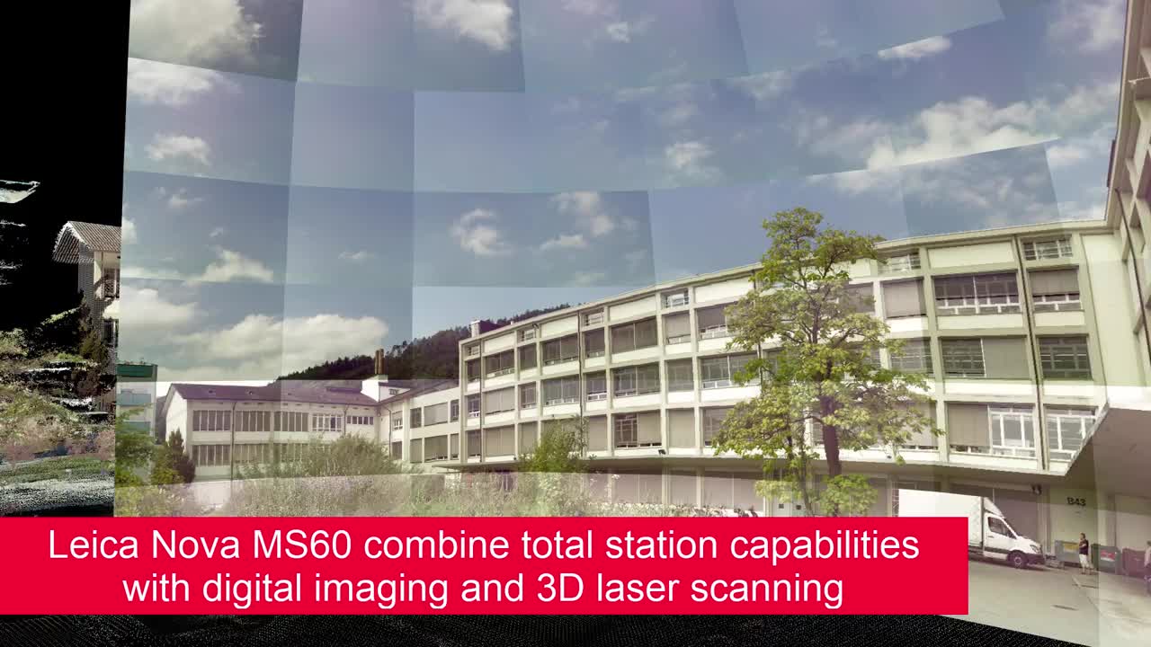
Leica Geosystems surveying office software, Leica Infinity, has long provided central data processing for Leica survey measurement tools, including total stations, levels, GNSS and UAV images. With the recent release of Infinity 4.0, laser scanning is now part of that comprehensive list.
Integrating scan data into your existing workflow with Infinity is easier than you might think and brings a range of benefits, including simplified registration and alignment, seamless data merging and complete visualisations.
Read on to learn the top three ways Leica’s surveying office software enables you to process and connect your scan data within existing survey workflows:
 Image 1: Imported scanning data in the register tool
1. Simplify the registration process
With Leica Infinity 4.0, you benefit from import and registration scan setups along with common registration methods. Supporting the direct import of terrestrial laser scanning data from Leica BLK360 and Leica RTC360 3D laser scanners, Infinity allows up to 100 scan setups per project. This ultimately helps the registration process, in which different scans are matched and aligned with one another to create a single data set or point cloud.
For example, a range of automated extraction and registration methods make it easy to process, georeference and align scan data. This includes features like automated scan alignment during data import to simplify registration in the project, along with a dedicated tool enabling users to visually align scans together.
 Image 2: Register tool - visual alignment
To more accurately align and place scans within the correct coordinate system, surveyors often use Black & White sphere or checkerboard targets during scanning. Infinity enables automated target extraction with Black & White targets and extracted targets can then be georeferenced and matched to other survey data.
With tools to automate and make these initial processing steps easier, scan data quickly becomes ready to incorporate into the rest of your survey workstream.
2. Combine scan data with existing survey workflows and keep all data in one place
Infinity enables you to combine data from all your survey measurement instruments, keeping you connected to the project overview and providing more accurate results.
Combining the data in one project makes it easier to link and use control points without having to import target coordinates as a separate file format, as is the case when using an external software to process your scan data. With control points from TPS and GNSS measurements, you can match the scanning target with correct coordinates during registration.
Additionally, since Infinity stores all of a project’s measurement data, scan data can be quickly reprocessed with the new coordinates any time points are updated. This makes it easier to keep the entire project up to date, increases control and improves project oversight.
 Image 3: From the register tool – assigning controls to targets
Video 1: Short video of the combined solution
3. Use the unified point cloud in Infinity applications to create high-value deliverables
In addition to time-saving data processing benefits, Infinity creates a unified point cloud that enables you to see all your data in one view, combine work, and finalise your data faster and with greater confidence.
During registration all scans from a project are combined and aligned to form a single, optimised point cloud called the unified point cloud (UPC). Once the scan data is georeferenced and the UPC is stored, it can be visualised along with point clouds from UAV and Leica GS18 I image data, as well as any other point cloud data, measurements or linework imported into the project.
 Image 4: Surface or comparison map
With a comprehensive visualisation of all data in one place, you are ready to create high-value, accessible deliverables. The UPC can be used in multiple Infinity applications to compute surfaces, create comparison and cut fill maps, extract features such as lines or points as road edges or curbs and more.
Finally, the UPC is easily exported in multiple point cloud formats, ensuring your deliverables fit all of your customers’ needs and enabling direct export into Leica Geosystems reality capture workflows.