

TILT COMPENSATION UPGRADE
Whenever you need the efficiency and safety improvements gained from tilted measurements, upgrade your GS18 to a tilt compensating rover. Any Leica Geosystems service can do the upgrade at any time.







.jpg?sc_lang=pt-pt&hash=33A67495A9C66AEACDDCDEF18738C539)
Introducing a new dimension in reality capture and a new way of working for 3D laser scanning.

Introducing a new dimension in reality capture and a new way of working for 3D laser scanning.
A antena GNSS inteligente que cresce com a sua empresa

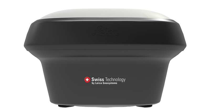
A Leica GS18 é uma antena GNSS inteligente com capacidade de aprendizagem automática. A GS18 herda todas as funcionalidades da Leica GS18 T exceto a compensação de inclinação. No entanto, a GS18 consegue crescer com a sua empresa: atualize-a em qualquer altura para um sistema com compensação de inclinação.
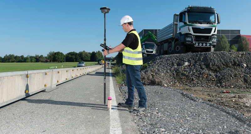
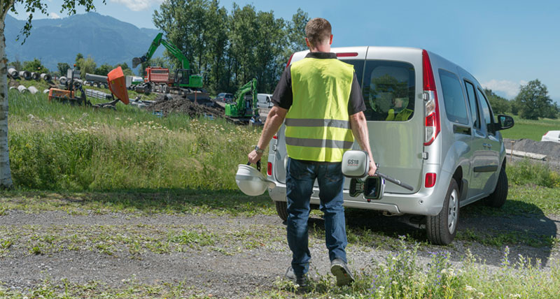
A GS18 é uma excelente ferramenta para um topógrafo que trabalhe principalmente com rede RTK, como a HxGN SmartNet. À semelhança da maioria das antenas GNSS inteligentes da Leica Geosystems, a GS18 funciona como móvel e referência.
The Leica Captivate field software is the perfect companion for the GS18. With easy-to-use apps, all measured and design data can be viewed and used, providing you with a clear understanding of your data in 2D and 3D view. Captivate spans industries and applications with little more than a simple tap, regardless of whether you work with GNSS, total stations or both.
Tracking multi-frequency signals comes as a standard to all Leica Geosystems GS sensors. Combined with an excellent GNSS antenna element and a position update rate of 20 Hz, the GS18 ensures reliable measurement quality.
Data sheet
Leica GS18 GNSS RTK rover data sheet
Compare GNSS solutions
GNSS comparison chart
Articles
Improved high-precision RTK positioning through multipath reduction and interference mitigation (as published in Proceedings FIG Congress 2022)
Assessing the benefits of Galileo to high-precision GNSS positioning – RTK, PPP and post-processing (as published in Advances in Space Research, 2020)


