


A Message from the President
"With more than half of the world’s population now living in cities, construction is on the rise across the globe."


.jpg?sc_lang=de-at&hash=6E366B58BEB577007EE90BA21C9BC69A)
A new dimension in reality capture. Neue Maßstäbe für das 3D-Laserscanning.
May 2016
A Message from the President
With more than half of the world’s population now living in cities, construction is on the rise across the globe. From housing to commercial buildings to building service facilities supporting growing communities, the construction industry is on a significant upswing.
Today more and more developers rely on digital blueprints to construct tomorrow’s structures. Project Surveyors in Australia used Leica Geosystems 3D laser scanning technology to capture and model a major shopping centre for an international retail group, increasing the firm’s productivity by more than 50 percent. In Switzerland, Grunder Ingenieure AG employed Leica Geosystems mobile mapping solution Pegasus:Two to capture the entire infrastructure of the Gotthard Base Tunnel, one of the world’s longest traffic tunnels, conducting the as-built survey quicker, safer and more efficiently.
Reliable and safe transportation is important for a community’s sustainability. Strukton, as part of an international consortium, is constructing the first public transportation system in the capital city of Saudi Arabia with an array of our precision measurement solutions. Sefiani Enterprises in Morocco is using Leica Geosystems machine control system to provide a smooth ride on the country’s newest high-speed rail line, seeing savings of more than 15,000 Euros per day on the project.
On this construction journey, I’m glad we are able to support those who are shaping this onward surge of construction. Enjoy your read.
Juergen Dold
President, Hexagon Geosystems
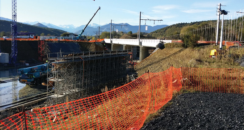
Using Leica TS15 to help move the tracks of a railway bridge right on schedule.
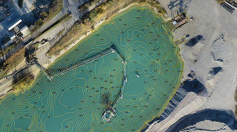
Calculating material volume and modelling quarries using the Aibotix Aibot X6.
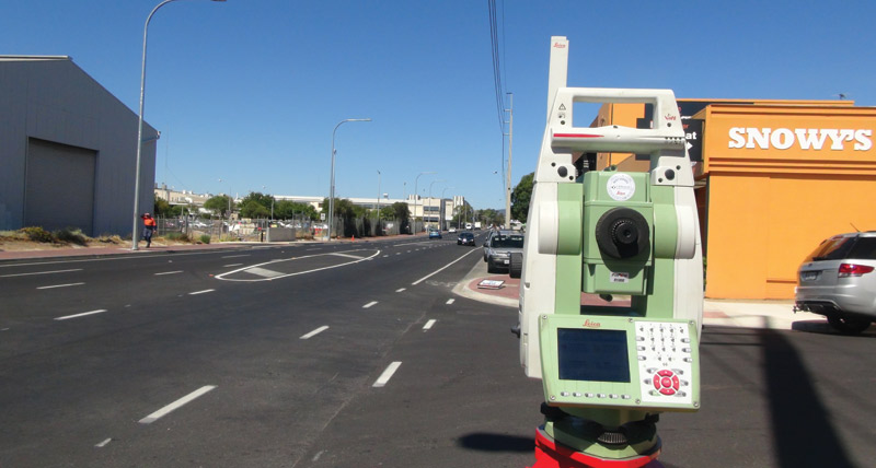
Understanding how new design fits into existing structures with Leica Captivate software.
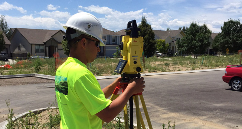
Efficiently establishing control points and item positions with Leica iCON products.
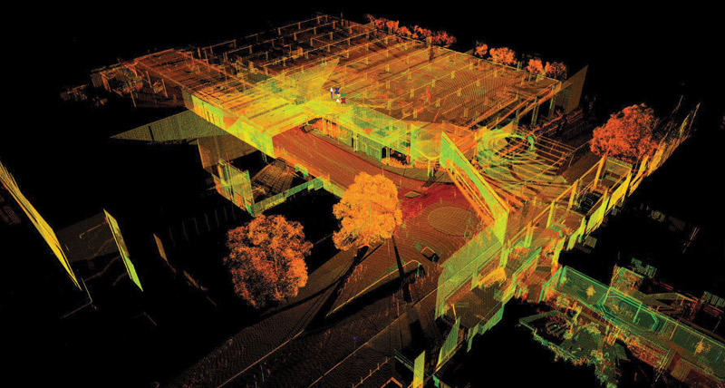
Creating a survey-accurate Revit model for a large shopping centre using Leica Geosystems ScanStations.

As-built infrastructure documentation of the world's longest tunnel with the Leica Pegasus:Two.

Controlling complex issues of an ore mine using Hexagon Mining Fleet Management.
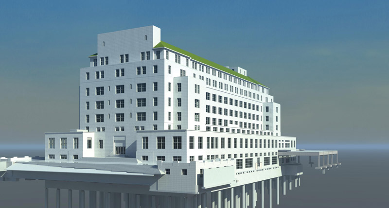
Leica Geosystems experts explain the ever-popular concept of BIM.

Paving Morocco's roads with Leica Geosystems machine control perfection.
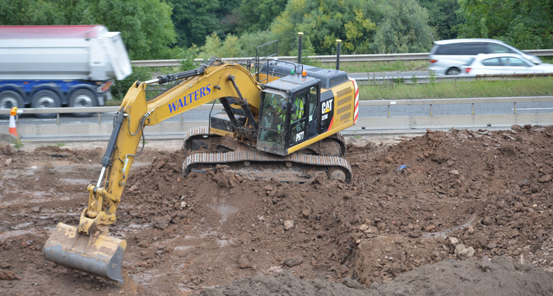
Quickly and safely constructing a UK road using Leica Geosystems GNSS solutions.
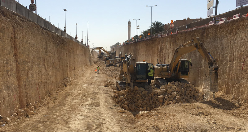
Leica Geosystems solutions help build one of the largest infrastructure sites in the world.
