

Live view guidance
Set out design points faster with visual guidance. Live View shows design points overlaid on live imagery from the camera, guiding users directly to stakeout locations.


.jpg?sc_lang=en-gb&hash=C2BAAC69389A909D349812C9A92E3FCD)
Introducing a new dimension in reality capture and a new way of working for 3D laser scanning.

Introducing a new dimension in reality capture and a new way of working for 3D laser scanning.
Dependable GNSS performance, enhanced by visual workflows


Set out design points faster with visual guidance. Live View shows design points overlaid on live imagery from the camera, guiding users directly to stakeout locations.

Create clear records of completed work. View captured measurements in their real-world context to support reporting, progress tracking and project handover.

Visual workflows allow you to verify grades, earthworks progress, and machine-controlled work to identify issues early and reduce rework.

Measure stockpiles and excavations quickly and efficiently with tilt compensation. Calculate volumes directly on site for better planning and project control.

Capture hard to reach and inaccessible points safely and efficiently with image and laser-based measurements.
Dependable Leica GNSS positioning is the foundation of the Leica iCG11, delivering the accuracy and performance construction professionals rely on every day. Integrated cameras add visual workflows, extending the capabilities of GNSS with intuitive, image-assisted field work.
Live View stakeout helps users navigate directly to design points, while tilt compensation, image-based measurements, and integrated laser measurements simplify work, especially in difficult-to-reach locations. Measurements can be viewed in their real-world context, helping users verify work before leaving site, identify issues earlier, and reduce rework.
Whether used as a rover, base station, or vehicle-mounted receiver, the iCG11 helps improve productivity, and deliver dependable results with no compromise on accuracy.
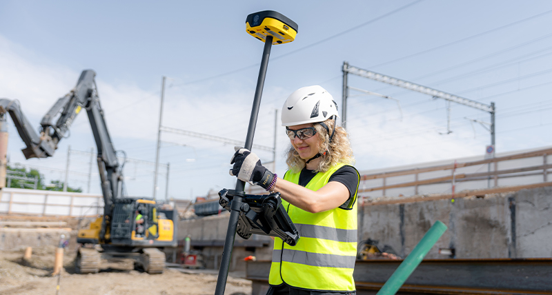
Whether you're expanding your Leica iCON fleet or adopting the iCON solution for the first time, the iCG11 makes it easy to equip more crews with dependable GNSS technology.
Integrated with Leica iCON site and build software, it provides intuitive, construction-focused workflows that help users become productive quickly, regardless of experience. Shared software, project data, and processes create a connected experience across GNSS and total stations, helping teams work from the same information and maintain consistent workflows.
Through shared project data with Leica MC1 via Leica ConX, foremen with the iCG11 can also independently check grades and verify machine-controlled work against the same design files used on machine control-equipped dozers and excavators.
As projects grow, contractors can scale their operations while maintaining the trusted Leica iCON user experience, workflows, and project data across the jobsite.
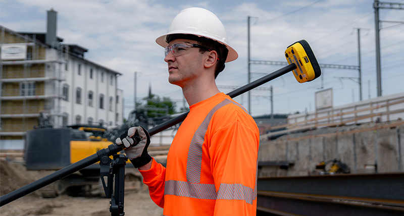
Leica iCON iCG11 helps field crews work more efficiently alongside machine-controlled operations. While the iCG11 is not a machine control GNSS antenna, it enables contractors to stake out designs, check grades, perform quality checks, and verify completed machine-control work independently on site.
Through shared project data with Leica MC1 via Leica ConX or Hexagon GeoCloud, field crews and machine operators can work from the same design model. This helps maintain workflow continuity between machine control and field operations, keeping teams aligned on the latest project information and reducing the risk of rework.


