Bâtiments et structures

Précision garantie lorsqu’elle est le plus nécessaire


Leica Geosystems provides easy access to adaptable monitoring solutions that are tailored to your requirements.

Be it monitoring for impact to buildings caused by construction of new underground infrastructure like metro lines or tunnels below dense city centres, for aging infrastructure, ground instability or the verticality of high-rise building projects, we have the right solution for you. With the ability to deliver full solutions, all from one reliable vendor, we provide software that is developed to work seamlessly with in-house, high-end sensors, like total stations and GNSS, as well as other 3rd party geotechnical and environmental sensors, along with expert support and consultation. Monitor with real-time information and rely on reports generated automatically based on a customisable schedule.

“For a large global manufacturer, Leica Geosystems has shown great flexibility, for example in reacting rapidly to our ideas on how to customise software routines and to solve new local challenges on site. This kind of support is critical to deliver the most suitable solution and give the client the comfort to only deal with one service partner for all his survey, BIM and monitoring requirements.“

Andrew Masters,
Technical Manager at Murphy Surveys

Sub-segments

Urban Areas

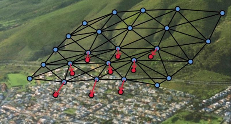
Les villes ont grandi et évolué pendant des milliers d'années, mais aujourd'hui plus que jamais, la vitesse du développement urbain exige une plus grande prise en compte de la sécurité.

Monitoring for construction sites

The construction industry continues to evolve, with a focus on sustainability, efficiency, and lean construction methods. Increasing regulatory demands create continued pressure to manage safety, production and cost requirements.

Monitoring for preservation of heritage structures

Our historic buildings, heritage structures and ancient landmarks are treasured both culturally and architecturally. Their preservation is important. Read more about the complete solution for monitoring of historic buildings, structures and landmarks.
Case Studies

Precise Positioning in London’s Sky

Leica Geosystems developed a procedure, using GNSS observations combined with tiltmeters

Locating the floors of America’s tallest residential building

Deploying a GPS solution to locate the layout of Central Park Tower‘s floors

Monitoring the structural health of hangars

Monitoring the Royal Canadian Air Force Warren Truss Hangars’ wooden structure

Combining Geotechnical & Geodetic Data

Cities are evolving entities that need to adapt
Cities are evolving entities...
Software Products

Leica GeoMoS

Solution flexible et automatique pour la surveillance de déformations.

Leica GeoMoS Edge

Logiciel d'auscultation pour le pilotage autonome des capteurs et l'enregistrement en continu des données sur le terrain.

Leica GeoMoS Now!

Analyse & visualise monitoring data from everywhere.

Leica GNSS Spider

The core of the continuously operating reference station network

Leica GeoMoS Adjustment

Automatic adjustment and deformation analysis for monitoring.

Leica CrossCheck

A multi-purpose GNSS analysis tool for QC and monitoring.
Hardware Products

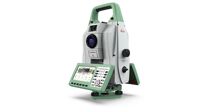
Leica Nova TM60

La station totale automatique Leica Nova TM60 est robuste, précise et attrayante pour vos projets de surveillance.

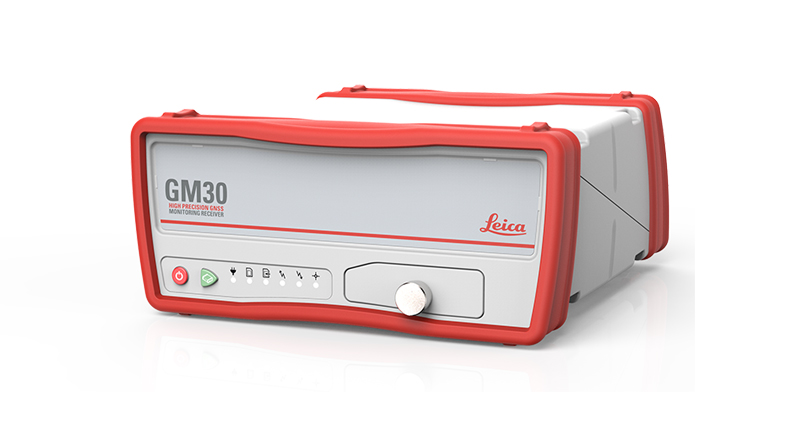
Leica GM30

Capteur GNSS d'auscultation tout-en-un

Capteurs géotechniques

Mesure automatisée par capteurs géotechniques connectés et acquisition de données

Leica ScanStation P50

Laser scanner 3D longue portée, le plus rapide et le plus sûr

Leica Nova MS60

Un instrument unique adapté à toutes vos tâches de levé, combinant une fusion des capteurs à un niveau jamais égalé.

Leica M-Com

Solutions de communication pour les systèmes d'auscultations permanentes

HYDRA-G

High-resolution radar system for early warning and real-time monitoring of buildings, dams, tunnels, mining infrastructures, and cut-slopes

IBIS-FS

Remote static and dynamic monitoring
Downloads


Got questions? We've got the answers!

Let us support you