Infrastructures énergétiques

Solutions fiables pour une efficacité maximale

Leica Geosystems provides easy access to adaptable monitoring solutions that are tailored to your requirements.

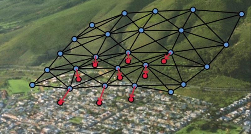
Be it for monitoring of infrastructure (e.g. dams, pipelines, oil platforms) to reduce risk caused by structural stress related to aging effects or damage from natural hazards, nearby construction, subsidence or utility networks, we have the right solution for you. With the ability to provide a full solution, all from one reliable vendor, we provide software that is developed to work seamlessly with in-house, high-end sensors, like total stations and GNSS, as well as other 3rd party geotechnical and environmental sensors, along with expert support and consultation. Monitor with real-time information and rely on reports generated automatically based on a customisable schedule.

“We recommended Leica GeoMoS and total stations because we’ve used them in many other projects around the country with excellent results.”

Richard Ingham,
C.R., State Manager at Kennedy Survey Division New South Wales, Australia

Sub-segments
Case Studies

Designing a Dam Monitoring System

East Bay Municipal Utility District (EBMUD) had the technology in place to monitor crest elevations at these dams and dikes remotely with improved temporal resolution.

Safety on the High Seas

Lukoil’s directors initiate geodynamic monitoring systems on a maritime, ice-resistant platform to ensure safe operation and to protect workers from unexpected occurrences on the high seas.
Lukoil’s directors initiate geodynamic monitoring systems on a maritime, ice-resistant platform to ensure safe operation and to protect workers from unexpected occurrences...

Chemical Plant Monitoring

the stability of the pipes related to their absolute as-built positions in the plant are monitored in real-time with very close human supervision of the gathered results.

Concrete Dam Monitoring in Montereale Valcellina

Automatic and continuous monitoring of the Ravedis mass gravity concrete dam.
Software Products

Leica GeoMoS

Solution flexible et automatique pour la surveillance de déformations.

Leica GeoMoS Edge

Logiciel d'auscultation pour le pilotage autonome des capteurs et l'enregistrement en continu des données sur le terrain.

Leica GeoMoS Now!

Analyse & visualise monitoring data from everywhere.

Leica GNSS Spider

The core of the continuously operating reference station network

Leica GeoMoS Adjustment

Automatic adjustment and deformation analysis for monitoring.

Leica CrossCheck

A multi-purpose GNSS analysis tool for QC and monitoring.
Hardware Products

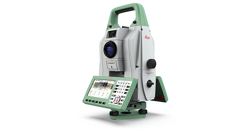
Leica Nova TM60

La station totale automatique Leica Nova TM60 est robuste, précise et attrayante pour vos projets de surveillance.

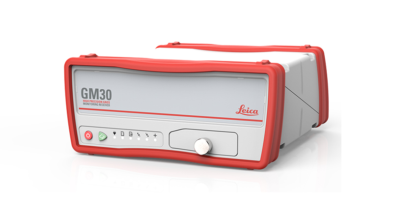
Leica GM30

Capteur GNSS d'auscultation tout-en-un

Capteurs géotechniques

Mesure automatisée par capteurs géotechniques connectés et acquisition de données

Leica ScanStation P50

Laser scanner 3D longue portée, le plus rapide et le plus sûr

Leica Nova MS60

Un instrument unique adapté à toutes vos tâches de levé, combinant une fusion des capteurs à un niveau jamais égalé.

Leica M-Com

Solutions de communication pour les systèmes d'auscultations permanentes

MyMo

Making Structural Monitoring faster to deploy and easier to scale.

IBIS-FM EVO

The Evolution of the groundbreaking radar that introduced ground-based monitoring radars as performant, reliable and versatile. 
Downloads


Got questions? We've got the answers!

Let us support you