Introducing the Leica RTC360 - An efficient 3D reality capture solution combining a high-performance laser scanner and mobile-device app to automatically pre-register scans in the field.
Leica Nova MS60 MultiStation - For all your measurement tasks
The ultimate all-rounder, combining total station functionality with 3D laser scanning, GNSS connectivity and digital imaging
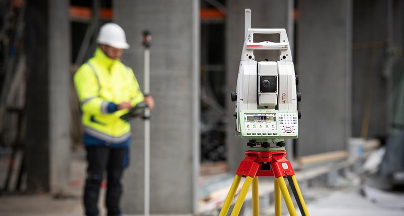
The new version of Leica Nova MS60, the world’s first MultiStation, enables you to perform all surveying tasks with one instrument. It brings sensor fusion to the next level by combining:
Highest-end total station capabilities
3D laser scanning, enabling you to scan up to 30’000 points per second
GNSS connectivity
Digital imaging
The MS60 comes with Leica Captivate, an onboard software with easy-to-use apps that cover all your surveying tasks. To make your work even more productive, you can benefit from the MS60’s Dynamic Lockfeature as well as the newly added, revolutionary setup assistant feature,Autoheight Feature - which helps you setup even faster and more accurately with the simple press of a button.
When to use the Leica Nova MS60:
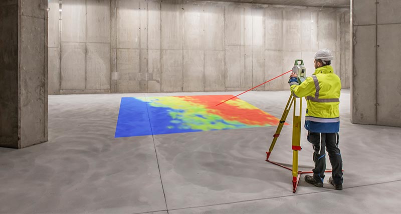
Surfaces and volumes in construction and mining: spoil heaps and stock piles, DTM creation and checking surfaces, material thickness, blast faces and ground levels
Analysis of complex structures and objects within plant, marine and utility projects: dimensional control, as-built and record keeping
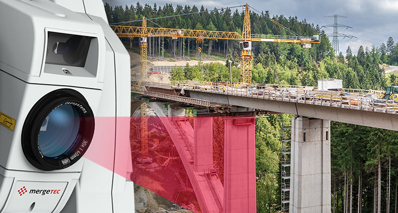
Measuring buildings and structures: bridge condition/clearance analysis, BIM and as-built
Façade, elevations and heritage work: creation of traditional façade deliverables, 3D models and photographic documentation
Traditional topographic surveys for surveying and mapping: creation of traditional deliverables like 2D maps or 3D models
Monitoring measurement and analysis of ground and structures: real-time or periodic measurement of bridges, dams, buildings and earth, ice and snow
Discover how you can benefit from our Leica Captivate Inspect Surface app:
See what our customer has to say about tying the MS60 into a perfect workflow:
Highest-end total station
Highly accurate angle and distance measurements, long-lasting design and easy-to-use apps are key elements of modern total stations, fully embodied in the MS60. With improved automation functionalities using ATRplus, the MultiStation increases your efficiency, even under challenging environmental conditions.
3D laser scanning
Scan with up to 30.000 points per second (Hz): complete your scans fast and get dense scanning grids. The MS60 features optimised scanning paths, now including zenith scans, allowing you to significantly reduce the total scanning time. Learn how to advance your automated monitoring workflows with 3D laser scanning.
GNSS connectivity
GNSS is fully integrated in the workflow and the data structure, enabling direct georeferencing. SmartStation and SmartPole setups increase your flexibility in the field.
Digital Imaging
Enhanced digital imaging technology, including an overview and a 30x magnifying telescope camera, enables accurate image assisted surveying both at the instrument and remotely - while also including extended image documentation.
You can customize your MultiStation to meet your needs with:
Leica Infinity: a user-friendly geospatial office software suite for the measurement professional; the perfect tool to manage, process, analyse and quality check field survey measure data
Leica GeoMoS: the automated deformation monitoring software
Leica Cloudworx: CAD plugins that allow you to work efficiently with large point clouds directly inside your chosen CAD system
Various Hexagon software packages and selected partner software
For a more carefree experience when using your MS60, take advantage of Leica Geosystems’ Active Customer Care. Our global network of experienced professionals is only a click away to assist you with any questions. In addition, you can control your costs with a tailored Customer Care Package (CCP),giving you the peace of mind of being covered anywhere, anytime.
While MS60 technology has progressed since these cases first came out, they continue to inspire with what MultiStation technology can achieve on outstanding projects.
Pelajari solusi survei baru dari kami untuk mengembangkan bisnis Anda serta pelatihan untuk meningkatkan kemampuan diri atau tim Anda, sekedar untuk mengetahui kabar terbaru. Kunjungi situs industri baru kami.
Pelajari solusi survei baru dari kami untuk mengembangkan bisnis Anda serta pelatihan untuk meningkatkan kemampuan diri atau tim Anda, sekedar untuk mengetahui kabar...
Protect your total station: always know where your instrument is in the field. Discover the benefits of remotely locking your total station, learn about Geo Fences and more.
Protect your total station: always know where your instrument is in the field. Discover the benefits of remotely locking your total station, learn about Geo Fences and more.