




Building a legacy
“Dad started with a Wild theodolite, so we’ve always had a trust in Wild and now Leica Geosystems instruments—they’re bulletproof. So I trusted this receiver to be as fast as advertised, and I knew that speed would pay off for us.”


.jpg?sc_lang=it-it&hash=80C16103E096FE5BE2A695180BF17042)
Presentazione della nuova dimensione della reality capture e di un nuovo modo di lavorare per la scansione laser 3D.
Whether designing, constructing or maintaining an asset, our surveying solutions ensure safety, help you be faster, collaborate in the cloud, digitalise workflows and deliver the most accurate geospatial data.

From the longest and deepest tunnel to the highest building, the world’s most iconic engineering masterpieces have benefitted from Leica Geosystems technologies. Our 200 years of passion for surveying demonstrate our ability to deliver precise and accurate equipment, sophisticated software and trusted services to those constructing the world's infrastructure.
Our legacy for accuracy and innovation, paired with intimate industry understanding, provides solutions that empower engineering surveyors to deliver projects on time and on budget, whilst ensuring maximum safety and reducing waste. Our complete portfolio of surveying solutions, machine control systems and construction positioning solutions help to build the world around us, providing accurate data that is digitally managed and efficiently shared.
When purchasing Leica Geosystems equipment, you save time, reduce operational costs and eliminate errors, making your projects more profitable. Our equipment can be scaled or upgraded to the needs of your business and are supported by an extensive service and support network around the world. All this helps you preserve a high value of the original investment and gives you the best ROI.
With two centuries of delivering surveying equipment, you can be confident that our accurate instruments, sophisticated software and trusted services deliver the best quality. Our premium solutions are designed to withstand the roughest conditions and environments, giving you the lowest total cost of ownership (TCO) over the entire instrument’s lifecycle.
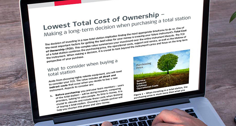
The TCO combines the purchasing price, the operational costs, support and service, as well as the lifetime of the instrument. Download our whitepaper to read what to consider when buying a total station.
Our engineering surveying solutions make field and office work easier and enable the digitalisation of workflows and dataflows. Our hardware and software enable a digital site so you can deliver quality services throughout all stages of construction, complete projects faster with less waste and rework and be more profitable.
We provide the means to digitalise construction with reality capture and geospatial solutions that simplify day-to-day construction and civil engineering tasks, seamlessly connect the field and office and empower executives with top-down visibility and management.
We facilitate digital dataflow with full support of CAD and Building Information Modelling (BIM) formats on total stations, GPS/GNSS and machine control systems to define construction activities and check progress. Digital models can be easily shared between all stakeholders on site with online exchanges to ensure that everyone has the most up-to-date designs. Always having the latest designs, minimises rework and ensures minimal waste and reduces costs.
Leica Geosystems solutions contribute to construction site safety for people and assets and help design and build safe infrastructure where monitoring detects even the smallest movement.
Our smart surveying equipment and software allow measuring and capturing physical environments from a safe distance, increase virtual collaboration, and improve workflows, increasing the safety of staff, sites and infrastructure. Our portfolio includes utility locators help to precisely locate all buried utilities to avoid dangerous utility strikes; GNSS, total stations and 3D laser scanners that capture points from a safe distance; monitoring solutions that detect structural deformation and real-time personal alert and collision avoidance for machinery and personnel on construction sites.
Read our blog to learn why counting on geospatial solutions that capture, build and monitor sites and infrastructure translates into "safety first."

“Dad started with a Wild theodolite, so we’ve always had a trust in Wild and now Leica Geosystems instruments—they’re bulletproof. So I trusted this receiver to be as fast as advertised, and I knew that speed would pay off for us.”

“Not only are we seeing savings on the cost of manpower, management and all indirect costs associated, but there are also applications we can now enter. The opportunities presented by the technology even further the ROI.”

“The Leica Geosystems solution allowed for a fully-automated workflow and computation of the results and fast delivery of coordinates when required, optimising costs and time of operation for the surveying team compared to different methodologies.”

“I’m often working near live traffic, and now I can be a step farther away just by leaning the pole out and taking the shot without plumbing up. The increased speed is great, of course, but working more safely is probably the biggest advantage.”

“We always choose Leica Geosystems for our surveying jobs as we can rely on the high quality. Furthermore, the support and excellent aftercare received from their Technical Support and Technical Service teams are second to none.”

“With the accuracy of the Leica TM50 total station, we were able to quickly determine if construction operations were negatively impacting surrounding structures, improving the safety for the crew and community.”
Qualunque sia la complessità dell'attività di rilievo da svolgere, puoi trovare la giusta soluzione per la misura, il posizionamento, la visualizzazione e la condivisione che ti consentirà di essere più efficiente.
Qualunque sia la complessità dell'attività di rilievo da svolgere, puoi trovare la giusta soluzione per la misura, il posizionamento, la visualizzazione e la condivisione che ti consentirà di essere più efficiente.


