도로 및 고속도로
도로 및 고속도로 관련 프로젝트에 최대한의 안전성, 효율성으로 스케줄에 맞게 진행되도록 지원해 드립니다.
Deliver the most accurate and complete geospatial data for roads & highways
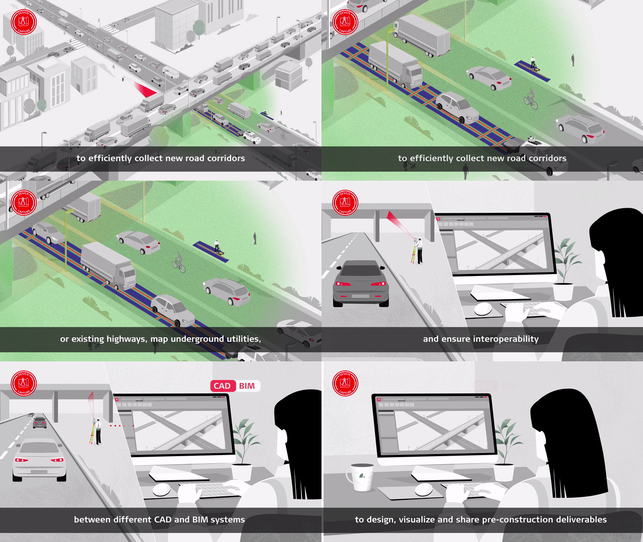
Engineering surveyors can help the planning, designing and building roads & highway projects as safely and efficiently as possible with Leica Geosystems solutions.
Our complete portfolio of surveying solutions, machine control systems and construction positioning solutions ensure safety, help you be faster, collaborate in the cloud, digitalise workflows and deliver the most accurate geospatial data in every phase of the construction lifecycle of highways and roads.
Discover the solutions at each phase of the construction life cycle and let our solutions increase your efficiency.
Construction lifecycle phases
Construct & Build
Operate & Maintain
In your own words
측량 솔루션
복잡한 작업도 얼마든지 다양한 측정, 포지셔닝, 시각화 및 협업 포트폴리오 내에서 솔루션을 사용해 성공과 효율성 향상