Leica GS18

Esteja pronto para qualquer trabalho topográfico com este móvel RTK

p-011_HeaderImage_LeicaGS18Series-BeReadyForAnySurveyingJobWithThisGNSSRTKRover_01_2480x750

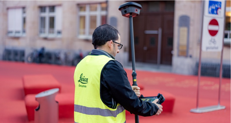
Cada trabalho apresenta desafios diferentes. Orografia díficil. Obras lotadas. Acesso restrito. Pontos inacessíveis. Condições que mudam constantemente. A Leica GS18 foi criada para o ajudar a superar tudo isso. Combinando um desempenho GNSS de confiança com a compensação de inclinação líder do setor, posicionamento e implantação visual, permite capturar dados precisos, adaptar-se a condições que mudam constantemente e concluir mais trabalho numa única visita.


Find your ideal GNSS solution

Built for a connected surveying workflow

The Leica GS18 works seamlessly with Leica Captivate and Leica Infinity, connecting field and office so you can move from preparation to final deliverables without interruption.

Prepare

Use Leica Infinity to prepare your data before heading to the field. Import designs, define coordinate systems and adjust jobs. Then transfer everything to the CS50 via Hexagon GeoCloud, ready to work in Leica Captivate.

Use Leica Infinity to prepare your data before heading to the field. Import designs, define coordinate systems and adjust jobs. Then transfer everything to the CS50 via Hexagon GeoCloud, ready to work in Leica Captivate.

Measure and stake

In the field, use the CS50 with Captivate to measure, visualise, and check your data in 3D. Responsive performance, a bright display, and tactile keypad keep you in control throughout the job.

Transfer data

Send collected data directly from the CS50 to GeoCloud. Your data is securely stored in the cloud and ready for office teams to check or start processing, with no delays and no data gaps.

Process and deliver

Continue your work in Infinity, combining field data with information from other survey instruments. Use CAD drafting to create your survey notes, export to BIM and CAD applications, or send data back to the CS50 in the field.


Why is the GS18 the best for you?

field360

Keep measuring confidently when GNSS conditions get difficult. Powered by AI-RTK, the Leica GS18 automatically identifies and mitigates problematic GNSS signals that can compromise positioning performance. Combined with advanced positioning algorithms and interference mitigation technology, it delivers robust RTK positioning and dependable results even in the most demanding field conditions, such as around buildings and other obstructions.

field360

Go beyond traditional GNSS measurement. Tilt compensation lets you measure without constantly levelling the pole, while Visual Positioning combines GNSS, an IMU and an integrated camera to measure points that are difficult or impossible to reach. Capture the site in images and measure points directly in the field or later in Leica Infinity.

field360

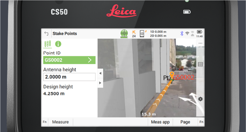
See where you need to go instead of relying only on traditional stakeout guidance. Visual Stakeout combines the GS18 integrated camera with Leica Captivate to show the target and navigation guidance directly in the live camera view, helping you find and stake out points faster and more intuitively.

Part of the Leica Captivate portfolio

One workflow across your surveying instruments

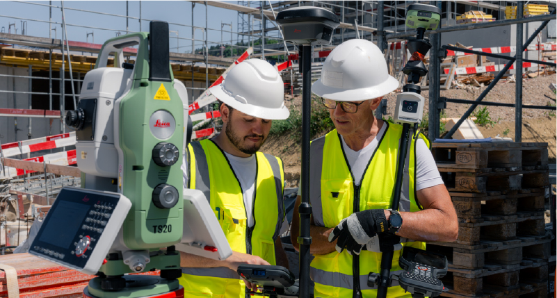
The Leica GS18 works seamlessly with Leica Captivate field software, providing a consistent surveying experience. Collaborative projects, measurements and workflows remain familiar regardless of the instrument you use, making it easy to switch between technologies without changing the way you work. Whether you're capturing GNSS measurements, setting out with a total station, or combining both on the same project, Leica Captivate keeps your data connected and your team productive.

Resources

GS18 Datasheet

Explore the technical specifications and capabilities of the Leica GS18 and its variants. 

Compare Leica GNSS receivers

Find the Leica GNSS receiver that best matches your surveying applications, workflows, and performance requirements.

Find the right GNSS solution for you

Answer a few simple questions to discover the Leica GNSS solution that's right for your projects and surveying needs.

Understanding visual positioning

Learn how visual positioning enables you to measure inaccessible or previously overlooked points directly from captured images.

Discover related products


Leica Captivate

Unlock advanced surveying workflows with powerful field software designed for the Leica GS18.

Controllers and tablets

Control the Leica GS18 with your choice of field controller or tablet, such as the Leica CS50.

Leica Infinity

Transfer, process, and validate GNSS data to create trusted deliverables for CAD, GIS and BIM workflows.

Hexagon SmartNet

Access reliable GNSS correction services to maximise positioning performance wherever your projects take you.

Total stations

Complement GNSS measurements with a high-performance total station, such as the Leica TS20, for demanding surveying applications.

Hexagon GeoCloud

Connect field and office through cloud-based data sharing, collaboration, and project management to keep your surveying workflows moving.

Connect field and office through cloud-based data sharing, collaboration, and project management to keep your surveying workflows moving.

Frequently Asked Questions


Can't find what you're looking for here? Ask the experts your questions.