News
Latest Hexagon Geosystems' technology news

New handheld imaging laser scanner offers unprecedented efficiency

The Leica BLK2GO is a wireless handheld imaging laser scanner that seamlessly captures 3D environments while the user is in motion, and continuously creates a digital representation of reality in the form of 3D point clouds. The BLK2GO’s compact and handheld design allows a much greater degree of mobility, as well as access to spaces and objects that may have been difficult or impossible to scan before.
New real-time reality capture sensor for building management and surveillance

The Leica BLK247 provides professionals in security or building operations with a second line of defence that alerts them to unauthorised or abnormal activity as it’s happening. The BLK247 uses LiDAR, 3D digital fencing and continuous scanning to monitor buildings and spaces 24 hours a day, 7 days a week, making it ideal for protecting private and public spaces including airports, hospitals, schools and museums.
New reality capture software brings point cloud processing into one streamlined application

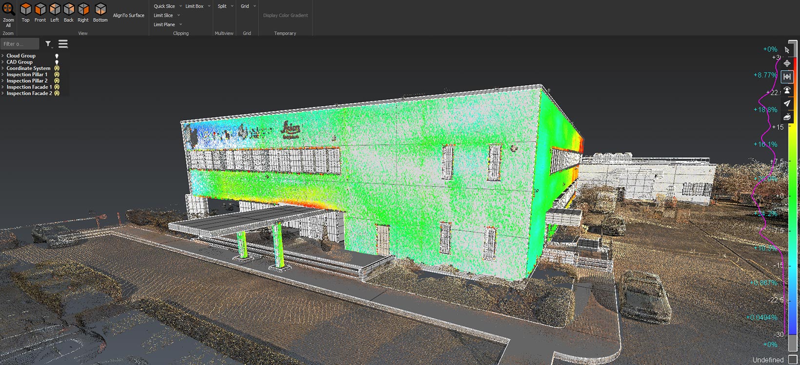
The Leica Cyclone 3DR is the new reality capture software that fuses technology for centralised, full-scale point cloud management from Leica Cyclone with advanced, automated point cloud analysis and modelling from 3DReshaper. The new software delivers a simplified platform for surveying, architecture, engineering and construction (AEC) and tank inspection applications.
New Ground Penetrating Radar solution revolutionises underground utility detection

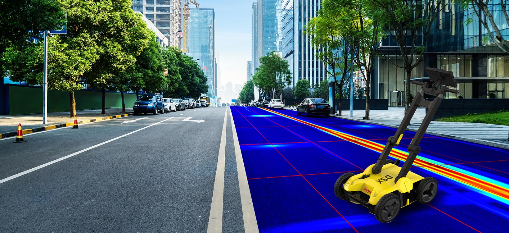
The Leica DSX, a portable Ground Penetrating Radar (GPR) solution, allows users to easily detect, map and visualise underground utilities safely and reliably with highest positioning accuracy for utility repair and maintenance, civil engineering and surveying companies. Unlike any GPR system, the Leica DSX maximises productivity with cutting-edge software that automates data analysis and creates a 3D utility map on the field.
Around the world
Reporter subscription
Contact Leica Geosystems
Want to learn more? We're here to answer your questions.
Want to learn more? We're here to answer your questions.


