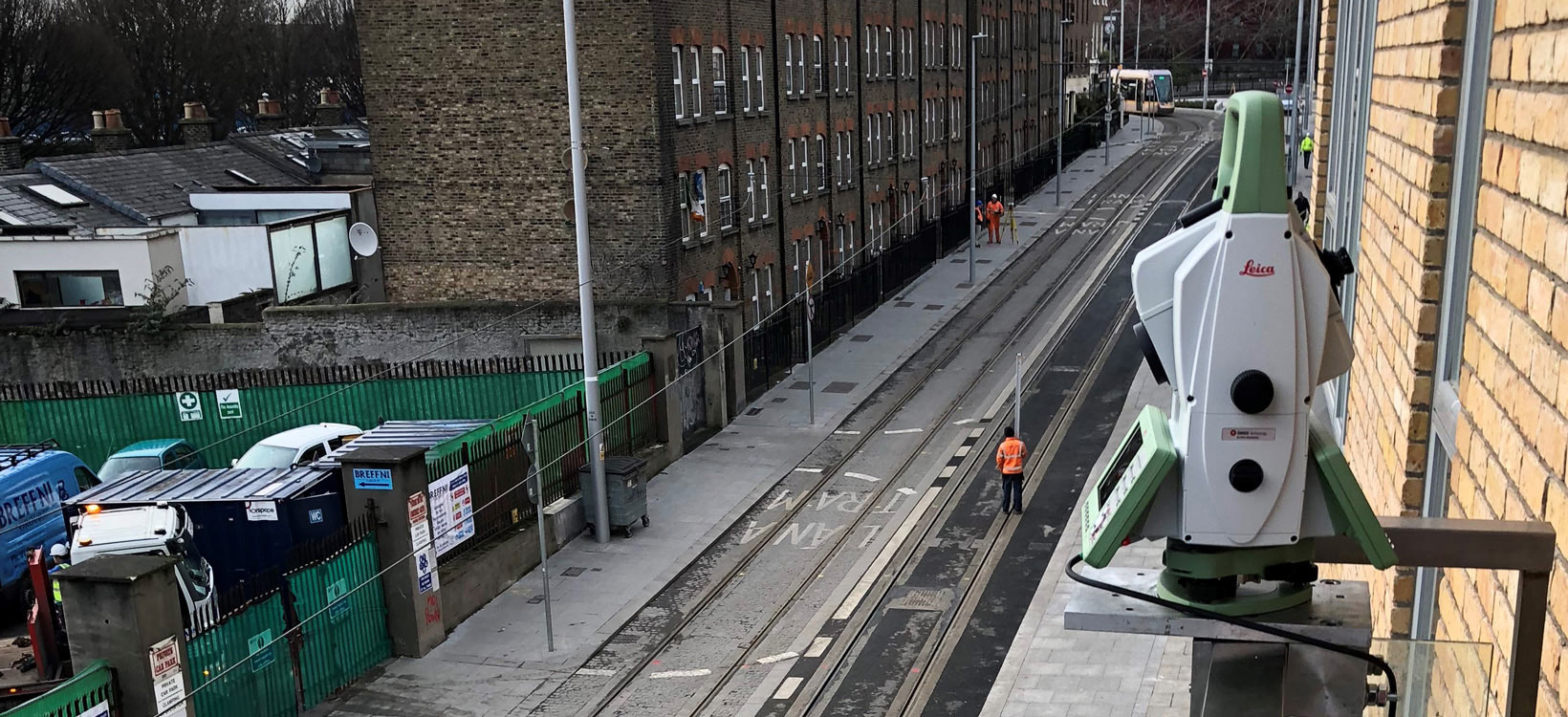

Monitoring a busy UK highway during rail construction
Automated laser scanning with the Leica Nova MS60 made it possible to continuously monitor a low access, high-traffic motorway.






.jpg?sc_lang=cs-cz&hash=DA027349736A19C91746D42C83A37619)
Introducing a new dimension in reality capture and a new way of working for 3D laser scanning.

Introducing a new dimension in reality capture and a new way of working for 3D laser scanning.
Das ultimative Allround-Instrument, das die Funktionen einer Totalstation mit 3D-Laserscanning, GNSS-Anbindung und digitaler Bildtechnik kombiniert

Automated laser scanning with the Leica Nova MS60 made it possible to continuously monitor a low access, high-traffic motorway.

Discover how sensor fusion can help you master your projects.

Learn from an expert how the Leica Nova MS60 scanning total station improves productivity in daily tasks and challenges.
Die neue Version der Leica Nova MS60 – die weltweit erste MultiStation – ermöglicht es Ihnen, alle Ihre Messaufgaben mit einem Instrument auszuführen. Für diese Sensorfusion auf einem neuen Niveau werden folgende Elemente kombiniert:
Erstklassige Totalstation-Funktionalitäten
3D-Laserscanning, ermöglicht Ihnen das Scannen von bis zu 30.000 Punkten pro Sekunde
GNSS-Anbindung
Digitale Bildtechnik
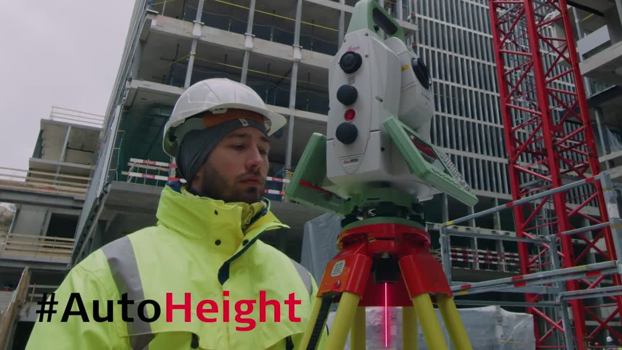
Die neue MS60 verfügt über Leica Captivate, eine Onboard-Software mit bedienerfreundlichen Apps, die alle Ihre Messaufgaben abdeckt. Um Ihre Arbeit sogar noch produktiver zu gestalten, können Sie von der Dynamic Lock-Funktion der MS60 sowie von der neu hinzugefügten, revolutionären Stationierungs-Assistenzfunktion AutoHeight profitieren – mit dieser Funktion können Sie durch einfachen Knopfdruck noch schnellere und genauere Stationierungen vornehmen.
Anwendungsfälle für die Leica Nova MS60:
Erfahren Sie, was unser Kunde über die Einbindung der MS60 in einen idealen Workflow zu berichten hat:
Traditional surveying and so much more. Learn ways our scanning total station enables measurement tasks and deliverables for a range of sites and structures.
Leica iCON pave makes concrete paving faster, smarter, and more precise by eliminating stringlines and enabling continuous paving with features like automatic leapfrogging and smart total station management. Whether on highways, airports, or complex urban projects, the system adapts seamlessly to any jobsite using flexible sensor setups and a simple, user-friendly interface.
Leica iCON pave makes concrete paving faster, smarter, and more precise by eliminating stringlines and enabling continuous paving with features like automatic...
Leica iCON pave milling solution controls depth and slope directly from a 3D design model, helping operators mill to the correct level without manual marking or adjustments. This reduces over-milling, avoids the copying effect, and delivers a smooth, even surface ready for paving.
Leica iCON pave milling solution controls depth and slope directly from a 3D design model, helping operators mill to the correct level without manual marking or...
MS60
Innovations to the Leica Nova MS60 Scanning Total Station
Leica Nova MS60 – Dynamic Lock
Related Topics
Increase Surveying Productivity through Imaging and Augmented Reality
Digital Interoperability Between Leica Infinity and Leica Cyclone
Just a Sticker? The Value Behind Certifying Your Measurement Instruments
The emergency services and the public entrust us with their lives
 Training videos
Customer Stories
The Not-So Surprising Secret to Running a Successful Surveying Firm
Adding Real Customer Value with the Leica MS50 MultiStation
Case Studies
Innovating As-Built Verification
Monitoring with the MS60
Learn how the MS60 has been incorporated into comprehensive and automated monitoring solutions on projects across the world.
While MS60 technology has progressed since these cases first came out, they continue to inspire with what MultiStation technology can achieve on outstanding projects.
Lift-off with MultiStations, Robotic Total Stations