


Preserving the Legacy of an Ancient Bavarian Church
Case study

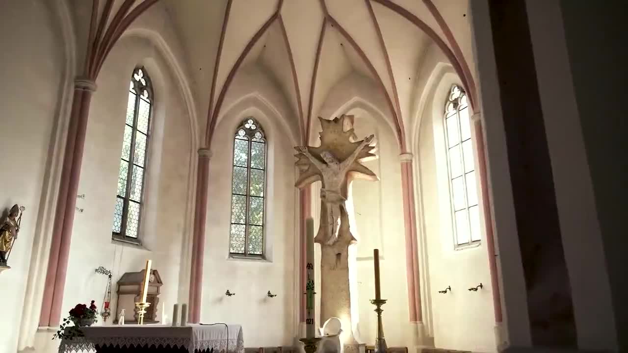
For over 1500 years, a church has sat on the site of St Severin in Passau, in the Southern German state of Bavaria. One of the oldest churches in the region, St. Severin, remains important to the community and holds significance in Christian history. The earliest documented mention of the church is from the 5th century.
Severinus of Noricum (c. 410-482) founded this small monastery around 460 AD. The monastery was expanded in various construction phases to its current appearance. Dendrochronological analysis of the roof truss construction wood revealed four felling phases between the 14th and 19th centuries. The roof truss in the nave dates from 1325. The chancel roof is almost 150 years younger and dates from 1472.
Between 1854 and 1861, the church underwent extensive restoration and repair work in the late Romanesque style. However, this restyle has, until now, made it harder to investigate and document some of the original historical architecture. For example, a floor plan from 1856 mentions nothing about the original design when the church was first constructed.
PB Grassl, a German architectural firm that focuses on protecting sacred buildings and monuments, worked with Leica Geosystems to measure and document the church for preservation and future renovation works.
Using terrestrial laser scanning technology, the architects created a complete 3D survey, capturing two billion measurement points and more than 2,000 images.

Laser scanning from both on the ground and in the air
St. Severin was measured using the Leica RTC360, a fast, accurate, and simple-to-use laser scanner suitable for managing complex projects and creating reliable 3D visualisations. Scans were completed at 240 locations on the site, alongside a photogrammetry camera to capture measurable images. The Leica Cyclone FIELD 360 mobile device app linked the 3D data acquisition directly in the field, which meant PB Grassl could automatically capture, pre-register, and examine scan data on-site.
At the same time, the PB Grassl team used a drone to photogrammetrically record 2267 photos. Photogrammetry with the drone is a great advantage, especially in hard-to-reach places such as roofs.
Once the data was acquired, the laser scans were then evaluated back in the office using Leica Cyclone REGISTER 360 point cloud registration and post-processing software. Alongside Cyclone REGISTER 360, the photogrammetry images were processed using Agisoft Metashape software.
After the scanning and subsequent data evaluations, PB Grassl created a single large point cloud derived from the two point clouds of laser scanning data and photogrammetry images. 2D plans and a 3D model were created to make sections throughout the building and to export orthophotos, distortion-free and true-to-scale images of a building/object.
The digital survey and 3D model of St. Severin have been presented to St. Severin’s curators for future reference when planning restorations or rebuilding the church should damage or fire occur.

Time is of the essence so the future is protected
Training on Leica Geosystems 3D laser scanners was kept to a minimum as the PR Grassl team had been able to test various instruments six months beforehand and developed their own workflow specifically for historic buildings. After meeting Leica Geosystems at the trade show, INTERGEO in 2019, the team concluded that the Leica Geosystems’ laser scanners and software would save them critical time on site. Speed and high accuracy levels were the two most important evaluation points for selecting the scanning technology.
For Thomas Grassl, PB Grassl owner and construction engineer, the work “reflected the most important point in the field of architecture and monument protection: the digitisation and permanent documentation of such a historic building.”

A solid basis for architectural and engineering work
St. Severin is now digitally documented and preserved in detail. The 2D and 3D models are an excellent basis for the work of architects, structural engineers, and construction researchers. The project has also resulted in PB Grassl creating a new department that focuses exclusively on surveying historic buildings and areas of interest. It is vital that data from these surveys can be revisited and used as a foundation for renovation works, preserving structures for future generations and communities.
Thomas Grassl concluded: “We are committed to the past, present, and future, to preserve the legacy of our ancestors and preserve it for our descendants.”

Contact for Laser Scanning
Get in contact with us for more information about our laser scanning portfolio.
Get in contact with us for more information about our laser scanning portfolio.

Reality Capture Newsletter
Click here to subscribe to our regular newsletter and stay up-to-date on all the latest reality capture news.
Click here to subscribe to our regular newsletter and stay up-to-date on all the latest reality capture news.

Laser Scanning Industry Applications
With the introduction of laser scanning, measuring and documenting is simplified and improved across all industries.
With the introduction of laser scanning, measuring and documenting is simplified and improved across all industries.