Leica Captivate Road App – Digital tools for the road construction lifecycle
One app to stakeout, layout and quality check road alignments and surfaces

Data provided by measurement professionals plays a critical role in the planning, design, construction, and maintenance of our road infrastructure. From staking out road alignments and slopes, to quality checks and as-built verification, the Leica Captivate Road app provides the software tools needed to efficiently and effectively complete measurement tasks throughout all stages of road construction and maintenance.
Leica Captivate Road App - Streamlining road alignment tasks
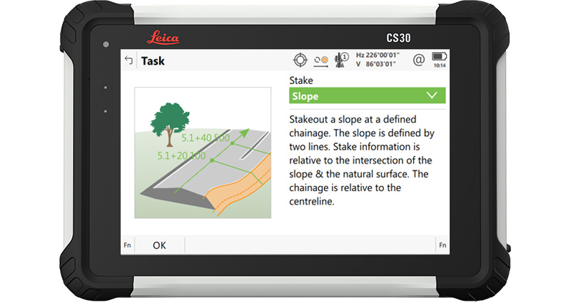
Stake designs and check as-built
The Leica Captivate Road app is divided into two separate parts, one that enables road alignments, slopes and surfaces to be staked out and one tailored towards checking the as-built road against the design. With these dedicated digital tools, you are ready to stake or check across the road construction lifecycle.
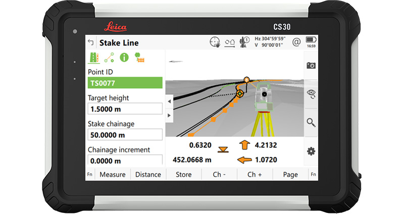
Road edges, slopes, surfaces and crowns
Designed with features to streamline road-specific survey tasks, the Leica Captivate Road app makes a wide range of work easier. For example:
- Stakeout and measure the road and visualise the design in 3D or cross section view
- Stake out slope catch points, batter rails, profiles, crossfalls and cambers needed for the road construction using very easy to follow routines
- Check the quality of each layer of the road surface and crown, from the subgrade to the running surface
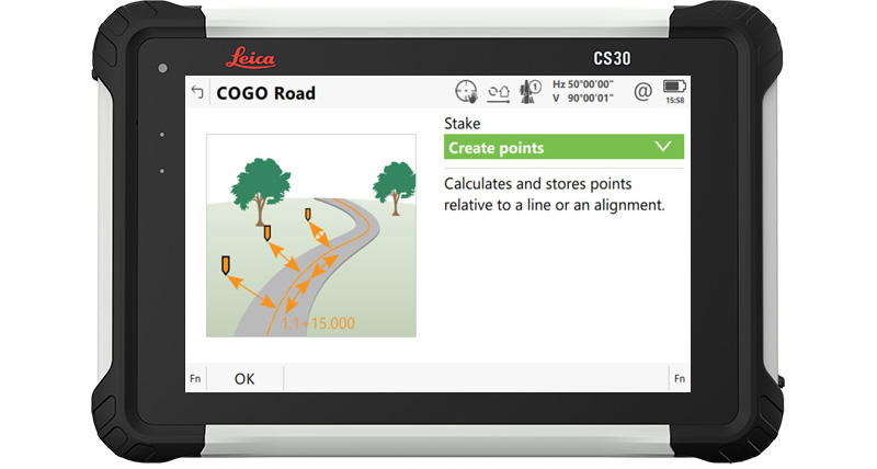
Captivate Quick Tip
You can use the COGO Road tool in the Captivate Road app’s toolbox to create a point given by alignment related information (e.g. chainage and offset). This enables stakeout tasks on site when you need to stake specific objects like slab corners, ducts, or inserts that are in CAD drawings rather than the road alignment.
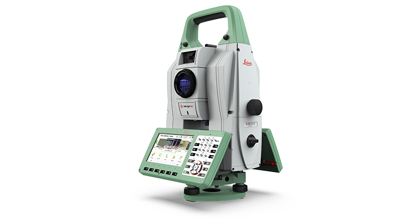
The Leica Captivate field software is fully compatible with:



Resources

Leica Captivate datasheet
Datasheet presenting the most important features and supported devices by the Leica Captivate field software for measuring professionals.
Datasheet presenting the most important features and supported devices by the Leica Captivate field software for measuring professionals.

Captivate Road App Essentials Course
Want to get some training on the Leica Captivate Roads App? This course will teach you the essentials of how to use the app. All you need is a myWorld account and a valid Customer Care Package (CCP).
Want to get some training on the Leica Captivate Roads App? This course will teach you the essentials of how to use the app. All you need is a myWorld account and a valid Customer Care Package (CCP).

Deliver geospatial data for roads & highways
Let us help you deliver your next road and highway project on time, safely and as efficiently as possible. The complete portfolio of surveying solutions delivers accurate geospatial data at every phase of the construction lifestyle of roads & highways.
Let us help you deliver your next road and highway project on time, safely and as efficiently as possible. The complete portfolio of surveying solutions delivers accurate geospatial data at every phase of the construction lifestyle of roads & highways.

Overview of Leica Captivate Apps
Do you know all the apps Leica Captivate has to offer? From essential functions to advanced capabilities, this page is your one-stop resource to explore everything you can do with the field software.
Do you know all the apps Leica Captivate has to offer? From essential functions to advanced capabilities, this page is your one-stop resource to explore everything you can do with the field software.
Discover more industry and task-focused Leica Captivate apps


Select Country
Corporate Website (global)
Europe

Americas
- United States
- Canada
- Brazil
- Central America
- South America

Asia

Close


.jpg?sc_lang=en&hash=9400E5E93E33DA1FE643F724574B105C)
Introducing a new dimension in reality capture and a new way of working for 3D laser scanning.

- Leica iCON Build Software
- Leica AP20 AutoPole
- Leica iCON Site Software
- Leica iCON Construction Sensors
- Leica iCON Robotic Total Stations
- Leica iCON Manual Total Stations
- Leica iCON Layout Tool
- Leica iCON GNSS Smart Antennas
- Leica iCON Controllers
- Leica iCON Trades Software
- Leica iCON GNSS Receivers
- Accessories
- Content Hub
- Contact Us
Introducing a new dimension in reality capture and a new way of working for 3D laser scanning.
