


Leica Captivate 2027
Professional surveying field software for GNSS and total station workflows, built for demanding projects and evolving jobsite requirements. Leica...






.jpg?sc_lang=ru-ru&hash=4CD86478982FB67ABA5615CA3D9427CD)
Introducing a new dimension in reality capture and a new way of working for 3D laser scanning.

Introducing a new dimension in reality capture and a new way of working for 3D laser scanning.

Leica Captivate combines measurement, stakeout, and survey workflows in a single field software. Designed for professional surveyors, it provides the flexibility and control needed to adapt to changing project requirements.

Leica Infinity geospatial office software suite is designed to manage, process, analyse and quality check field survey data from UAVs and terrestrial surveying equipment.

Flexible automatic deformation monitoring software solution.

Analyse & visualise monitoring data from everywhere.
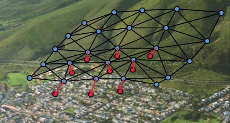
Automatic adjustment and deformation analysis for monitoring.

Field software for any application.

Surveying and engineering office software for field to finish.

