Leica Cyclone FIELD 360

Automatically pre-register and align scans directly in the field

as

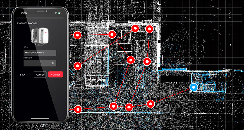
As part of the Leica RTC360 3D Reality Capture Solution, the Leica Cyclone FIELD 360 app links the 3D data acquisition in the field with the RTC360 laser scanner and data registration with Leica Cyclone REGISTER 360 post-processing office software.

On-site the user can automatically capture, register and examine scan and image data. The user interface combines easy handling of complex calculations with a graphical user guidance which offers a remarkable user experience also for novice users.

One platform


Cyclone FIELD 360 works with the full family of Leica Geosystems reality capture sensors, including the Leica RTC series, Leica BLK360, Leica BLK2GO and others. One app for terrestrial, handheld, and autonomous scanning workflows. Run it on iOS or Android, on a tablet or phone your team already owns. Basic scanning, linking, and registration workflows come included with every compatible Leica Geosystems scanner. Just download the app and connect. For advanced plug-ins like QuickPlan and FF/FL analysis, upgrade to Cyclone FIELD 360 Pro.

Faster in field


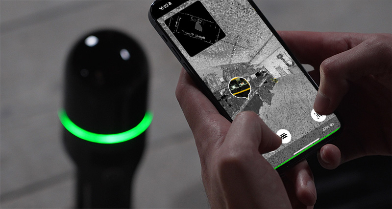
We put speed first. The Scanning MiniPlayer lets you manage scans while linking or measuring. The Smart Data Browser brings scan data, setups, and GeoTags in one panel. Multiple registration algorithms, including Quick-Link, pre-alignment, bundle optimization for cloud-to-cloud reigstrations, target-to-target links, and traverse leg creation, run entirely in the field. Then, enrich your data with the new GeoTags system. Attach photos, video, audio, and files to precise point cloud locations, organised with colour-coded categories. Export registered point clouds, floor plans, and georeferenced datasets in E57, DXF, or IFC before you leave the site.

Advanced analysis


Go beyond scanning with analysis plug-ins that run entirely on your mobile device. Floor Flatness / Floor Levelness. Generate ASTM E1155-compliant FF/FL reports in under three minutes. Analyse wet concrete before it sets and remediate on the spot. Georeferencing. Extract targets from RTC series raw data, assign real-world coordinates, and lock your point cloud to geographic coordinate systems or local grids, all in the field. QuickPlan. Create floor plans on site and export to DXF or IFC for immediate BIM and CAD use,

Cloud-connected collaboration


Your data moves where it needs to, when it needs to. Publish directly to GeoCloud for cloud collaboration, or flow into Cyclone REGISTER 360 PLUS for advanced registration and analysis. GeoTags, Limit Boxes, and georeferencing data all transfer intact. Nothing gets lost between field and office. With Leica RTC series scanners, the built-in Livelink capability syncs preview data to every connected device and the office in real time. Registration and production can begin while capture is still happening

Downloads

Educational Articles & Insights

What is 3D Reality Capture and what does it mean for your industry?

Contact us about Laser Scanning today!

Get in contact with us for more information about our laser scanning portfolio.