


Leica Infinity
The bridge between field and office.






.jpg?sc_lang=uk-ua&hash=0065A393EC72135350EBA8AED94C341C)
Introducing a new dimension in reality capture and a new way of working for 3D laser scanning.

Introducing a new dimension in reality capture and a new way of working for 3D laser scanning.

Immersive 3D field software to capture and manage data.

Leica Infinity is the user-friendly geospatial office software for the measurement professionals. The surveying software is designed to manage, process, analyse and quality check all field survey measure data, including total stations, digital levels, GNSS and UAVs.
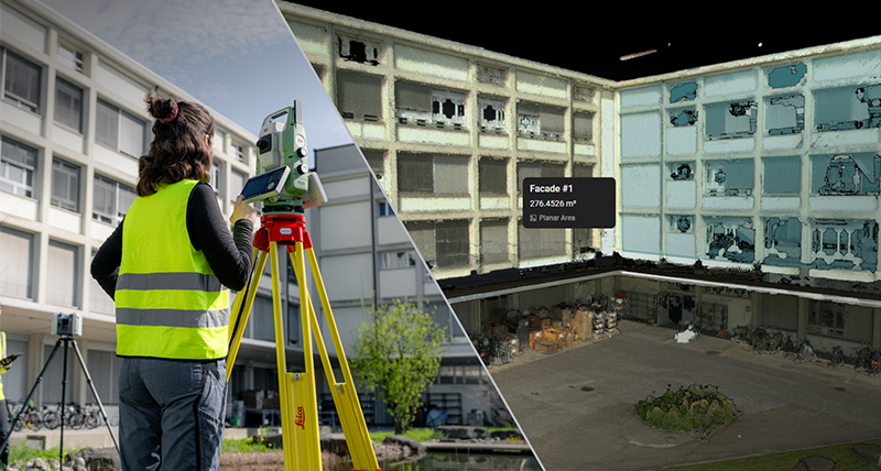
Store, transfer and share your data efficiently between field and office to improve your data workflow with GeoCloud Drive, powered by HxDR.

Field software for any application.
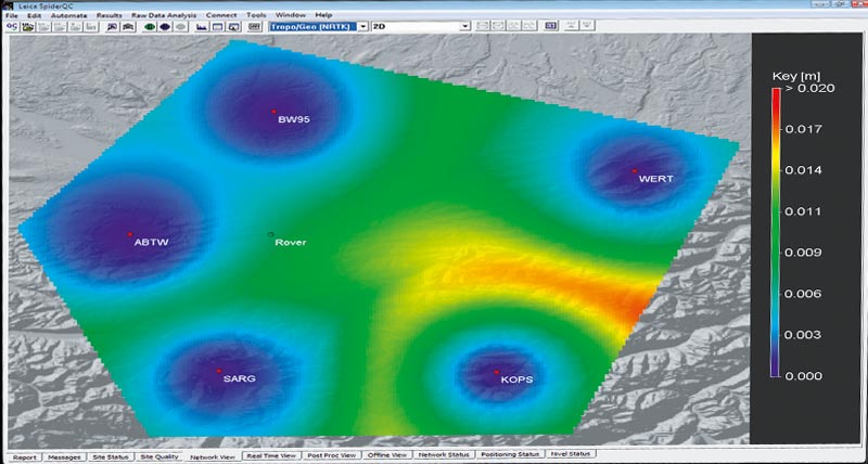
Quality monitoring software to complement Leica GNSS Spider.

GNSS software for the academic field.

Leading software suite for forensic investigation.

Evidence Recorder is the world's best-selling crash and crime scene data collection software used by reconstruction professionals using total stations or GNSS systems.