Operate & Maintain Railways

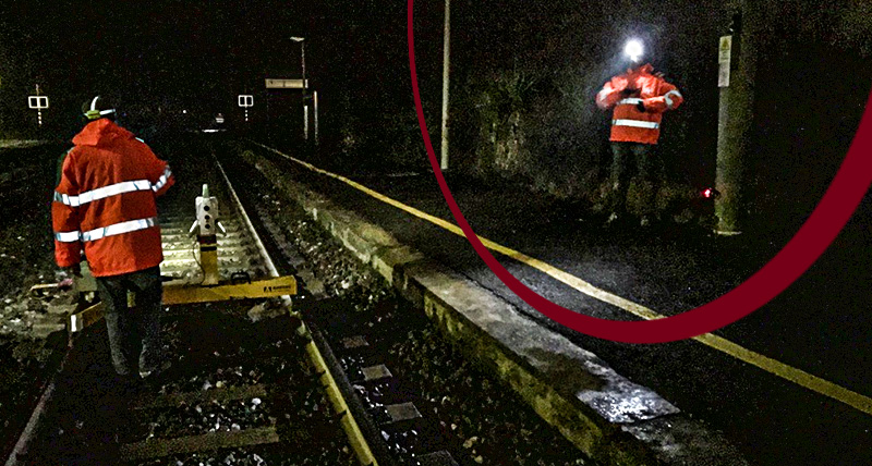
Surveyors document, measure and monitor rail assets in real-time, efficiently detecting potential issues.


Learn how deformation monitoring can provide real-time information to ensure the safety and integrity of railway infrastructure.

Our rail solutions help you deliver the most precise track positioning, stakeout, alignment measurement, track quality analysis and as-built surveys.


Aumente la eficiencia y precisión del mantenimiento de vías, mejore la toma de decisiones

La medición precisa de la geometría de la vía, la preparación de los insumos para las operaciones de bateo y la inspección del balasto ferroviario son aspectos críticos del mantenimiento y operación del ferrocarril que ayudan a garantizar la seguridad, la comodidad, la rentabilidad y la eficiencia de la red ferroviaria.

Las soluciones de Leica Geosystems proporcionan a los topógrafos herramientas y tecnologías avanzadas para medir con precisión la geometría de las vías de la infraestructura ferroviaria y preparar datos para llevar a cabo operaciones de bateo precisas. Además, la solución de radar de penetración terrestre de alta velocidad de Hexagon inspecciona rápidamente el lastre ferroviario e identifica de forma autónoma las áreas que requieren mantenimiento o renovación.

Documente y mapee los activos ferroviarios en 3D para una operación segura y rentable

Se confía en los topógrafos para documentar los activos ferroviarios con soluciones precisas para garantizar que las redes puedan operarse, mantenerse y actualizarse de manera efectiva.

Nuestros sistemas de mapeo móvil 3D permiten la recopilación de datos segura y rentable de hasta cientos de kilómetros de mapeo completados por día sin necesidad de personal en las vías o alrededor de ellas. Mapee fácilmente ubicaciones inaccesibles y de difícil acceso y automatice el procesamiento de datos, incluida la identificación y extracción autónoma de características. Las soluciones de captura de realidad móvil ayudan a automatizar la operación y el mantenimiento ferroviario al simplificar la adquisición y el procesamiento de datos de espacios libres, geometría de vía, perfiles de vía, volumen de lastre y posiciones de catenaria.

Minimice las fallas con soluciones de monitoreo de vías férreas

Es crucial monitorear la estabilidad estructural del ferrocarril para garantizar la seguridad de los pasajeros, la carga y las comunidades circundantes. Las construcciones adyacentes, las estructuras envejecidas y los eventos climáticos extremos pueden afectar la infraestructura ferroviaria y el lecho de la vía. Para comprender el efecto de estos, es esencial contar con una solución integral de monitoreo estructural.

Las soluciones de monitorización de Leica Geosystems le permiten detectar cambios en la infraestructura ferroviaria y el entorno circundante, lo que permite a los operadores gestionar las reparaciones de forma eficaz e implementar medidas de mantenimiento preventivo. Recopile datos en tiempo real sobre el estado de los rieles, como peralte, torsión, alineación horizontal, ancho y altura del riel. Nuestras soluciones de evaluación de nube a nube de monitoreo en tiempo real, monitoreo de campañas y captura de la realidad pueden proporcionar datos valiosos para respaldar la toma de decisiones informadas, garantizando la estabilidad y seguridad continuas del ferrocarril.


Discover our solutions for the operation & maintenance of railways


Reduce time and cost, and increase productivity


Maximising efficiency and minimising downtime

Mounted on a rail vehicle, the Leica Pegasus TRK solution captures the trajectory, 3D laser scan point could with georeferenced imagery and additional 360 stitching-free images to create a digital twin of rail tracks and the surrounding infrastructure. Ensure safety by remotely measuring inaccessible or dangerous areas and minimise track interruption with rapid data collection. Leica Geosystems mobile mapping systems empower you to capture data efficiently over long distances compared to conventional surveying techniques.

Easily extract asset information

Cyclone MMS DELIVER uses trajectory information, point clouds with all meta information, and imagery previously processed with Cyclone Pegasus OFFICE to transform the data into actionable information. Objects such as the main track, adjacent track, poles/signals, platform edges, catenary, walls, overpasses, and underpasses/tunnels can be easily recognised. The data will be delivered into industry-standard formats that can seamlessly be shared across stakeholders for better and faster decision-making.

Capture rail yard or rail bridge from the air

Rail yards may be the most challenging assets of any rail system, whether passenger or freight. With Leica BLK2FLY, an autonomous flying laser scanner with advanced obstacle avoidance, you can easily capture reality from the sky, be it a rail yard or bridge, without disturbing rail operations. Requiring no prior UAV experience, the BLK2FLY is controlled by the BLK2FLY app. The collected 3D point cloud data is transferred to Leica Cyclone REGISTER 360 PLUS (BLK Edition) for post-processing, management and delivery.

An integrated solution for measurement and quality control


Track positioning for renewals

Leica Captivate Rail app works with various hardware solutions including rail shoes, track gauges, trolleys and twin trolleys (e.g. Carttop, Geokod/GeoTEL) to deliver the required data for any stage of your renewal or construction projects.


Trusted accuracies on rail

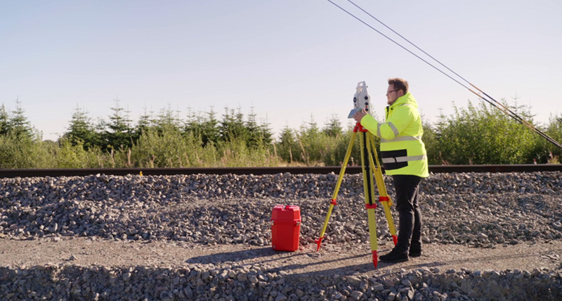
Leica Geosystems are the preferred partner of Amberg Technology, Goldschmidt/Graw TEC to provide highly accurate sensors for track geometry measurements. Leica TS60 total station communicates with Amberg Tamping GRP 3000 to equip the surveyor with a high-performance track design-based or control point-based tamping system that allows identifying track position errors as a basis for maintenance of ballast track.

Determine a safe route with precise and efficient clearance inspection


Digital twin with survey grade accuracy for clearance analysis

Mounted on a rail vehicle, the Leica Pegasus TRK solution captures the trajectory, 3D laser scan point could with georeferenced imagery and additional 360 stitching-free images to create a digital twin of rail tracks and the surrounding infrastructure. Safe operation is ensured by remotely measuring inaccessible/dangerous areas, and track interruptions are minimised by rapid data collection. Leica Geosystems mobile mapping systems empower you to efficiently capture data over long distances compared to conventional surveying techniques.

Autonomous information extraction for clearance analysis

Cyclone MMS DELIVER uses trajectory information, point clouds with all meta information, and imagery previously processed with Cyclone Pegasus OFFICE to transform the data into actionable information. Autonomous information extraction allows clearance analysis for 2D train profiles and 3D train models for managing vegetation encroachment and defining clearance envelopes. With Cyclone MMS DELIVER, you can define complex heavy load trains (load and carrier) for dimensional bolstered load clearance risk analysis against an encroachment database. The extracted information is delivered from unattended batch processing routines into industry-standard formats for seamless sharing among multiple offices and collaborators.

Safely inspect the railway ballast with SRS SafeRailSystems


Minimise survey time with a high-speed ground-penetrating radar (GPR) solution

SafeRailSystem (SRS) is a fast and non-destructive GPR solution enables you to inspect railway ballast for renewal and maintenance autonomously. This high-speed radar system (more than 300km/h) is made of three or four antennas and can be easily mounted on a rail carriage, rail-road enabled vehicle or locomotive. Reduce cost for under-track investigation, maintenance, and renewal of ballast and improve track maintenance decision-making.

Extract, analyse, and report radar data with the SRS DPA suite

The SRS DPA suite is dedicated post-processing software for easily and efficiently interpreting SRS data. The software allows continuous mapping of ballast thickness, location of areas with insufficient bearing capacity (e.g. ballast pockets), differentiation between clean and fouled ballast, and detection of sections with drainage problems. SRS DPA suite includes advanced automatic pattern recognition algorithms that assist the evaluation of ballast status and includes an automatic function for layer interface detection. The data analyser and reporting modules empower you to handle different layer views and export in various industry-standard formats.

Manage rail project risks for better safety with scalable monitoring solutions


Increase safety onsite and keep investments low with manual monitoring

Railway lines can pass through vulnerable areas, and keeping people and assets safe is critical. Through Leica Geosystems monitoring solutions, movements on and around a site can be detected, and preventive actions can be initiated. When risks are low, campaign monitoring will suffice, with measurements conducted with existing equipment ensuring small investments.

Improve efficiency and minimise errors with semi-automated monitoring

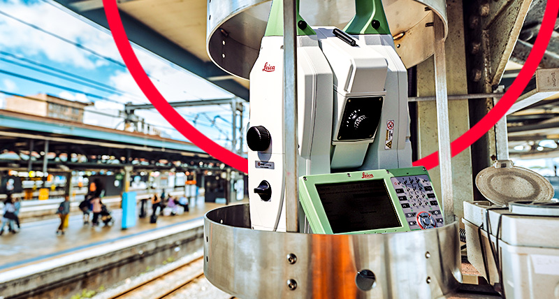
When a higher risk is expected along the railway line, people, infrastructure, and assets can be kept safe with semi-automated monitoring. Measurements and analysis are conducted automatically, without the need to have personnel on site, using the most accurate total station or MultiStation, Leica TPS monitoring onboard app, and Leica GeoMoS monitoring software suite. Results can be visualised and reported online to speed up the process to ensure any movements are quickly identified and actions are taken to keep all safe.

Enhance safety with real-time monitoring

For complete peace of mind, deploy Leica Geosystems' real-time monitoring solutions. Automated monitoring is the right choice for projects with a high risk of movement and in locations where accessibility is dangerous. Points can be identified and automatically measured either by Total station, MultiStation, digital level, GNSS, or WiSenMeshWAN geotechnical sensors and instantly checked to ascertain if movements have occurred. Real-time notifications are issued, and experts can immediately decide to evacuate areas at risk. Keep your construction site and surroundings safe with Leica Geosystems monitoring solutions that continuously inform stakeholders.

More efficient monitoring with Leica monitoring solution

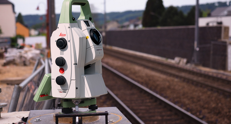
For faster and more seamless workflow with minimal time on site thus reducing risk and increasing safety our solution has three easy-to-use features. The Leica Combox60, plug-and-play with Leica GeoMoS Edge, provides surveyors with the simplest setup – one button, one cable. Leica Nova TM60 and AutoLearn functionality enable surveyors to automatically detect prisms. Leica GeoMoS suite has an advanced Railway Template enabling complex calculations and accurate configurations for quality deliverables in the desired format faster without error. Deliver data faster and easier with the Leica monitoring solution for safer railways.


Customer success stories


Monitoreo de vías y andenes durante la construcción.

Descubra cómo GEOFIT llevó a cabo trabajos de topografía e ingeniería y fue responsable de monitorear la vía férrea y los andenes utilizando una solución de monitoreo híbrida en una estación cerca de París.

Cómo utiliza Warner Land Surveys el Leica Nova TS60

Lea cómo Warner Surveys utiliza el TS60 para el estudio de control de la estación Kings Cross en Londres para proporcionar "vistas verificadas" y para el monitoreo 3D de fachadas y edificios.

Seguimiento del mayor proyecto de transporte de Australia

Descubra cómo GLS Monitoring utiliza estaciones de monitoreo y el software de monitoreo Leica GeoMoS para emitir alertas si se detecta algún movimiento fuera de los límites aceptables en la Estación Central de Sydney.

Surveying solutions

Regardless of how complex your task is, a solution is available within our diverse measuring, positioning, visualising and collaborating portfolio to help you succeed and be more efficient.

Grow your business

Discover how embracing digitalisation with technologies and processes can support your business to create new opportunities, stay competitive and improve productivity.

Surveying Solutions

Regardless of how complex your task is, a solution is available within our diverse measuring, positioning, visualising and collaborating portfolio to help you succeed and be more efficient.

Improve your skills

Learn the skills to be more efficient and react to business opportunities. Unlock your potential to offer better, faster and more specialised services to your clients.