Roads & Highways
Let us help you deliver your next road and highway project on time, safely and as efficiently as possible.
Deliver the most accurate and complete geospatial data for roads & highways
Engineering surveyors can help the planning, designing and building roads & highway projects as safely and efficiently as possible with Leica Geosystems solutions.
Our complete portfolio of surveying solutions, machine control systems and construction positioning solutions ensure safety, help you be faster, collaborate in the cloud, digitalise workflows and deliver the most accurate geospatial data in every phase of the construction lifecycle of highways and roads.
Discover the solutions at each phase of the construction life cycle and let our solutions increase your efficiency.
Construction lifecycle phases
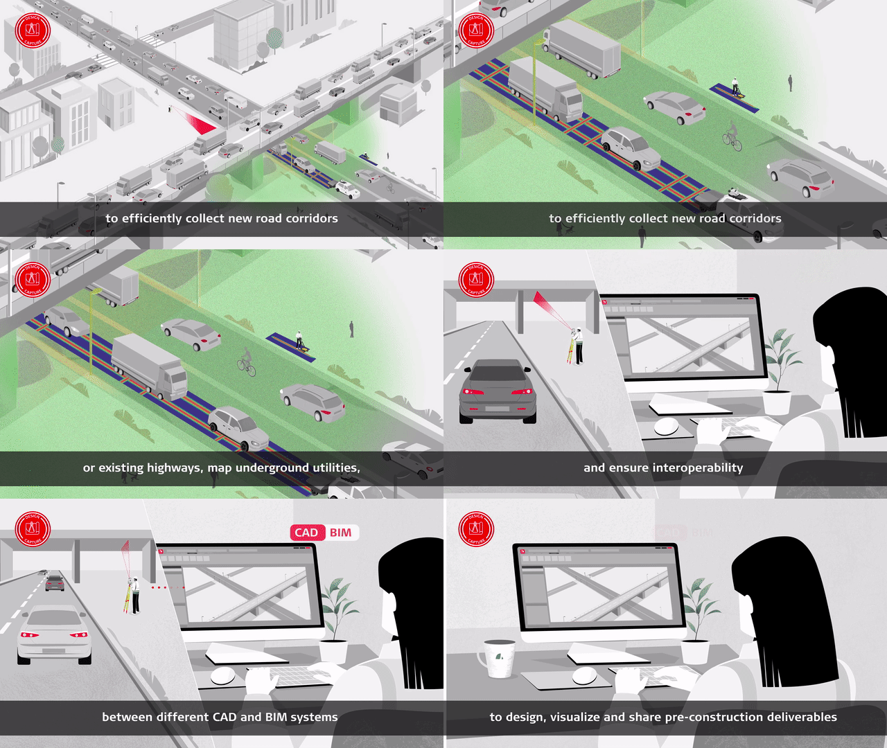
Design & Capture
Construct & Build
Operate & Maintain
In your own words
Mätlösningar
snabbt ökar både produktivitet och effektivitet.
snabbt ökar både produktivitet och effektivitet.


