.jpg?sc_lang=ja-jp&hash=6CE4C567B26603342F16281E4F645BFB)


Map-centric clarity
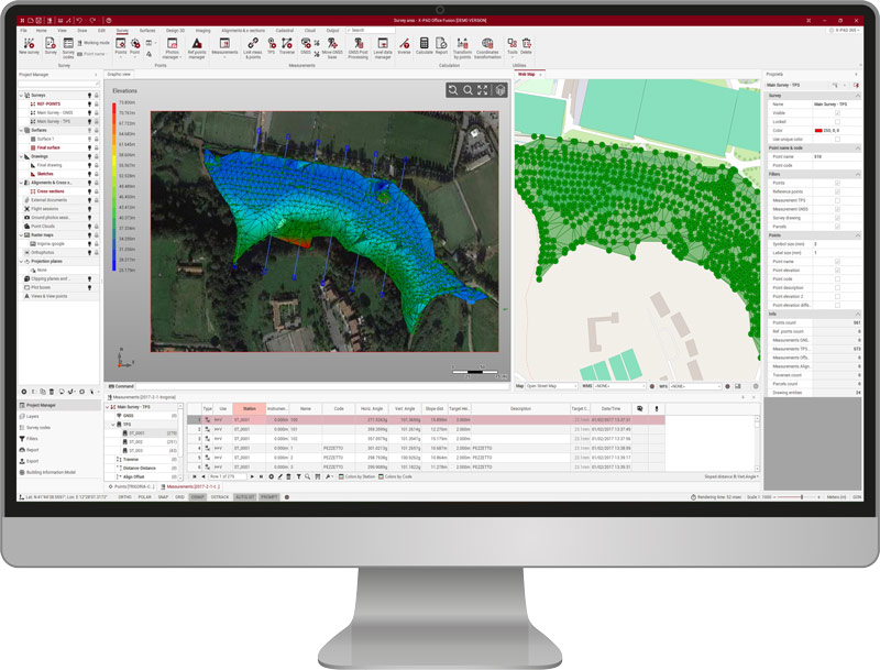
Work naturally in a map-centric CAD environment. Switch between 2D and 3D views, add online maps for context, and navigate projects with greater clarity.


Focus on performance with workflow-led field software built for everyday measurement and stakeout

Leica X-PAD software brings measurement, positioning, and stakeout together in a focused field experience. A consistent way of working across everyday field tasks keeps information, tools, and project data connected, so users spend less time navigating software and more time getting work done.
X-PAD combines CAD, mapping, BIM models, field calculations, and visual surveying in one easy-to-navigate software. Flexible visualisations keep every task in context, making it easy to understand project information, check results, and move naturally between measuring, positioning, and verification without changing applications or losing your place.
The same experience carries across compatible Leica GNSS and total stations, so changing sensors doesn’t mean changing the way you work. A CAD-centric interface, common workflows, and shared project data reduce the effort of switching between instruments, while giving every user the tools and clarity they need for the task at hand.
The result is software that keeps the focus on the work itself. Core capabilities stay close at hand, everyday tasks remain straightforward, and added clarity comes without extra complexity.

Work naturally in a map-centric CAD environment. Switch between 2D and 3D views, add online maps for context, and navigate projects with greater clarity.

Intuitive stakeout helps you reach every point quickly. Paired with the Leica GS11, live camera view and AR guidance make navigation even faster and easier.

Bring official map data into every project. X-PAD connects to Web Map Services (WMS), so you can overlay public maps and see measurements in context.

Draw and work with points, lines, circles, and surfaces, manage offsets, and more – directly in X-PAD.
How does X-PAD enable focused performance? With clear ways of working through core measurement and positioning tasks across instruments.
Leica X-PAD is built around bringing focus and clarity to the measurement tasks you perform every day.
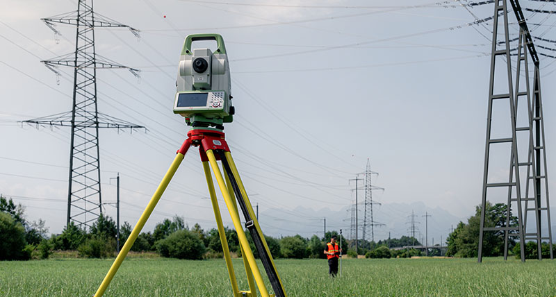
Whether you are setting control for a UAV survey, staking out for road construction, conducting a topographic survey, or recording utility and infrastructure assets, X-PAD provides clear workflows with flexible visualisations, CAD tools, and imaging capabilities. You’ll move through your work with the ease that comes from full focus on the task before you.
Common workflows and interfaces carry across compatible Leica GNSS and total stations, reducing time spent learning and switching between software and making it easier for every member of the team to work productively.
That consistency extends across the entire job. From collecting measurements to checking results before leaving site, X-PAD keeps each step connected in one working environment. The result is less time managing software and more time completing work with confidence that the job has been done right.
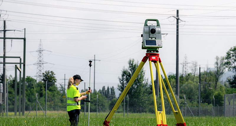
With X-PAD, trust starts with software you can rely on and extends through every part of the Leica Geosystems ecosystem.
Leica X-PAD builds on years of proven measurement workflows, giving teams software they can rely on every day. As part of a complete Leica Geosystems measurement ecosystem, it brings together trusted software, hardware, services, and support.
Compatible sensors, Hexagon SmartNet GNSS corrections, Hexagon GeoCloud services, and X-PAD Fusion work together to keep your data connected, your equipment performing reliably, and your team supported from field to office. The result is a solution you can depend on throughout every stage of the measurement workflow.
Leica X-PAD Fusion is the office software that completes the Leica X-PAD workflow, transforming field measurements into accurate project deliverables.
Import data from Leica GNSS and total stations to process measurements, manage CAD data, prepare stakeout information, and review survey results in one desktop environment. By connecting field and office, X-PAD Fusion helps reduce manual data handling and keeps projects moving efficiently.
Produce the deliverables your customers need, including 2D drawings, surfaces, reports, and other project outputs. With support for common industry formats, X-PAD Fusion makes it easy to share results and integrate with existing workflows.
Leica X-PAD supports the tasks that measurement professionals perform every day across a wide range of applications. Whether you're collecting data, setting out designs, or verifying completed work, X-PAD provides dedicated workflows.
Common applications include:
Combined with the Leica GS11, the Leica GS05, and the Leica TS13, X-PAD provides a consistent experience across compatible Leica sensors, so teams can move between different measurement applications without changing the way they work.
X-PAD can be installed on supported Android tablets using the installation package available through the myWorld Leica Geosystems customer portal. After downloading the software, follow the installation wizard and activate your license using the entitlement details provided with your purchase. For detailed installation instructions and supported devices, refer to the X-PAD documentation or contact your local Leica Geosystems representative.