Real to digital in Dublin

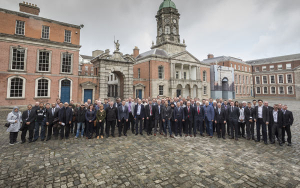
Over 100 airborne mapping professionals from more than 20 countries gathered from 22 – 24 February to get the latest technology updates, network and discuss the future of the industry. This niche industry conference was hosted by Ordnance Survey Ireland (OSI) and took place at the Dublin Castle.
New this year, Leica Geosystems offered hands-on workshops on HxMap, the unified imaging and LiDAR post-processing workflow. Further highlights included the presentation on the single photon LiDAR airborne sensor SPL100, which was launched at ILMF last week.

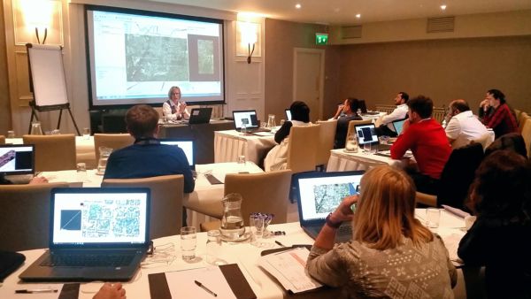
Hands-on workshop for the HxMap unified post-processing platform.
Future Talk
During the Future Talk panel discussion, moderated Dr. Isabella Toschi, Researcher, 3DOM, Fundazione Bruno Kessler, the panellists discussed Smart Cities and whether our industry is ready for the requirements and technology of the future.
Panellists included:
-
John Welter, President Hexagon Geosystems, Geospatial Solutions Division, Switzerland
-
Andy Mc Gill, General Manager for Surveying and Remote Sensing, OSI, Ireland
-
Philip Minnaar, Manager Airborne Solutions, Geospace International, South Africa
-
Bruno Callabat, CEO, Technical Manager, APEI, France
-
Poul Nørgård, Vice President IBL Mapping Operation, COWI, Denmark
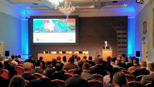
Andy Mc Gill, General Manager Surveying & Remote Sensing,
Ordnance Survey Ireland (OSI), host of the Airborne User Group
Meeting 2017, opening the conference
Networking and a bit of fun
The main goal of the Airborne User Group meeting is to bring the industry together to discuss hot topics and network with colleagues from countries across the EMEA region. The social event this year included a tour and dinner at the famous Guinness Storehouse, Dublin’s foremost tourist attraction.

More than 100 attendees, from 20 countries attended.


