Latest surveying technology to boost your productivity
Explore the latest technology that helps surveyors be faster and innovate workflows to meet client’s needs with fewer resources and outstanding quality. Being at the forefront of innovation goes beyond introducing new technology. Our commitment to innovation ensures the latest technologies are easily deployed to ensure outstanding product performance and quality.
New Leica TS20 robotic total station
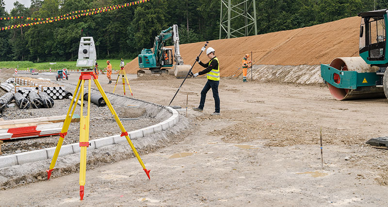
The Leica TS20 defines the next generation of robotic total stations: efficient and reliable in all conditions. A powerful technology platform with AI-powered automation and seamless communication makes the TS20 a productivity powerhouse for surveyors. Advanced automation and robustness enable outstanding performance in challenging environments, while wireless communication keeps cloud services always available and the TS20 in control.
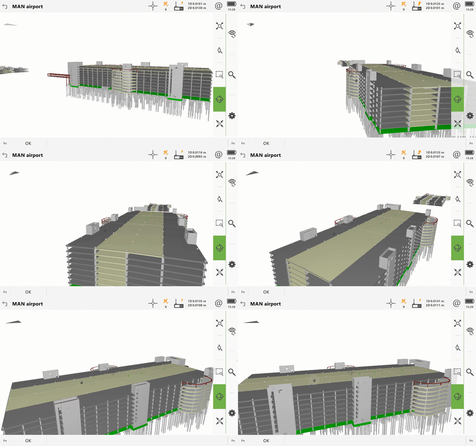
New Leica Captivate Field software v10
Leica Captivate version 10 supports the new Leica TS20 total station and its new features, plus takes the next step in Captivate's continuous improvement journey. A highlight of version 10 is the redesigned home screen, featuring a new layout to deliver a more user-friendly experience, with easier job selection, quick app access, and more available settings — making it easier to get started every time you turn on Captivate.
New GeoCloud Protect and updated GeoCloud Drive
GeoCloud Protect is a theft deterrence service for Leica TS20 total station that enables remote locating and locking of the instruments, rendering them unusable if stolen and easier to retrieve. GeoCloud Protect is fully integrated into the new GeoCloud Fleet portal.
The updated GeoCloud Drive works hand-in-hand with the TS20, enabling effortless data sharing and collaboration, including new functionality for working with external users.
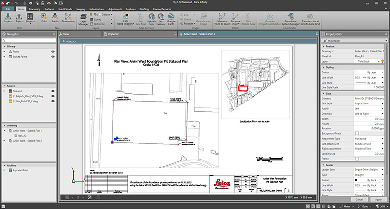
Leica Infinity Release - v5.0
Leica Infinity version 5.0 introduces enhanced features, including drafting support and streamlined workflows specifically optimised with Leica Captivate, to maximise the capabilities of the Leica TS20 total station.
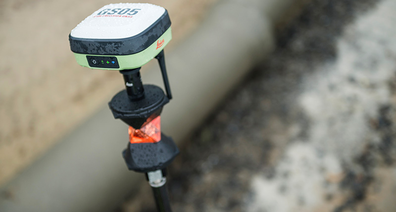
New Leica GS05 GNSS RTK Rover
Meet Leica Geosystems’ latest innovation, the Leica GS05 GNSS RTK Rover. A compact and lightweight smart antenna featuring calibration-free tilt compensation immune to magnetic disturbances and seamlessly integrates with numerous other Leica Geosystems' products. With an integrated 4G modem or UHF radio, an internal battery lasting up to 10 hours, weighing just 0.75 kg, and its ability to be used as a SmartPole, it enables efficient and all-day use. Trust in the GS05s quality, backed by Leica Geosystems' reliable customer care, to revolutionize your field measurements.
New Leica Captivate Field Tablet and Keypad
The new Leica GKP100 keypad and Leica CC180 tablet are now available. The GKP100 is a lightweight, detachable keypad designed for use with the Leica CC200, Leica CC180 and Leica CS30 Windows tablets, combining speed and a larger screen with the CS20 controller's ergonomic layout. Accompanying it is the robust 8-inch CC180 tablet, a high-performance, all-weather solution with a long-lasting battery, ideal for all positioning and measuring tasks when paired with Leica Captivate field software. Both products offer a seamless surveying experience.
New Leica Captivate Field software V8.00 Release
A surveyor’s field software is their greatest companion and Leica Captivate is always upgrading improving according to our surveyors’ wishes. The newest release of Leica Captivate introduces some features which are sure to please our surveyors and boost your productivity.
- Enhanced job management: Organise jobs with Sites
- Improved Windows PC & tablet usage and data transfer
- Workflow using IFC as tunnel design
- Enhancements to further streamline coding workflows
- Improved RTK performance in challenging environments
- Utilisation of AP20 tilt compensation in Setup routines
Get the latest update via myWorld, download directly from the customer portal.
New Leica Infinity Release – v4.1 now available for download
New features are now available in Leica Infinity v4.1, including the following:
- New Infrastructure Tunnelling Workflows: Combine tunnel design data with your Infinity project work for supporting Captivate Stake and Check Tunnel applications
- New Point Cloud Engine: work with billions of points
- Point Clouds from Images processing improvements
- Additional support for the Leica AP20 AutoPole with TPS tilted measurements and auto-height information
And many more additional features and improvements.
For more information about the Leica Infinity v4.1 release, download and read the release notes.
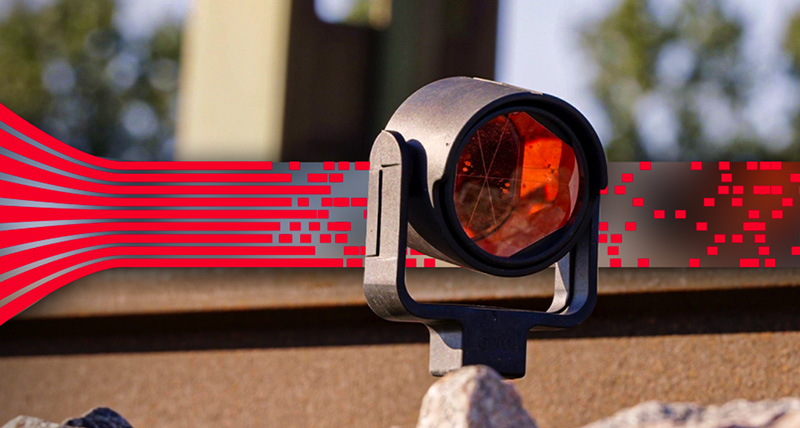
Streamline setup and increases configuration accuracy in Railway Monitoring
The new Leica GeoMoS Railway Template, helping surveyors make quick and informed decisions to intervene before major events occur. With the Railway Template, operators can easily configure all necessary computations to be generated automatically, reducing setup time from hours to just minutes. Keep surveyor time on the track to a minimum while enabling maximum data acquisition. Learn more about our newest software innovation.


.jpg?sc_lang=en-us&hash=B24882411F0CD8EA5B8AABFCF25F5485)