Thailand’s power infrastructure supports the country’s growing industrial, commercial and urban needs, with an extensive transmission network connecting power generation to users across the country. Substations form an important part of this network, bringing together electrical equipment, structures and connections within a single environment.
As infrastructure evolves, having a clear understanding of existing conditions becomes increasingly important. For complex and operational environments, detailed information about what exists on site can provide an important foundation for planning, documentation and future project activities.
The Complexity Behind What Keeps Power Moving
Power infrastructure brings together layers of electrical equipment, structures and connections within a concentrated environment. Understanding how these elements relate to one another can be challenging, particularly when working around high-voltage equipment or areas where access needs to be carefully controlled.
For maintenance, upgrades or new installations, teams need a clear understanding of existing conditions before work begins. When information is incomplete, additional measurements or site visits may be required, adding time and complexity to the workflow.
From Reality to a Digital View
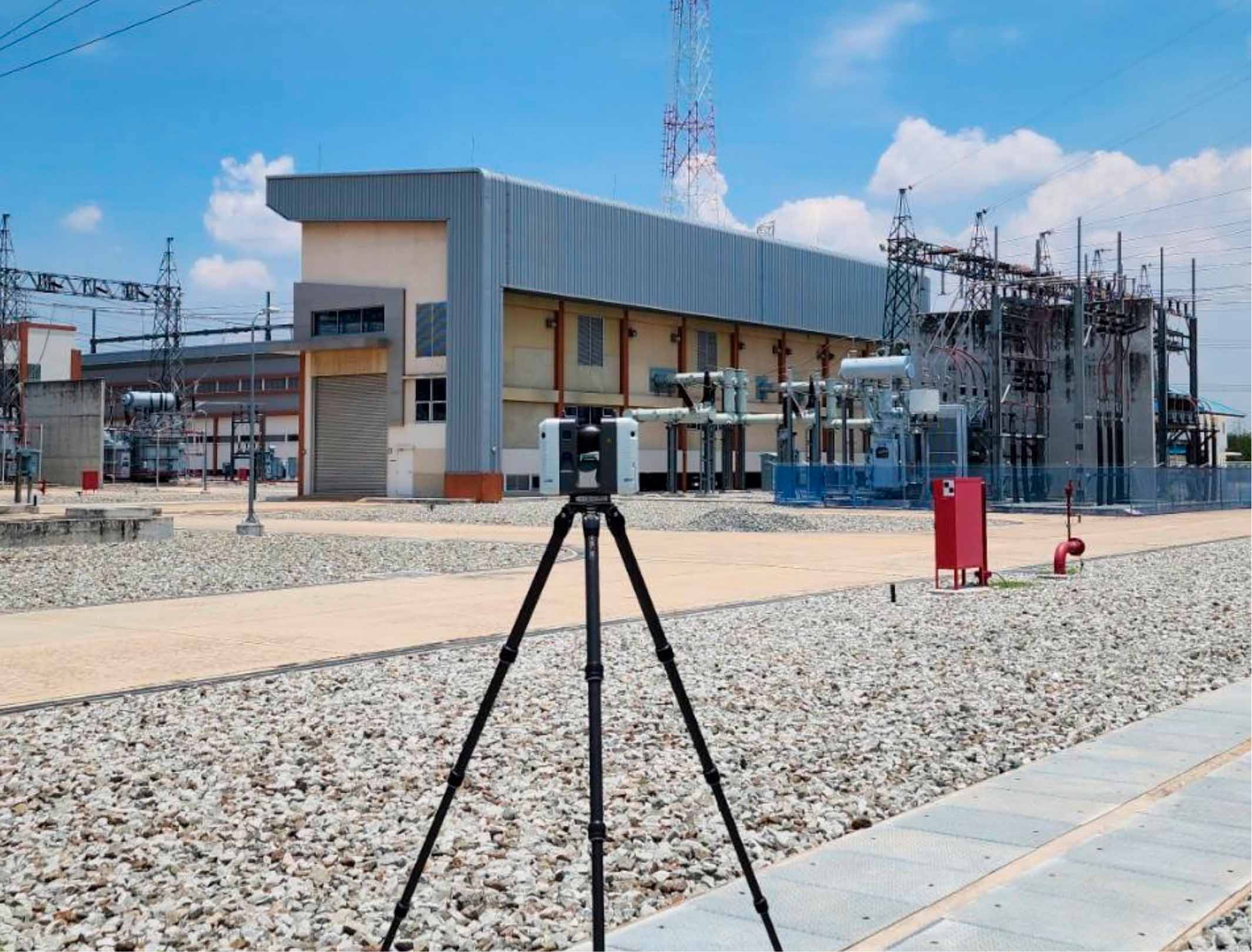
At a power infrastructure site in Thailand, RTC360 laser scanner was used to capture the existing environment from multiple positions across the site. The resulting data captured structures, equipment and surrounding areas as a connected three-dimensional dataset.
The captured information was then processed using Leica Cyclone REGISTER 360 PLUS to create a detailed point cloud and digital representation of the physical site. The software enables efficient registration and preparation of point cloud data, helping teams work with accurate and organised digital information.
The point cloud allows the infrastructure to be viewed as a whole, providing greater context around the position and relationship of different components. Using Leica Cyclone 3DR, the point cloud can also serve as a digital foundation for developing a detailed 3D model, helping teams visualise and analyse the existing environment.
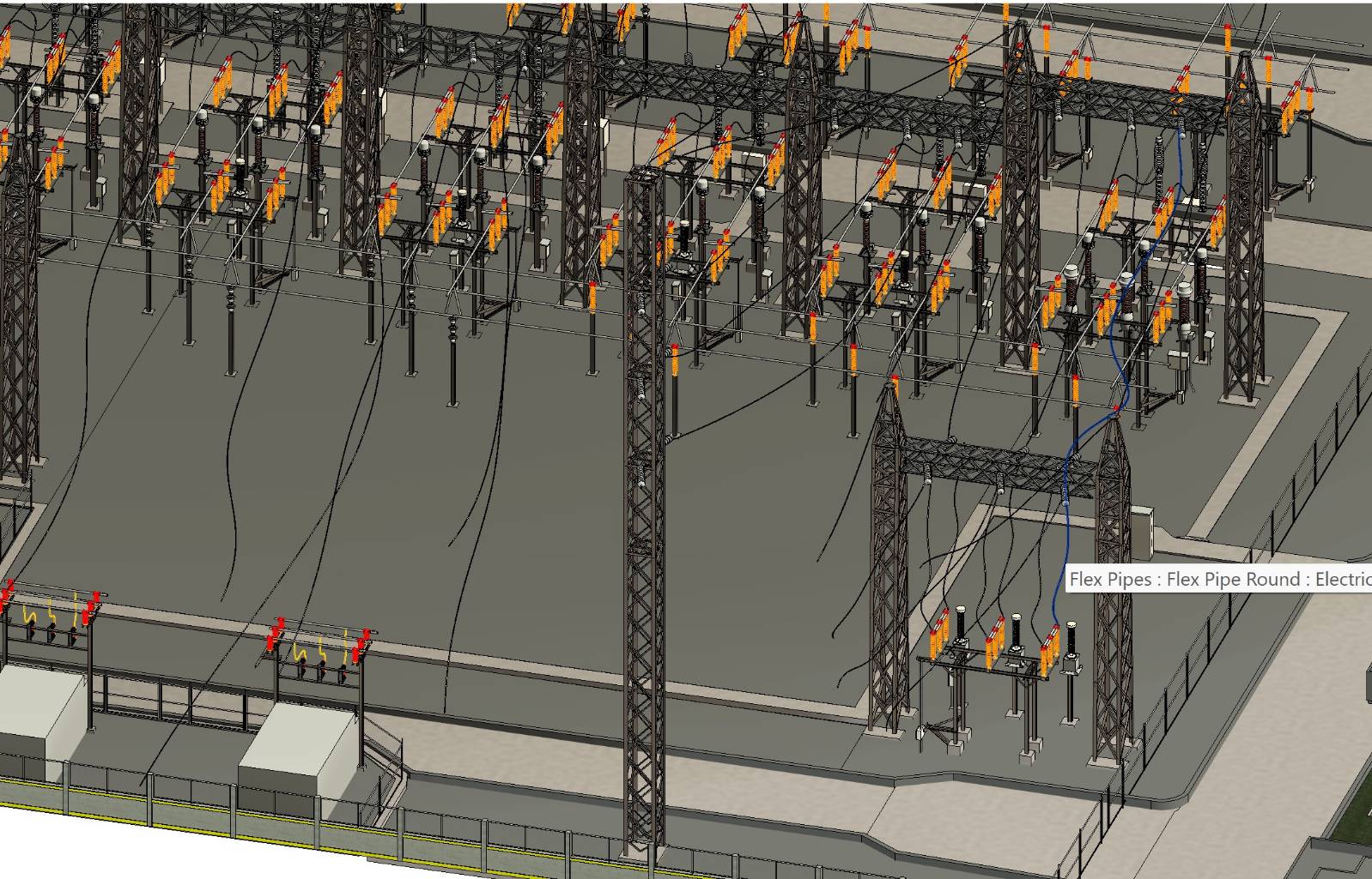
The resulting model brings the physical environment into a digital space, allowing teams to review existing conditions from different perspectives and work with the site beyond the field.
Beyond the Moment of Capture
The captured data can continue to support documentation, visualisation, planning and future project activities long after the fieldwork is complete. For complex electrical environments, a digital view also allows teams to review existing conditions before returning to the site.
From physical reality to point cloud and 3D model, the workflow turns complex infrastructure into digital information that can be viewed, understood and used beyond the field. When every detail connects, teams can see the bigger picture with greater clarity.


.jpg?sc_lang=fi-fi&hash=F21D7B20FB6B194EA8939B013A6725D8)
