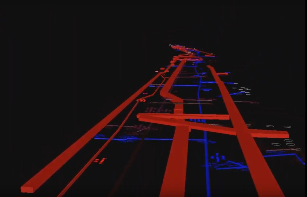
Subterra digitalizing utilities in a busy street of Zug
Full end-to-end solution from data collection to delivery

Utility detection experts know that capturing the data is just one step in the process. Processing, managing, and delivering the data are part of the workflow. Utility detection can be time-consuming, but the work can be completed efficiently with the right tools.
SUBTERRA GMBH, an underground detection company, has relied on detection devices in Germany, Liechtenstein and Switzerland for every stage of its construction projects. With a high level of data accuracy, the company locates and maps underground supply lines and structures. Cable detectors and other various geo-radar devices are used to determine the lines to the centimetre. By using different technologies, SUBTERRA can also detect non-metallic supply lines. The location of the detected lines can be marked directly on the floor for the customer, made available as a classic 2D plan, or as a digital 3D model.
SUBTERRA was requested to digitise a street in the business district of Zug, Switzerland. The aim of the project was the acquisition and digitisation of the subsurface as a 3D model. This model will enable WWZ: Energie, Telekom, Wasser und E-Mobilität to plan a new district heating pipe underground with a considerable reduction of openings of the street and project time, including blocking the road for traffic and CO2 pollution through excavators.
The road to digitisation

The challenges of mapping 400 metres of a busy street in Zug, where the underground is full of utilities (electricity, water, sewage, gas, communications, etc.) go beyond utility detection; it includes finding the different utilities and mapping them in a congested area.
SUBTERRA used the Leica Ultra detection system, including a Leica Geosystems DA Transmitter, to detect the metallic lines as the exact determination of the depth was particularly important.
"We used the Leica Ultra cable locator to identify and mark the power and metal cables to have an initial overview of the underground utilities, we can give our customers information about the location of cables and metallic cables very quickly on-site," said Gordon Kopf owner of SUBTERRA.
The team also used the IDS Stream C and collected the data in 50 m long project segments to cover the entire area that needed to be scanned.
For the narrow areas, SUBTERRA used the Leica DS2000 utility detection radar. Together with the GPR, the team used GeoMax Zoom 90 robotic total station to provide georeferencing and a precise location of the buried utilities. They also GeoMax Zenith 35 pro to measure points where a vertical placement of the pole is not possible.
"Once we collected the data with the precision locator and GPR, which took us approximately 8 hours in total, we went back to the office and processed in just 20 hours the collected data with IDS GredHD and created the final report to deliver to the customer," said Gordon Kopf.

Full end-to end solution from data collection to delivery
Using a complete workflow for utility detection from Hexagon Geosystems, SUBTERRA (www.subterra.ch) delivered a 3D model of the underground utilities from that street on time and budget and also allowed to open new business opportunities carrying out additional projects in Switzerland, Germany and Austria.


