


Environmental Monitoring
Adaptable solutions for detecting unexpected movements to optimise risk management

Be assured with durable and robust sensors for long-term monitoring

Be assured with durable and robust sensors for long-term monitoring

Be assured with durable and robust sensors for long-term monitoring

Be assured with durable and robust sensors for long-term monitoring

Be assured with durable and robust sensors for long-term monitoring
Leica Geosystems provides easy access to adaptable monitoring solutions that are tailored to your requirements.
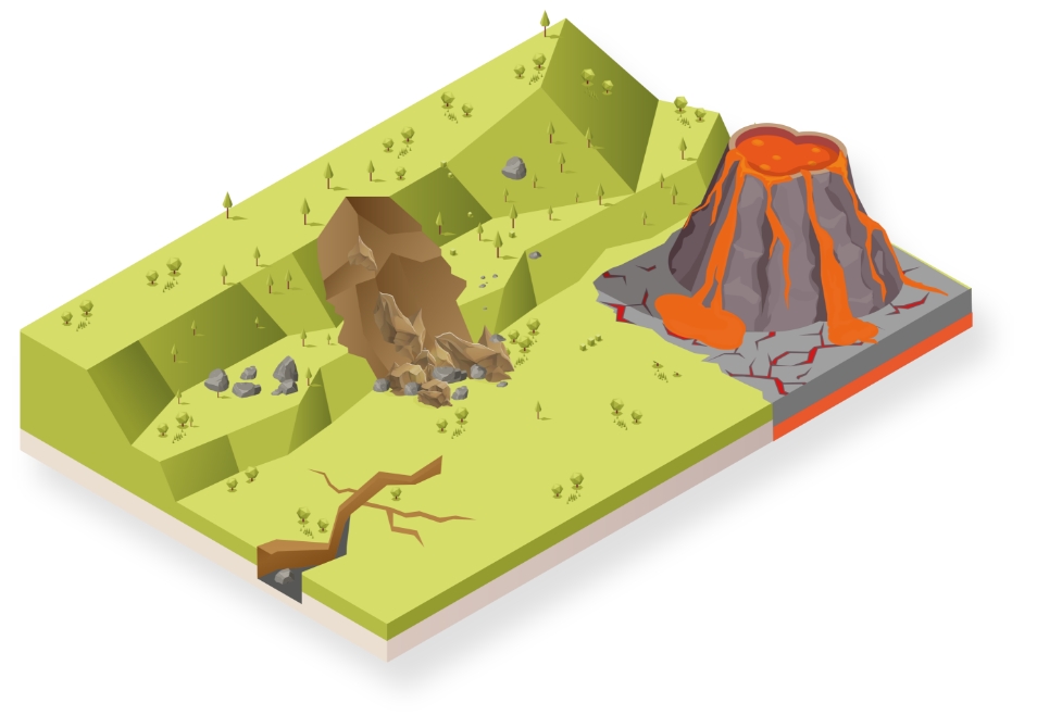
Be it monitoring for provision of information to experts for early warning of natural hazards like landslides and seismic or volcanic activity, information to potentially predict failures or aftermath data for studies and better understanding, we have the right solution for you. With the ability to provide a full solution, all from one reliable vendor, we provide software that is developed to work seamlessly with in-house, high-end sensors, like total stations and GNSS, as well as other 3rd party geotechnical and environmental sensors, along with expert support and consultation. Monitor with real-time information and rely on reports generated automatically based on a customisable schedule. Special reports with inverse velocity, hazard and displacement maps, as well as velocity limit check provide additional insight into the acceleration of landmass, which increases the risk of failure.
“The quality of Leica Geosystems solutions is great, but the support for me is the biggest benefit. Due to the Active Customer Care support, we can quickly and efficiently handle any problems we encounter on site.”
Clemens Tierie,
Survey Manager for Strukton
Sub-segments

Monitoring of slopes and landslide areas
Deformation monitoring provides real-time information about slope movements and allows informed decisions based on facts, allowing rapid and critical decisions to ensure the highest safety and effective management of risk. Read more about the complete solution for monitoring in a natural environment.
Deformation monitoring provides real-time information about slope movements and allows informed decisions based on facts, allowing rapid and critical decisions to ensure the highest safety and effective management of risk. Read more about the complete solution for monitoring in a natural environment.
Case Studies

Real-Time Monitoring Advances Landslide Risk Management
Residents of British Columbia’s Old Fort were shocked by the roar of a landslide
Residents of British Columbia’s Old Fort were shocked by the roar of a landslide

Monitoring Pays Off
Thanks in part to Leica Geosystems’ Deformation Monitoring solution GeoMoS, local authorities were able to evacuate the valley’s industrial zone and to close the A2 highway and several cantonal roads at an early stage.
Thanks in part to Leica Geosystems’ Deformation Monitoring solution GeoMoS, local authorities were able to evacuate the valley’s industrial zone and to close the A2 highway...

Rock Solid
100,000 cubic meters of rock slid down a rocky scarp near a hydroelectric facility northeast of Campbell River, British Columbia, Canada.
100,000 cubic meters of rock slid down a rocky scarp near a hydroelectric facility northeast of Campbell River, British Columbia, Canada.

Monitoring a landslide recovery operation
The benefit of combining technologies; the detection speed of radar and the reliability of interpretation of movements via measurements from total stations.
The benefit of combining technologies; the detection speed of radar and the reliability of interpretation of movements via measurements from total stations.
Software Products

Leica GeoMoS
Flexible automatic deformation monitoring software solution.
Flexible automatic deformation monitoring software solution.

Leica GeoMoS Edge
Monitoring software for autonomous sensor control and uninterrupted data logging in the field.
Monitoring software for autonomous sensor control and uninterrupted data logging in the field.

Leica GeoMoS Now!
Analyse & visualise monitoring data from everywhere.
Analyse & visualise monitoring data from everywhere.

Leica GNSS Spider
The core of the continuously operating reference station network
The core of the continuously operating reference station network

Leica GeoMoS Adjustment
Automatic adjustment and deformation analysis for monitoring.
Automatic adjustment and deformation analysis for monitoring.

Leica CrossCheck
A multi-purpose GNSS analysis tool for QC and monitoring.
A multi-purpose GNSS analysis tool for QC and monitoring.

InSAR Service
Integrated use of satellite and ground-based SAR enables mining professionals to extend the concept of safety monitoring in space and time.
Integrated use of satellite and ground-based SAR enables mining professionals to extend the concept of safety monitoring in space and time.
Hardware Products

Leica Nova TM60: Monitoring Total Station
Engineered for deformation monitoring
Engineered for deformation monitoring


Geotechnical Sensors
Automated geotechnical sensor measurement & data acquisition
Automated geotechnical sensor measurement & data acquisition

Leica ScanStation P50
The fastest and safest, long-range 3D laser scanner.
The fastest and safest, long-range 3D laser scanner.

Leica Nova MS60
The ultimate all-rounder, a scanning, self-learning total station with GNSS connectivity and digital imaging
The ultimate all-rounder, a scanning, self-learning total station with GNSS connectivity and digital imaging

Leica M-Com
Plug and play communication solutions for monitoring.
Plug and play communication solutions for monitoring.

RockSpot
RockSpot is an innovative radar system able to locate, track and alert on rockfalls, avalanches and debris flows in real time.
RockSpot is an innovative radar system able to locate, track and alert on rockfalls, avalanches and debris flows in real time.

IBIS-FM
Safely ahead of slope instability by reliably measuring mine movements
Safely ahead of slope instability by reliably measuring mine movements
Downloads