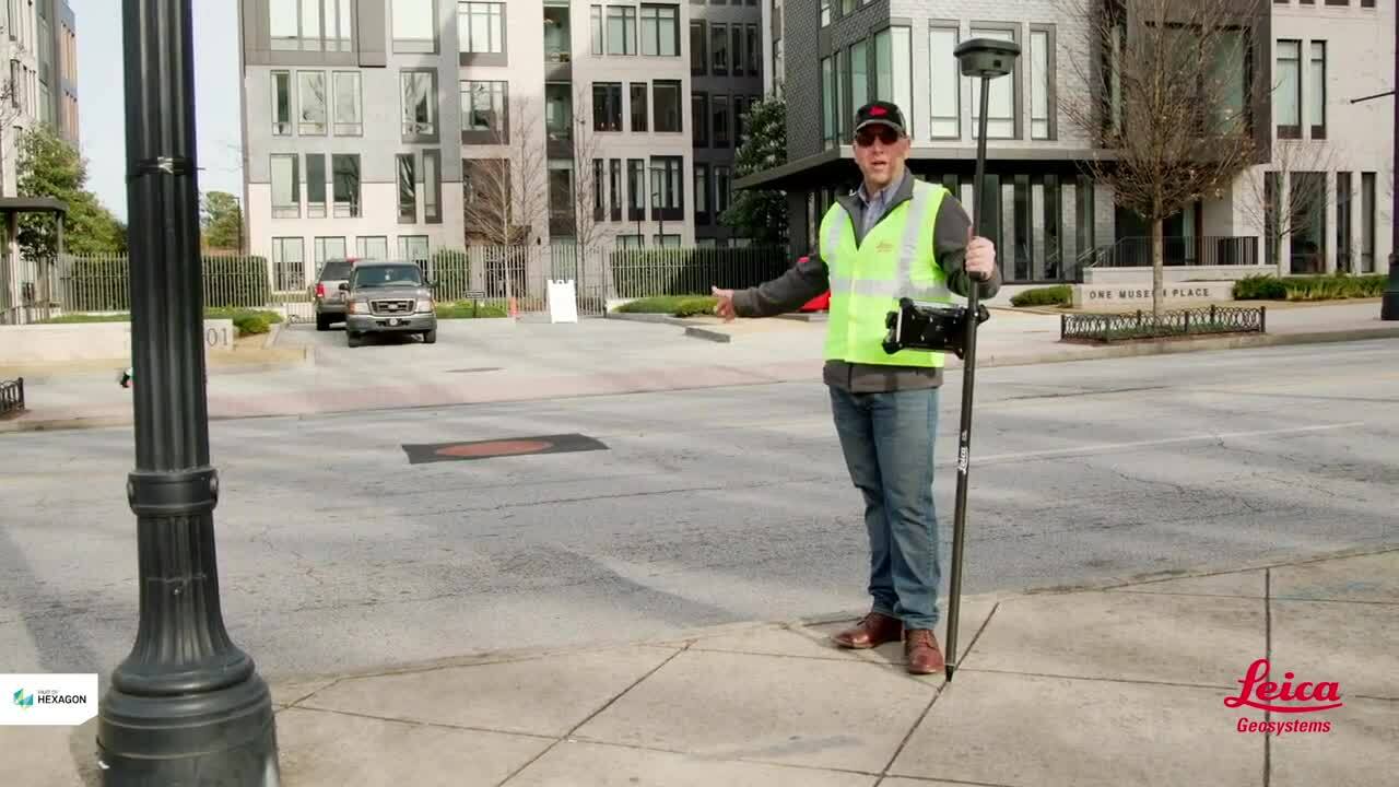
Leading GNSS technology
GNSS innovation to increase productivity and improve workflows
From the beginnings of GPS with post-processed data to the current multi-constellation GNSS and real-time results via HxGN SmartNet correction service, Leica Geosystems has been providing measurement solutions to surveyors. Continuous innovation, productivity and versatility of GNSS systems has increased exponentially. Leading the GNSS sensor fusion innovation, Leica Geosystems developed the world’s first GNSS antenna with integrated Inertial Measurement Unit (IMU) to deliver true tilt compensation for survey and stake-out. The world’s first GNSS sensor with integrated IMU and camera gives the ability to visually measure points that couldn’t be reached with the pole tip.
Invest in the best GNSS
Modern surveying equipment represents a significant investment. The lowest Total Cost of Ownership (TCO) is of great importance when deciding to invest. Lowest purchase cost doesn’t always represent the best value for the user or the entire company. When the highest productivity is not required, standard GNSS sensors that retain the highest quality over their lifetime represent great value. For standard GNSS measurements, the GS16 and GS07 with Leica Captivate field software provide a powerful measurement solution using either HxGN SmartNet real-time corrections or SmartLink if RTK corrections are not available. All GNSS solutions come with the same Captivate user experience, high-quality Leica Geosystems support, service and training that ensure the time spent onsite is efficient.
One GNSS sensor for many applications
On many occasions, it’s necessary that survey crews have both a total station and a GNSS, as there’s almost always a point that can’t be measured directly with GNSS. That was all before the introduction of the Leica GS18 I, a GNSS RTK rover that combines IMU and a camera to measure points that can’t be accessed directly. Rather than using complicated double distance measurements for remote points, or setting-up a total station, the Leica GS18 I can measure points that can be seen within 2-10 m from the GNSS antenna. With such flexibility, deployment of equipment and personnel can be simplified using the multi-talented Leica GS18 I.
Learn how to stay safe on site
Work on site can often involve being close to busy streets or close to deep trenches. Learn how to measure points fast in the middle of a busy road, or down a deep trench from a safe position using GNSS with visual positioning with the latest GNSS innovation – the Leica GS18 I. Furthermore, discover how to significantly increase productivity and measure points from a safe distance as you don’t need to hold the pole vertical with the GS18 I and GS18 T.
Discover the best GNSS systems for your needs. Talk to one of our experts to find the best solution for you.


