


Monitoring for railway
The complete solution for monitoring in a rail environment


The demand for capacity and efficiency on railways is ever-increasing, continually driving the need for maintenance and upgrade of the existing rail infrastructure, as well as expanding the network with modern, high-speed routes.
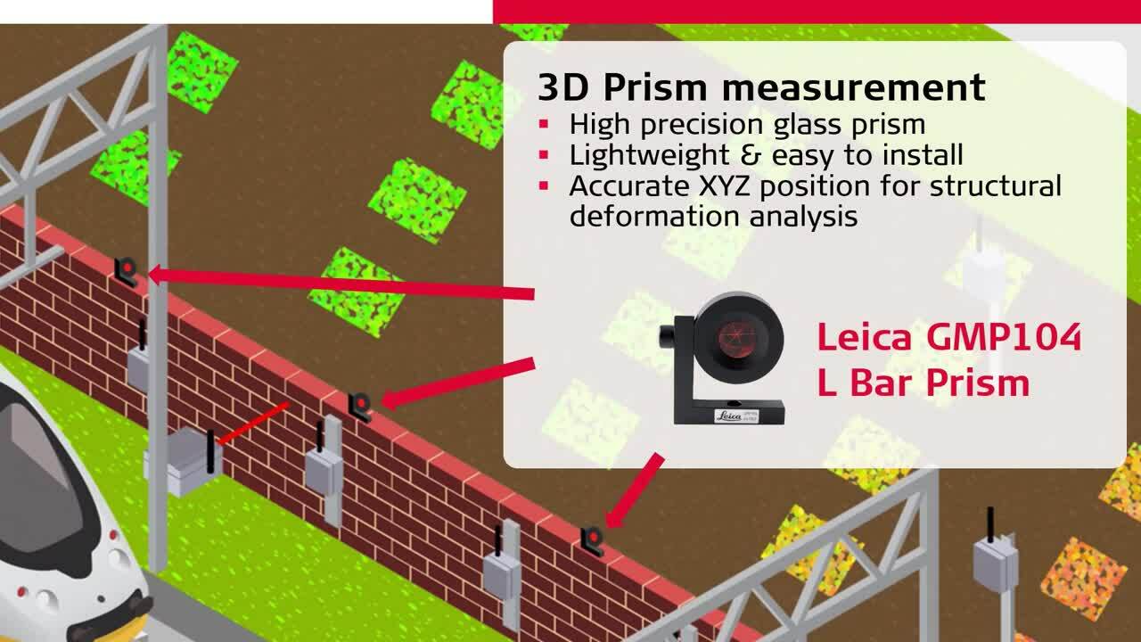
Deformation monitoring provides real-time information about changes in the track geometry (alignment horizontal / vertical profile, differential shifts / cant, track twisting / torsion), allowing rapid and critical decisions to ensure the highest safety, which is crucial especially when the railway is operational.
The combination of data from geodetic monitoring sensors (imaging total stations, scanning MultiStations) with geotechnical and environmental sensors (tilt sensors, distance sensors, water level gauges, etc.) and interferometric radar, delivers the complete picture about the movements happening in real time.
When is monitoring beneficial on railways?
- During maintenance and construction: any excavation or construction that takes place near a railway may cause movements that damage the infrastructure or affect the track geometry, thus putting operational trains at risk of derailment.
- To report hazard events: slope instability may lead to landslides and rockfalls, potentially obstructing the track and becoming a critical hazard.
- To assess environmental changes: variations in subsurface water levels may cause subsidence that affects the track geometry, causing disruption or hazards on the line.
- To evaluate the structural health: railway infrastructure such as bridges and tunnels are susceptible to changes over time, which may affect the infrastructure integrity and lead to problems such as reducing clearance or even obstructing the railway.
This video presents typical generic examples of monitoring installations on railway infrastructure, yet every monitoring project requires its own specifically assessed and designed monitoring system thus specialists should be consulted before any installation.
事例

Railway and platform monitoring during construction
Leica Geosystems technology puts itself at the service of rail
Leica Geosystems technology puts itself at the service of rail

Monitoring & the future of heavy construction
Käppeli Digital from Sargans has expanded its service offering. By adding monitoring, they can undertake monitoring projects internally. Learn all about how they map, plan and complete processes and tasks.
Käppeli Digital from Sargans has expanded its service offering. By adding monitoring, they can undertake monitoring projects internally. Learn all about how they map, plan...

Monitoring Melbourne’s railways
City infrastructures are not built overnight. In between planning, design and construction, there are other crucial activities – just like monitoring happening at the same time.
City infrastructures are not built overnight. In between planning, design and construction, there are other crucial activities – just like monitoring happening at the same...
ソフトウェア製品


Leica GeoMoS Edge
自律型センサーの制御と、現場での継続的なデータ記録のためのモニタリング用ソフトウェア。
自律型センサーの制御と、現場での継続的なデータ記録のためのモニタリング用ソフトウェア。

ハードウエア製品


Leica ComBox60
An intelligent autonomous device for communication and power management.
An intelligent autonomous device for communication and power management.

Geotechnical Sensors
Automated geotechnical sensor measurement & data acquisition
Automated geotechnical sensor measurement & data acquisition

Leica Nova MS60
GNSS 接続性およびデジタルイメージングに対応し、スキャニングとセルフラーニング機能を搭載する究極の万能トータルステーション。
GNSS 接続性およびデジタルイメージングに対応し、スキャニングとセルフラーニング機能を搭載する究極の万能トータルステーション。

Leica LS15 & LS10
Digital levels with industry-leading accuracy.
Digital levels with industry-leading accuracy.
