I felten, hvor nøjagtighed og effektivitet er afgørende, danner Leica Geosystems 3D-laserscannere grundlaget for din digital reality. Vores sensorer er specialudviklet til at indsamle punktskydata og billeder i høj opløsning, og de muliggør detaljerede indsigter og analyser.
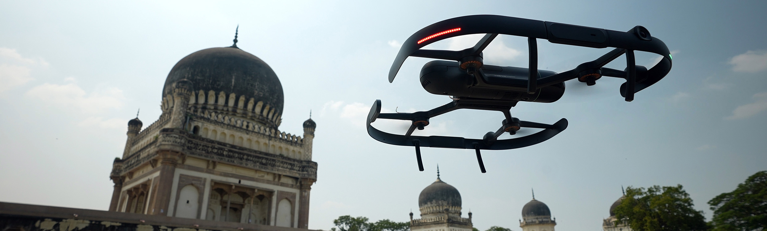
Højpræcisions- og højtydende landlaserscannere kan omhyggeligt kortlægge store landskaber og komplekse strukturer over lange afstande. Vores håndholdte enheder tilbyder fleksibilitet med mobilitet og førstepersonsperspektiv, som er ideelt til at indfange detaljerne i komplicerede indendørs rum. Til udendørs brug registrerer flyvende laserscannere omfattende feltdata fra utilgængelige vinkler, og vores modul til mobile og robotstyrede enheder forbinder scanning og autonomi.
Hver scanning styrker dit digital reality-fundament, og udvider potentialet med omfattende datasæt, efterhånden som de bevæger sig gennem flowet ind på kontoret og i skyen.
Landlaserscannere
Højtydende præcisionssensorer, der indsamler billeder i høj opløsning og detaljerede punktskydata, registrerer komplekse miljøer til uovertruffen indsigt og analyse.
Mobile laserscannere
Sensorerne indfanger detaljerede 3D-miljøer på farten og strømliner dataindsamling i forskellige miljøer, fra komplekse interiører til omfattende udendørsområder etc.
Kan du ikke finde det, du leder efter? Stil vores eksperter et spørgsmål.