By Stefan Ullrich
Over the past 20 years, GNSS correction services have evolved from a specialist surveying tool into foundational infrastructure across multiple industries. Today, sectors such as surveying, construction, agriculture, industrial automation, robotics, and emerging autonomous systems all rely on high precision positioning to drive productivity, safety, and digital transformation. As tolerances tighten and automation increases, reliability and continuity have become just as critical as accuracy.
For professionals using high-precision positioning, the correction service is not just a technical input. It affects whether crews can keep working, whether measurements can be trusted, and whether support is available when something in the workflow goes wrong.
SmartNet’s two decade evolution reflects this broader shift. Sustained investment in dense reference station networks, advanced network processing, new satellite technologies and global operational support has enabled professional users across industries to depend on GNSS corrections as always on infrastructure − supporting everything from high risk construction projects and precision farming to robotic platforms and autonomous operations.
Three ways reliable GNSS corrections protect professional work
For teams that depend on high-precision positioning, the value of a correction service goes beyond the correction signal itself. It shows up in three practical ways:
1. Work doesn’t stop
Reliable correction services help crews, machines and systems continue working when positioning is business-critical and conditions change.
2. Precision can be trusted
Consistent, repeatable positioning depends on more than stated accuracy. Network design, processing intelligence and service resilience all affect confidence in the result.
3. Support comes from one accountable source
As correction services become part of daily operations, professional monitoring, service communication and support help users resolve issues faster and reduce uncertainty in the field.
At a glance: why this matters
- Real-time, reliable GNSS corrections enable repeatable, trustworthy positioning for everything from surveys with RTK rovers, to instantly georeferenced mobile mapping data and autonomous operation for machine control and agriculture.
- Network design, processing intelligence, and service resilience matter as much as stated accuracy, especially for applications like machine control, precision agriculture, and robotic navigation, where positioning must remain stable throughout continuous operation.
- Continuity strategies such as RTK, RTK bridging, and PPP are essential wherever operations depend on uninterrupted positioning, helping keep construction machinery, autonomous platforms, and field operations running even during temporary connectivity loss.
- Proactive monitoring and professional support distinguish infrastructure-grade correction services from basic signal access, enabling rapid issue detection, backup failover, and real-time service visibility for surveyors, contractors, and fleet operators.
Benefit 1: Precision can be trusted when reliability is built in
Centimetre level accuracy is now widely achievable with professional GNSS correction services, typically around 1–2 cm horizontally and 2–3 cm vertically under normal conditions. This level of precision underpins applications ranging from boundary surveys and construction layout to precision agriculture guidance, robotic navigation, and autonomous system validation.
What increasingly separates correction services is not headline accuracy, but reliability and repeatability in real world environments.
As Francesco Mattoni, senior product engineer and GNSS data processing expert explains:
"Network density plays a central role in reliability, and it’s why SmartNet is always expanding. Shorter baselines between rovers and reference stations improve atmospheric modelling and error mitigation and provide redundancy in case of single station outages."
Altogether, this strengthens the performance for machines, vehicles, and systems that operate continuously at scale.
For industries where rework, downtime, or misalignment have direct cost and safety implications, network reliability directly affects operational outcomes.
What makes trusted precision possible: network intelligence
High quality GNSS corrections depend on far more than reference station hardware. The computational layer behind the network determines how effectively raw satellite data is transformed into consistent, high precision positioning.
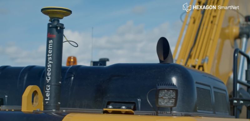
SmartNet is powered by Leica GNSS Spider software, which continuously models data from multiple reference stations in real time to calculate corrections. “Spider is the engine that transforms raw satellite signals into something actionable,” says Frank Pache, senior product manager for GNSS infrastructure solutions at Leica Geosystems. “On their own, reference stations only provide observations. But through advanced network modelling, Spider turns that data into precise corrections. That’s what enables our users to reliably achieve consistent, centimetre-level positioning in the real world.”
Over the past two decades, this processing has evolved from localised deployments to distributed, cloud based environments with redundancy across data centres.
This architecture supports a wide range of use cases − from surveying equipment to machine control systems, agricultural machinery, robotic platforms, and autonomous vehicles − where consistent, predictable positioning is essential for automation and system integration.
Benefit 2: Work keeps moving when conditions change
Traditional network RTK assumes stable, uninterrupted data connectivity. In practice, many industries operate in environments where this cannot be guaranteed, like large construction sites, rural farmland, industrial facilities, remote locations, or dynamic urban settings.
Modern GNSS correction services therefore rely on layered positioning strategies:
- RTK for real time, high accuracy positioning
- RTK bridging to maintain centimetre level accuracy during short connectivity interruptions
- Precise Point Positioning (PPP) for high accuracy positioning independent of local RTK infrastructure
This layered approach supports continuity not only for surveyors and contractors, but also for automated machinery, robotic systems, and emerging autonomous applications where uninterrupted positioning is critical to safety and performance.
Benefit 3: Support reduces uncertainty when positioning matters
As GNSS corrections become embedded in operational and automated workflows, service delivery extends beyond signal provision.
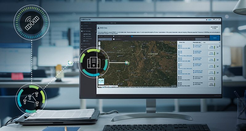
“Running a correction service at scale is inherently complex,” explains Robert Martin of Leica Geosystems, who was part of the core team that launched SmartNet in 2006 and continues to lead its development. “As coverage expands, so does the challenge of maintaining quality while supporting a growing range of applications. This is what’s driving us to take these services to the next level.”
Professional networks are continuously monitored to detect issues early and switch users or systems to backup services when needed, often without interruption. Clear escalation pathways connect local partners, regional teams, and global support centres
For industries operating around the clock − such as agriculture during critical seasons, industrial automation, or autonomous system testing − 24/7 oversight, transparent communication, and defined accountability are essential components of infrastructure grade positioning services.
What to look for in a modern GNSS correction service
When GNSS corrections support multiple industries and automated workflows, evaluation criteria extend beyond basic availability. Start with the questions that affect the work, then look for the service capabilities that answer them.
1. Will the network support reliable results where crews actually work?
Dense reference station spacing improves accuracy and resilience, particularly for applications that depend on precise elevation control.
2. What turns satellite observations into consistent positioning?
Advanced network processing software is essential for delivering consistent results across human-operated tools, machines, and autonomous systems.
3. What happens when connectivity changes?
Support for RTK, RTK bridging, and PPP enables uninterrupted operation across varied environments and connectivity conditions.
4. How are reliability and uptime protected?
Distributed, cloud based processing and backup data centres reduce the risk of service interruptions affecting operations or automation.
5. How are issues detected and escalated?
Continuous system monitoring and defined escalation paths help protect uptime for time critical and automated operations.
6. How does the network keep users informed?
Access to service notifications, live network status, and field support tools through a mobile app helps surveyors and other professionals work without interruption.
7. Can the service support future workflows?
Well-defined interfaces support integration into enterprise systems, machine control platforms, and autonomous workflows.
A mature foundation for a converging ecosystem
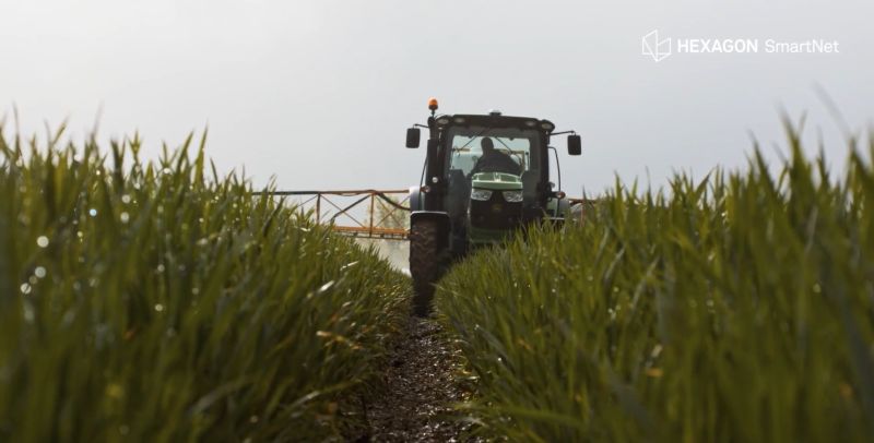
Surveying and construction are no longer the only sectors dependent on high accuracy positioning. Agriculture, industrial automation, robotics, and autonomous systems increasingly rely on GNSS corrections as a shared foundation.
As Hexagon SmartNet marks 20 years of operation, the milestone reflects more than longevity. It represents sustained investment in network design, computational intelligence, continuity, and global support − aligned with the increasingly automated, data driven nature of modern industries.
For professional users, the question is not only whether a correction service can deliver centimetre-level positioning. The practical question is whether a correction service helps protect the work. SmartNet’s value is built around reliable continuity, trusted precision, and professional support. It helps users keep working, trust the results, and reduce uncertainty when positioning matters.
Get in touch with a SmartNet expert to learn more.
About the author:
Stefan Ullrich is product manager, Positioning Services at Hexagon SmartNet, where he helps shape the strategy and delivery of GNSS correction services for professional positioning applications worldwide. With a background in GNSS products, correction services, and precision technology, he brings extensive experience in supporting reliable, high-accuracy positioning workflows.