

Keep moving
Reliable Leica GNSS, tilt compensation, and dual hot-swappable batteries keep you measuring throughout the day with fewer interruptions.


.jpg?sc_lang=nn-no&hash=C4B57CB243B5CFA642A27ACAABBE2F33)
Vi introduserer en ny dimensjon innen reality capture og en ny måte å jobbe med 3D-laserskanning på.
Visual surveying meets trusted GNSS performance


Reliable Leica GNSS, tilt compensation, and dual hot-swappable batteries keep you measuring throughout the day with fewer interruptions.

Live camera imagery and AR guidance overlay stakeout information onto real site context, helping you find every point faster and with greater clarity.

Leica X-PAD unlocks the full potential of the GS11, combining trusted GNSS with intuitive visual surveying workflows that simplify measurement, stakeout, and field verification.

Whether using images, a tilted pole, or the integrated laser, the GS11 makes it easier to capture points in difficult, obstructed, or hard-to-reach locations.

Review captured points, perform AR quality checks, and confirm measurements on site so you can leave knowing the job is complete.

The GS11 combines dependable GNSS performance with global support and partner network, field-proven X-PAD workflows, and the reliability professionals expect every day.
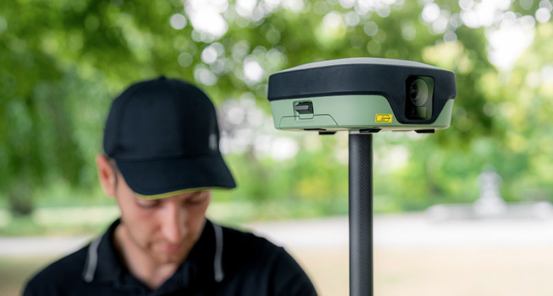
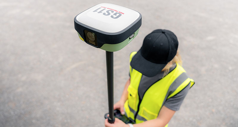
The Leica GS11 is available in different variants to suit your surveying and stakeout needs. The GS11 I features dual cameras and supports visual surveying with Leica X-PAD field software, including overlaying measured points or design data on the live camera view, measuring points from images and staking out with live AR guidance. It also features tilt compensation and laser measurement. The GS11 T offers tilt compensation for fast, efficient point measurement without levelling the pole, but does not include imaging capabilities.
Additional configurations are available. View the GS11 data sheet for details on available variants and specifications
Visual stakeout combines the Leica GS11's dual cameras with Leica X-PAD to overlay stakeout guidance onto live camera imagery. Instead of navigating using distances alone, you can see exactly where to move in real-world context, making stakeout faster, more intuitive, and easier to understand, especially in complex environments.


